Loop B
- 0.5 mi
- loop
- 84 ft
- climb
- 160 ft
- high point
- Loop
- route
- Feb–May, Sep–Dec
- best months
Loop B is a short, easy loop hike in North Carolina, about half a mile long and roughly 84 feet of elevation gain. It starts and ends at nearly the same elevation, with a high point of 160 feet and a low of 117 feet, and the steepest stretch comes about a third of the way in at a 2% grade. The nearest town is Washington Place, about a mile away. Spring and fall are the most comfortable times to go. Typical averages from a nearby weather station in Wilson run to highs around 72°F in April and 73°F in October, while July highs average about 90°F. The hike takes about half an hour. Loop A sits just 0.1 mile away, and Lake Wilson Lopp is about 4.5 miles off. Hunt Nature Trail is about 6.3 miles away, and paddlers can reach Black Creek, about 8.5 miles away.
- Loop AHiking0.1 mi
- Lake Wilson LoppHiking4.5 mi
- Hunt Nature TrailHiking6.3 mi
- Black CreekCanoeing8.5 mi
Source: Roamze catalog (indexable pages within 10 miles, PostGIS distance)
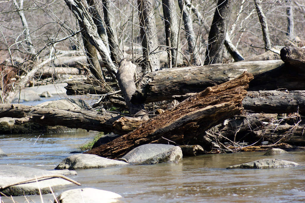 Battle Park LoopHiking · ~29 min drivePhoto: HPUPhotogStudent, CC BY 2.0 (via Flickr)
- Blue Flame TrailHiking · ~47 min drive
 Battle Park LoopHiking · ~29 min drivePhoto: HPUPhotogStudent, CC BY 2.0 (via Flickr)
- Lake Wilson LoppHiking · ~8 min drive
- Lake Wilson LoopHiking · ~8 min drive
- Lake Wilson LoopHiking · ~8 min drive
- Hunt Nature TrailHiking · ~11 min drive
- City Lake Walking PathHiking · ~27 min drive
- Salamander RidgeHiking · ~28 min drive
- Swamp LoopHiking · ~37 min drive
Best time to visit Loop B
Best months: February–May and September–December. Best months have typical highs of 55–85 °F, lows of 30 °F or warmer (32 °F where the station doesn't record snow), at most one snowy day and no more than 12 wet days.
Jan
52° / 33°
11 wet
Feb
55° / 34°
10 wet
Mar
63° / 40°
11 wet
Apr
72° / 49°
10 wet
May
80° / 58°
10 wet
Jun
87° / 67°
10 wet
Jul
90° / 71°
11 wet
Aug
88° / 70°
10 wet
Sep
83° / 64°
9 wet
Oct
73° / 52°
9 wet
Nov
63° / 41°
9 wet
Dec
55° / 35°
11 wet
Typical high / low (°F) and days with rain or snow, 1991–2020. Measured at Wilson 3 Sw, NC, 4 mi away at 110 ft. Source: NOAA NCEI U.S. Climate Normals 1991–2020.
Map and trail data © OpenStreetMap contributors
