Upper Falls
- 73 ft
- elevation
- Mar–Jun, Aug–Dec
- best months
Upper Falls is a waterfall in North Carolina, about 0.6 miles from the town of Rocky Mount. It sits at an elevation of 73 feet, making it a low-lying stop close to town. Spring and fall are the most comfortable times to visit. Typical averages from a nearby weather station show October highs around 72°F with lows near 50°F, and April highs around 71°F. Midsummer runs hotter, with July highs near 88°F. The falls sit right next to Battle Park Boulders, a climbing area about 0.1 mile away, and Battle Park Loop and Salamander Ridge, both hikes about 0.3 mile off. City Lake Walking Path is about 1.2 miles away.
- Elevation
- 73 ft
Elevation from USGS 3D Elevation Program terrain data (about 10 m resolution).
- Battle Park BouldersRock climbing0.1 mi
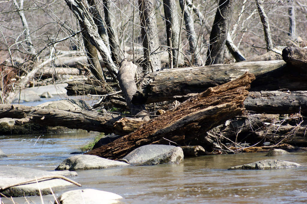 Battle Park LoopHikingPhoto: HPUPhotogStudent, CC BY 2.0 (via Flickr)0.3 mi
- Salamander RidgeHiking0.3 mi
- City Lake Walking PathHiking1.2 mi
- Stony CreekCanoeing8 mi
- Swift CreekCanoeing8.2 mi
- Pig Basket CreekCanoeing9.8 mi
Source: Roamze catalog (indexable pages within 10 miles, PostGIS distance)
Best time to visit Upper Falls
Best months: March–June and August–December. Best months have typical highs of 55–85 °F, lows of 30 °F or warmer (32 °F where the station doesn't record snow), at most one snowy day and no more than 12 wet days.
Jan
50° / 31°
8 wet
Feb
54° / 32°
7 wet
Mar
61° / 38°
8 wet
Apr
71° / 47°
8 wet
May
78° / 57°
9 wet
Jun
85° / 65°
9 wet
Jul
88° / 69°
10 wet
Aug
85° / 67°
9 wet
Sep
81° / 62°
7 wet
Oct
72° / 50°
7 wet
Nov
65° / 39°
7 wet
Dec
55° / 34°
8 wet
Typical high / low (°F) and days with rain or snow, 1991–2020. Measured at Rocky Mt 8 Ese, NC, 8.3 mi away at 110 ft. Source: NOAA NCEI U.S. Climate Normals 1991–2020.
