Lighter Stump Trail
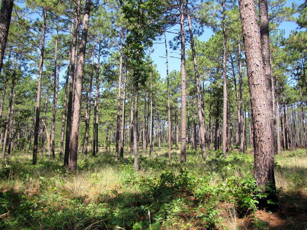 Photo: Gerry Dincher, CC BY-SA 2.0 (via Flickr)
- 0.6 mi
- round trip
- 121 ft
- climb
- 480 ft
- high point
- Out and back
- route
- Feb–May, Sep–Dec
- best months
Lighter Stump Trail is a short, easy out-and-back hike in North Carolina, about half a mile from the community of Highland Trails. The trail is just over a mile long, with a total elevation gain of about 120 feet, and it starts and ends at roughly 480 feet. The climb is gentle, with the steepest stretch at about 0.4 miles in, and the trail is best suited to a quick outing rather than a full day on foot. Spring and fall are the most comfortable times to go. Typical averages from a nearby weather station show October highs around 73°F with lows near 49°F, and April is similar at about 73°F by day and 47°F at night. Midsummer highs typically reach about 90°F. The trail sits close to several other routes. Bower's Bog Trail and Pine Barrens Trail are each about 0.1 mile away, and Pine Island Trail is about 0.6 mile off. Round Timber Trail lies roughly 1.7 miles away.
- Bower's Bog TrailHikingPhoto: Gerry Dincher, CC BY-SA 2.0 (via Flickr)0.1 mi
- Pine Barrens TrailHikingPhoto: Gerry Dincher, CC BY-SA 2.0 (via Flickr)0.1 mi
 Pine Island TrailHikingPhoto: bobistraveling, CC BY 2.0 (via Flickr)0.6 mi
 Round Timber TrailHikingPhoto: bobistraveling, CC BY 2.0 (via Flickr)1.7 mi
- David White TrailHiking5 mi
- Longleaf TrailHiking5.2 mi
- Sandhills Horticultural Gardens PathHiking5.5 mi
- Little RiverCanoeing7 mi
Source: Roamze catalog (indexable pages within 10 miles, PostGIS distance)
- Bower's Bog TrailHiking · Next doorPhoto: Gerry Dincher, CC BY-SA 2.0 (via Flickr)
- All American TrailHiking · ~11 min drive
- Hoke County Community Forest TrailHiking · ~21 min drive
- Pine Barrens TrailHiking · Next doorPhoto: Gerry Dincher, CC BY-SA 2.0 (via Flickr)
- Calloway Forest Preserve TrailHiking · ~16 min drive
- Governors CreekHiking · ~30 min drive
- Pine Barrens TrailHiking · Next doorPhoto: bobistraveling, CC BY 2.0 (via Flickr)
- Pine Island TrailHiking · ~1 min drivePhoto: bobistraveling, CC BY 2.0 (via Flickr)
- Round Timber TrailHiking · ~3 min drivePhoto: bobistraveling, CC BY 2.0 (via Flickr)
 Rockefeller Loop TrailHiking · ~38 min drivePhoto: Gerry Dincher, CC BY-SA 2.0 (via Flickr)
Best time to visit Lighter Stump Trail
Best months: February–May and September–December. Best months have typical highs of 55–85 °F, lows of 30 °F or warmer (32 °F where the station doesn't record snow), at most one snowy day and no more than 12 wet days.
Jan
53° / 31°
8 wet
Feb
56° / 32°
7 wet
Mar
65° / 40°
8 wet
Apr
73° / 47°
7 wet
May
80° / 56°
7 wet
Jun
87° / 65°
8 wet
Jul
90° / 69°
9 wet
Aug
88° / 67°
8 wet
Sep
83° / 61°
7 wet
Oct
73° / 49°
7 wet
Nov
64° / 39°
6 wet
Dec
55° / 33°
8 wet
Typical high / low (°F) and days with rain or snow, 1991–2020. Measured at Carthage Wtp, NC, 12.9 mi away at 440 ft. Source: NOAA NCEI U.S. Climate Normals 1991–2020.
Map and trail data © OpenStreetMap contributors
