Youth Group Campground
Campground
Campground · 1.6 mi from the trail
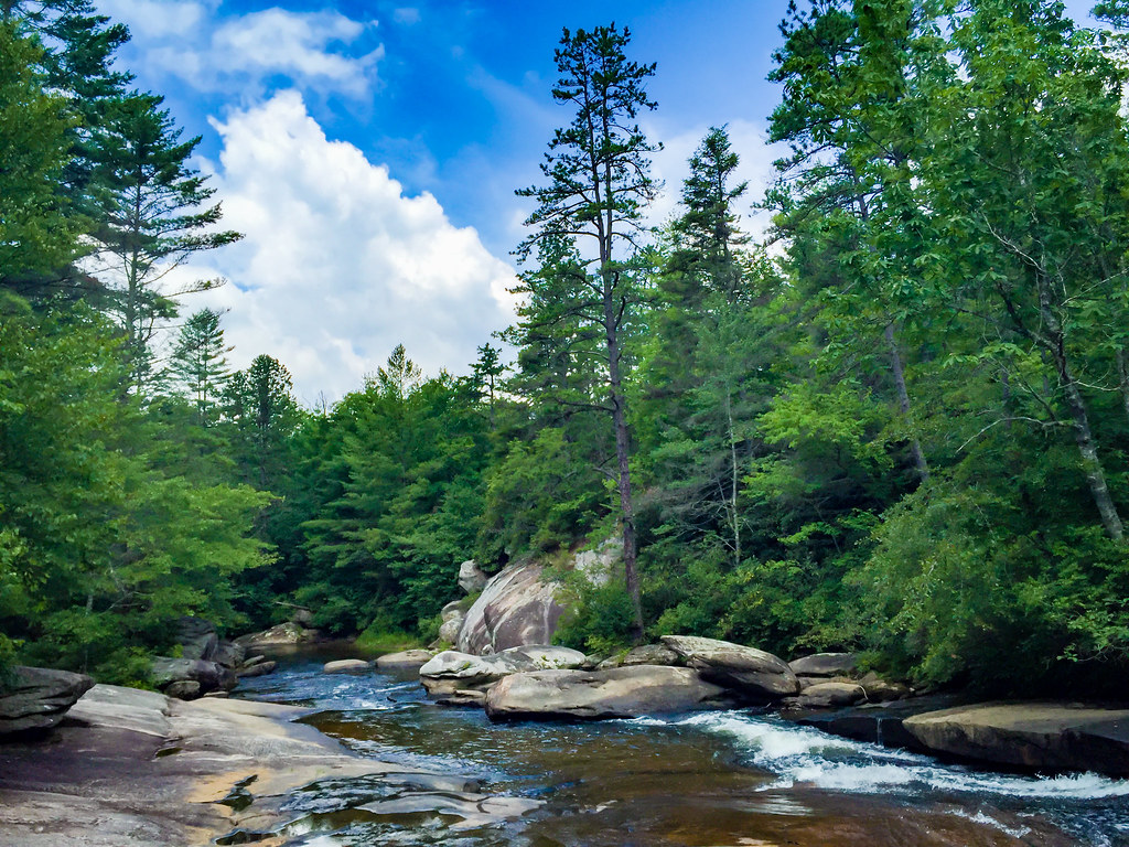
 Photo: chascow, CC BY 2.0 (via Flickr)
Hooker Creek Trail is an easy out-and-back hike in western North Carolina, about 2 miles from the small community of Hamilton Estates. The trail is just over 1.3 miles long, and the round trip covers about 2.7 miles with a total climb of about 520 feet. The route starts at an elevation of roughly 2,730 feet and climbs to about 2,790 feet before turning back. The steepest stretch comes about halfway into the hike, with a grade of about 12%. The climb is gentle enough to fit easily into a short outing. For comfortable weather, aim for spring or fall. Typical averages from a nearby weather station run from highs around 69°F in April to about 70°F in October, while summer highs climb into the low 80s. That station sits about 600 feet lower than the trail, so temperatures up here run somewhat cooler. The trail sits among several other short routes, including the Boundary Trail and the Ruffed Grouse Trail, both within half a mile. Paddlers can find Crab Creek about 1.6 miles away, and Sycamore Flats Picnic Shelter offers a place to picnic and camp a little over 7 miles off.
Youth Group Campground
Campground
 If it rainsMx. Granger, CC0 · Wikimedia Commons
Places © OpenStreetMap contributors, Places © Overture Maps Foundation · Photos: Mx. Granger, CC0 (commons)
More in HendersonvilleNot on Roamze yet. Their page has how to reach them.
 Boundary TrailHikingPhoto: chascow, CC BY 2.0 (via Flickr)0.3 miRuffed Grouse TrailHikingPhoto: chascow, CC BY 2.0 (via Flickr)0.4 miRidgeline TrailHikingPhoto: chascow, CC BY 2.0 (via Flickr)0.5 mi
Source: Roamze catalog (indexable pages within 10 miles, PostGIS distance)
Boundary TrailHiking · Next doorPhoto: chascow, CC BY 2.0 (via Flickr) Corn Mill Shoals TrailHiking · ~5 min drivePhoto: anjanettew, CC BY-SA 2.0 (via Flickr)Ruffed Grouse TrailHiking · Next doorPhoto: chascow, CC BY 2.0 (via Flickr)
 Cedar Rock TrailHiking · ~6 min drivePhoto: Osajus Photography, CC BY 2.0 (via Flickr)Ridgeline TrailHiking · Next doorPhoto: chascow, CC BY 2.0 (via Flickr)Shoal Creek TrailHiking · ~1 min drivePhoto: chascow, CC BY 2.0 (via Flickr)
 Isaac Heath TrailHiking · ~2 min drivePhoto: Apuch, CC BY-SA 2.0 (via Flickr)
Best months: March–April and September–November. Best months have typical highs of 55–85 °F, lows of 30 °F or warmer (32 °F where the station doesn't record snow), at most one snowy day and no more than 12 wet days.
Jan
49° / 26°
11 wet
Feb
53° / 28°
10 wet
Mar
60° / 34°
12 wet
Apr
69° / 41°
12 wet
May
75° / 50°
13 wet
Jun
81° / 58°
15 wet
Jul
84° / 62°
16 wet
Aug
83° / 61°
16 wet
Sep
78° / 55°
12 wet
Oct
70° / 43°
10 wet
Nov
61° / 33°
9 wet
Dec
52° / 28°
11 wet
Typical high / low (°F) and days with rain or snow, 1991–2020. Measured at Pisgah Forest 3 Ne, NC, 4.9 mi away at 2,190 ft. The station sits about 600 ft lower than this place, so expect it a little cooler here. This station doesn't record snowfall. Source: NOAA NCEI U.S. Climate Normals 1991–2020.
Map and trail data © OpenStreetMap contributors

