Haoe Lead
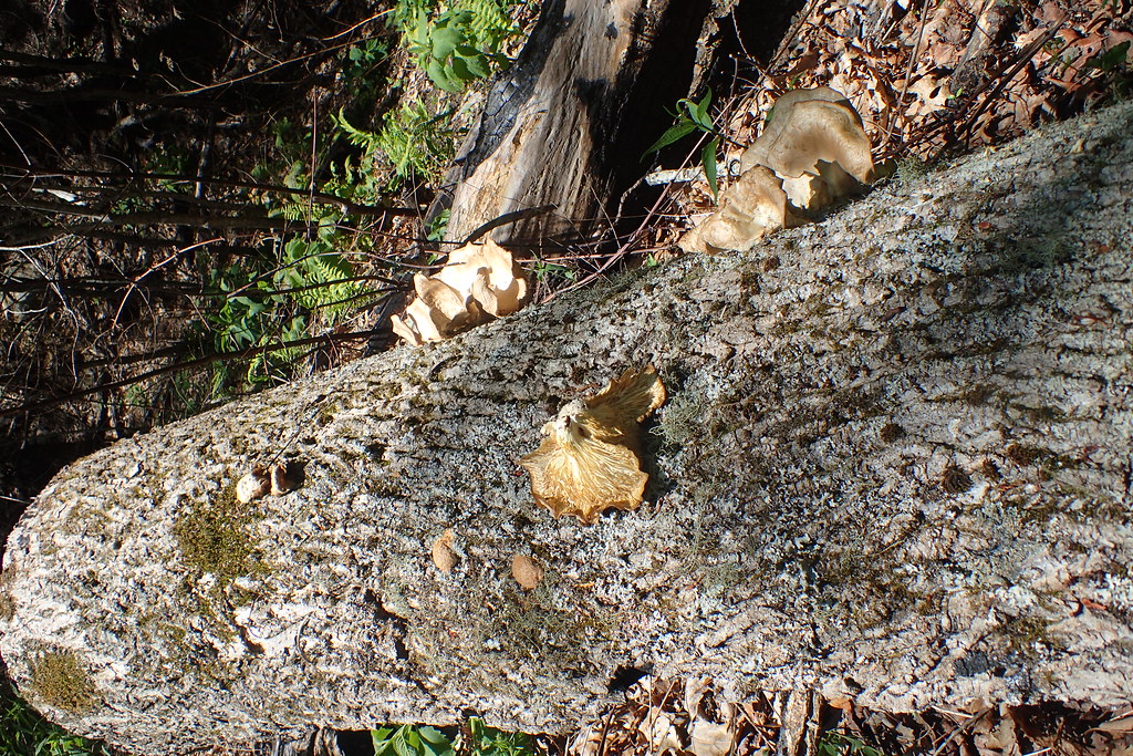
 Photo: MichaelGras, CC BY 2.0 (via Flickr)
- 12.9 mi
- round trip
- 3,646 ft
- climb
- 5,279 ft
- high point
- Out and back
- route
Is Haoe Lead open right now?
Closure in the area
There's a closure order in National Forests in North Carolina. It doesn't name Haoe Lead, so check the source for the area it covers (2 listed).
Maple Sally Road Closure
Agency closure covering National Forests in North Carolina · USFS · National Forests in North Carolina
Table Rock Road construction starts Nov. 2, 2026
Agency closure covering National Forests in North Carolina · USFS · National Forests in North Carolina
Temporary Closure - The Elk Falls Trail
Agency alert covering National Forests in North Carolina · USFS · National Forests in North Carolina
Rainbow Springs Road closed for reconstruction
Agency alert covering National Forests in North Carolina · USFS · National Forests in North Carolina
Siddie Fields Day Use Area closed for improvements
Agency alert covering National Forests in North Carolina · USFS · National Forests in North Carolina
As of · Source: USFS · National Forests in North Carolina. Agencies don't list every closure — check before you go.
Haoe Lead is a hard out-and-back hike of about 13 miles on the Cheoah Ranger District of the National Forests in North Carolina. The trail is front-loaded, with the steepest stretch coming at about 2.8 miles, and the climb totals about 3,646 feet round trip. The trailhead is named Haoe Lead Trailhead, and the route reaches a high point of about 5,279 feet. The trail is natural-surface and bikes are not allowed. It is managed by the Forest Service and is open year-round. Plan on about six hours for the trip. The Deep Creek Connector and the Deep Creek hike both start within about a mile and a half. Horse Cove Campground and Yellow Creek Falls Trail lie a little farther away, at about 2 miles and 2 miles respectively.
Local outfitters
- GSM Outfitters27 mi away
- Hurshel's Outfitters34 mi away
Not on Roamze yet. Their page has how to reach them.
Conditions and forecast on Rock Creek Knob
Daily highs and lows, wind and the chance of precipitation at the summit and route start for the next 7 days, from the Open-Meteo model.
 DEEP CREEK CONNECTORHikingPhoto: MichaelGras, CC BY 2.0 (via Flickr)0.8 mi
- Deep CreekHikingPhoto: MichaelGras, CC BY 2.0 (via Flickr)1.3 mi
- Deep Creek Hunt CampCamping1.6 mi
- Yellow Creek Falls TrailHiking1.9 mi
- Horse Cove CampgroundCamping2.2 mi
- Rattler Ford CampgroundCamping2.7 mi
- Massey Branch AreaPier fishing6.3 mi
- Twentymile CreekCanoeing6.6 mi
Source: Roamze catalog (indexable pages within 10 miles, PostGIS distance)
- DEEP CREEK CONNECTORHiking · ~1 min drivePhoto: MichaelGras, CC BY 2.0 (via Flickr)
 Deep CreekHiking · ~3 min drivePhoto: MichaelGras, CC BY 2.0 (via Flickr)
 Twentymile TrailHiking · ~9 min drivePhoto: MichaelGras, CC BY 2.0 (via Flickr)
- Wolf Ridge TrailHiking · ~11 min drive
- Deep CreekHiking · ~2 min drivePhoto: MichaelGras, CC BY 2.0 (via Flickr)
 Naked GroundHiking · ~5 min drivePhoto: Ken Thomas, Public domain (via Wikimedia Commons)
 Wright's CreekHiking · ~10 min drivePhoto: MichaelGras, CC BY 2.0 (via Flickr)
- Yellow Hammer GapHiking · ~8 min drive
- Jenkins MeadowHiking · ~4 min drivePhoto: Ken Thomas, Public domain (via Wikimedia Commons)
- Yellow Creek Falls TrailHiking · ~3 min drive

Route details
- Distance
- 12.9 mi round trip
- Climbing
- About 3,646 ft
- Starts at
- Haoe Lead Trailhead (about 3,406 ft)
- Summit
- 4,233 ft
- Difficulty
- Hard
- Time
- About 6 hours
Season
Season: Year-round.
Questions about this route
How long is the Haoe Lead on Rock Creek Knob?
About 12.9 mi round trip from Haoe Lead Trailhead (about 3,406 ft).
How much elevation gain is on the Haoe Lead?
About 3,646 ft of climbing round trip.
How hard is the Haoe Lead?
It is rated hard.
Where does the Haoe Lead start?
Haoe Lead Trailhead (about 3,406 ft).
How long does the Haoe Lead take?
About 6 hours round trip.
When is the best time for the Haoe Lead?
Year-round.
