Grassy Ridge Trail
- 1.1 mi
- round trip
- 599 ft
- climb
- 1,172 ft
- high point
- Out and back
- route
- Mar–Jun, Aug–Nov
- best months
Grassy Ridge Trail is a moderate out-and-back hike in North Carolina, about 1.4 miles from the town of Pinnacle. The trail is roughly 2.1 miles long and gains about 600 feet of elevation, reaching a high point of 1,172 feet. The climb is most pronounced in the middle of the route, with the steepest stretch at about 0.68 miles in, where the grade reaches about 11 percent. The most comfortable months for a visit are typically April and October, when typical averages from a nearby weather station in Rural Hall run to highs around 69°F and lows in the mid-40s. The station sits several hundred feet lower than the trail's high point, so temperatures on the ridge run a bit cooler. The hike takes about an hour to complete. Mountain Trail is the closest neighbor at 0.7 miles, with Grindstone Trail and Pilot Knob Trail about a mile away. Climbers can find Ground Up aka Big Gully roughly 1.5 miles off.
 Mountain TrailHikingPhoto: bobistraveling, CC BY 2.0 (via Flickr)0.7 mi
- Grindstone TrailHikingPhoto: bobistraveling, CC BY 2.0 (via Flickr)1.2 mi
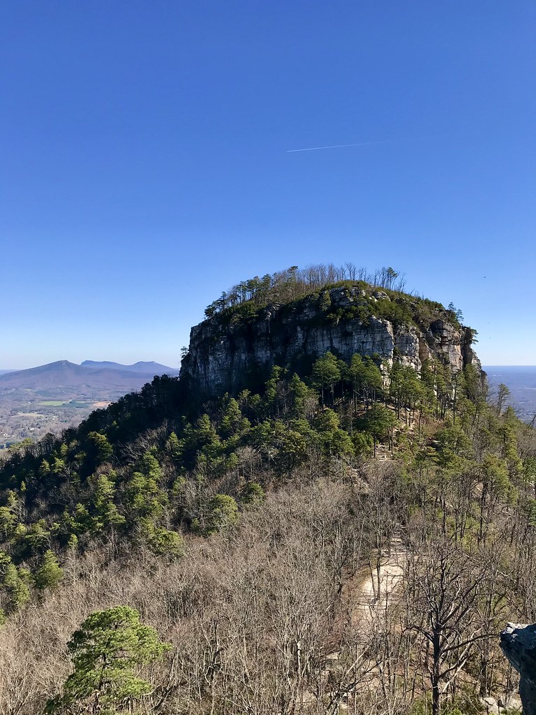 Pilot Knob TrailHikingPhoto: James Willamor, CC BY-SA 2.0 (via Flickr)1.3 mi
- Parking LotRock climbing1.5 mi
- Ground Up aka Big GullyRock climbing1.5 mi
- Big AreteRock climbing1.5 mi
- Little Yadkin RiverCanoeing3.4 mi
- Ararat River Paddle TrailCanoeing6.9 mi
Source: Roamze catalog (indexable pages within 10 miles, PostGIS distance)
- Mountain TrailHiking · ~1 min drivePhoto: bobistraveling, CC BY 2.0 (via Flickr)
- Grindstone TrailHiking · ~2 min drivePhoto: bobistraveling, CC BY 2.0 (via Flickr)
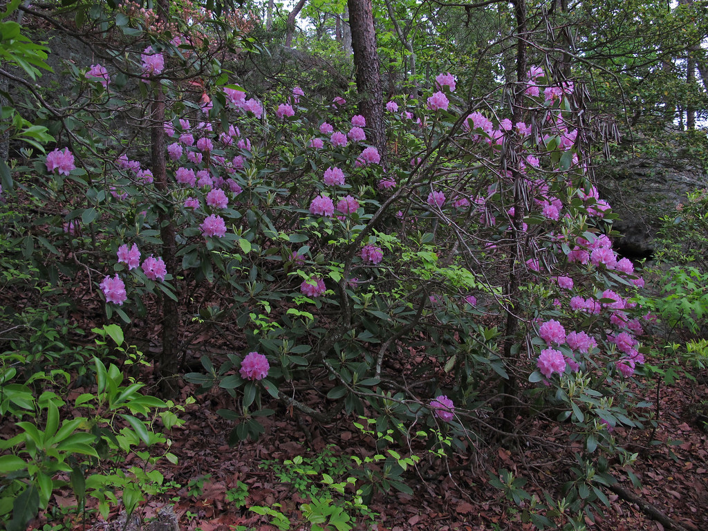 Diamond Lake Bottoms TrailHiking · ~18 min drivePhoto: pmuellr, CC BY 2.0 (via Flickr)
- Pilot Knob TrailHiking · ~2 min drivePhoto: James Willamor, CC BY-SA 2.0 (via Flickr)
 Fishing PathHiking · ~19 min drivePhoto: bobistraveling, CC BY 2.0 (via Wikimedia Commons)
- Pilot Creek TrailHiking · ~2 min drivePhoto: bobistraveling, CC BY 2.0 (via Flickr)
 Riverbluffs TrailHiking · ~23 min drivePhoto: npdoty, CC BY 2.0 (via Flickr)
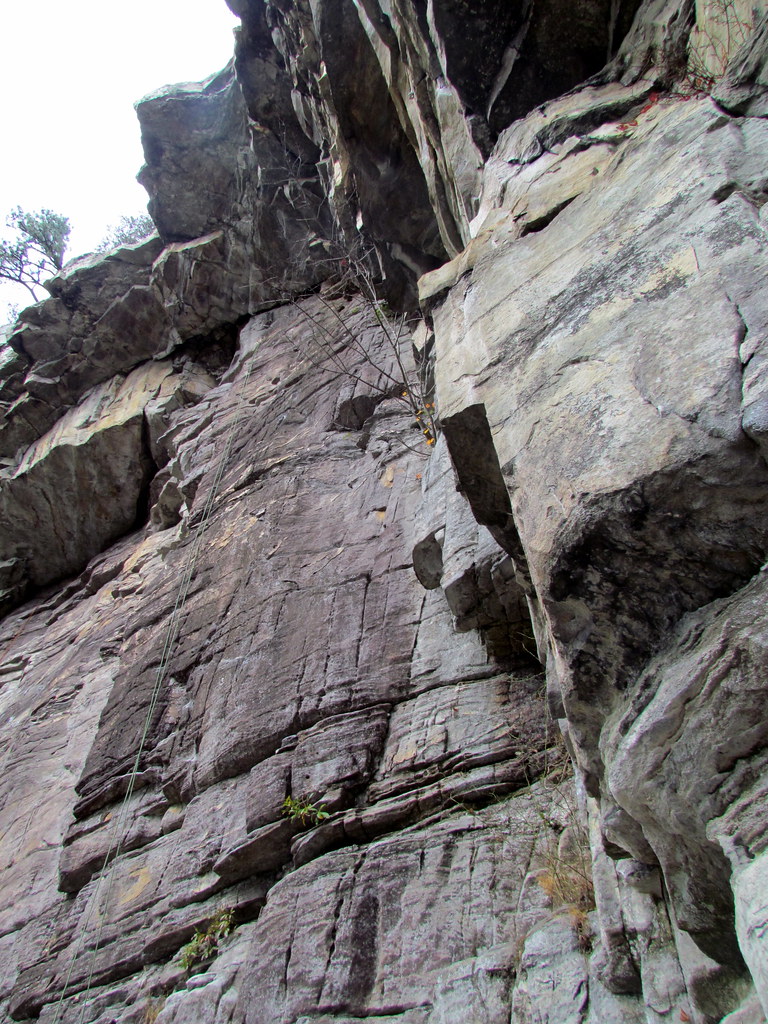 Grindstone TrailHiking · ~3 min drivePhoto: bobistraveling, CC BY 2.0 (via Flickr)
- Indian Creek TrailHiking · ~23 min drivePhoto: npdoty, CC BY 2.0 (via Flickr)
- Ledge Spring TrailHiking · ~3 min drivePhoto: bobistraveling, CC BY 2.0 (via Flickr)
Best time to visit Grassy Ridge Trail
Best months: March–June and August–November. Best months have typical highs of 55–85 °F, lows of 30 °F or warmer (32 °F where the station doesn't record snow), at most one snowy day and no more than 12 wet days.
Jan
48° / 28°
Feb
51° / 30°
Mar
59° / 36°
Apr
69° / 45°
May
77° / 54°
Jun
84° / 63°
Jul
87° / 67°
Aug
85° / 65°
Sep
79° / 59°
Oct
69° / 47°
Nov
59° / 37°
Dec
50° / 31°
Typical high / low (°F) and days with rain or snow, 1991–2020. Measured at Rural Hall, NC, 10.7 mi away at 960 ft. This station doesn't record snowfall. Source: NOAA NCEI U.S. Climate Normals 1991–2020.
Map and trail data © OpenStreetMap contributors
