Laurel Fork Campsite
Campground
Campground · 0.9 mi from the trail
Clear today
Weather is good · OpenWeather · checked just now
Foothills Trail is a 5.7-mile out-and-back hike in the Jocassee Gorges, a state-managed area in North Carolina's foothills. The trail starts at about 1,672 feet and climbs to a high point of 1,801 feet, with a total elevation gain of 1,563 feet over the course of the round trip. The steepest stretch comes at about 2.2 miles in, where the grade reaches 17 percent. The most comfortable months for a visit are typically October and May, when typical averages from a nearby weather station run to highs around 67°F and 72°F. That station sits about 1,200 feet higher than the trail, so temperatures on the trail run warmer than those figures. The hike takes about 2.5 hours. Canebrake Trail and Auger Hole Trail both lie about 2 miles away, and Indian Camp Trail is about 2.4 miles off. Lake Jocassee, a fishing lake in South Carolina, is about 4.4 miles away.
Laurel Fork Campsite
Campground
Sunset Rock
Viewpoint
Cliff in Macon County, North Carolina, United States
Places © OpenStreetMap contributors
More in HighlandsNot on Roamze yet. Their page has how to reach them.
Source: Roamze catalog (indexable pages within 10 miles, PostGIS distance)
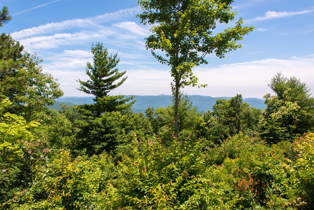 Raymond Fisher TrailHiking · ~7 min drivePhoto: WashuOtaku, CC BY-SA 2.0 (via Flickr)Rainbow FallsHiking · ~8 min drivePhoto: WashuOtaku, CC BY-SA 2.0 (via Flickr)Rainbow Falls TrailHiking · ~7 min drivePhoto: WashuOtaku, CC BY-SA 2.0 (via Flickr)
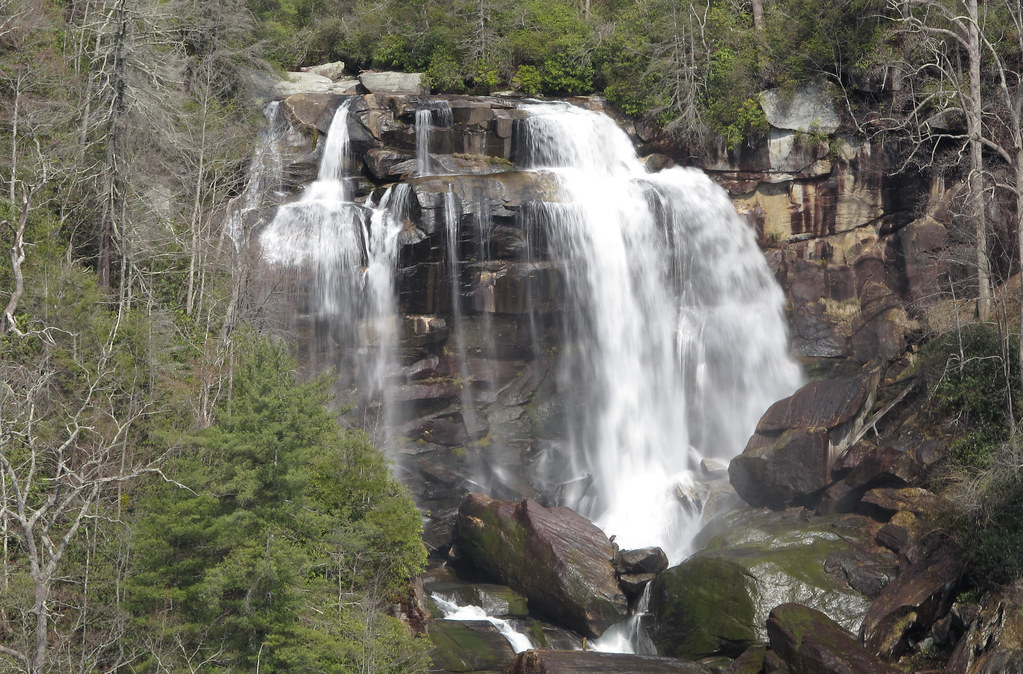 Whitewater FallsHiking · ~12 min drivePhoto: pmuellr, CC BY 2.0 (via Flickr)
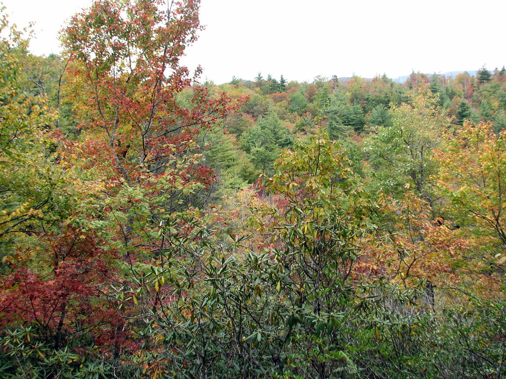 Bearwallow Valley TrailHiking · ~8 min drivePhoto: bobistraveling, CC BY 2.0 (via Flickr)
Best months: March–June and August–November. Best months have typical highs of 55–85 °F, lows of 30 °F or warmer (32 °F where the station doesn't record snow), at most one snowy day and no more than 12 wet days.
Jan
48° / 26°
9 wet
Feb
52° / 28°
9 wet
Mar
58° / 32°
10 wet
Apr
66° / 39°
10 wet
May
72° / 47°
11 wet
Jun
78° / 56°
12 wet
Jul
80° / 59°
13 wet
Aug
80° / 59°
12 wet
Sep
75° / 53°
10 wet
Oct
67° / 41°
8 wet
Nov
59° / 32°
8 wet
Dec
50° / 28°
9 wet
Typical high / low (°F) and days with rain or snow, 1991–2020. Measured at Jocassee 8 Wnw, SC, 10.9 mi away at 2,540 ft. The station sits about 700 ft higher than this place, so expect it a little warmer here. This station doesn't record snowfall. Source: NOAA NCEI U.S. Climate Normals 1991–2020.
Map and trail data © OpenStreetMap contributors
