Falling Waters Trail
- 0.4 mi
- round trip
- 101 ft
- climb
- 925 ft
- high point
- Out and back
- route
- Mar–Jun, Sep–Nov
- best months
Falling Waters Trail is a short out-and-back hike in Guilford County Open Space, about 0.4 miles long, with a total elevation gain of about 100 feet. The route starts at about 900 feet, peaks at 925 feet, and descends back to about 850 feet, so the whole trip is roughly 0.8 miles. The steepest stretch comes near the middle, around the 0.3-mile mark, where the grade reaches about 12%. The trail is rated moderate, and the climb is gentle enough to fit into a longer day on nearby routes. Spring and fall are the most comfortable times to go. Typical averages from a nearby weather station show October highs around 71°F and April highs around 71°F, with summer highs climbing into the upper 80s. The Mountains-to-Sea Trail passes within about a tenth of a mile, making it easy to combine the two. Belews Creek, a canoeing spot, lies about 3 miles away. Loop D is about 5 miles off, and the Bald Eagle Trail is roughly 8 miles away.
Local outfitters
- Haw River Trail38 mi away
Not on Roamze yet. Their page has how to reach them.
- Mountains-to-Sea TrailHiking0.1 mi
- Belews CreekCanoeing2.9 mi
- Loop DHiking4.9 mi
 Bald Eagle TrailHikingPhoto: Greensboro, NC (@gre…, CC BY-SA 3.0 (via Wikimedia Commons)7.8 mi
- Hogans Creek LoopHiking8 mi
 The Vineyard TrailHikingPhoto: James Roberts (Jampp…, CC BY-SA 3.0 (via Wikimedia Commons)8.2 mi
- Beechwood Bottom LoopHiking8.6 mi
- Poets WalkHiking8.7 mi
Source: Roamze catalog (indexable pages within 10 miles, PostGIS distance)
- Bald Eagle TrailHiking · ~13 min drivePhoto: Greensboro, NC (@gre…, CC BY-SA 3.0 (via Wikimedia Commons)
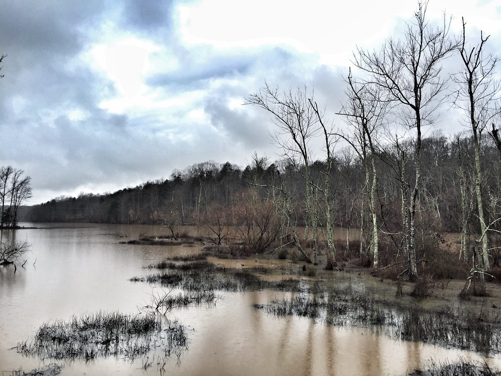 Salem Lake TrailHiking · ~16 min drivePhoto: VoxLive, CC BY 2.0 (via Flickr)
 Salem Lake TrailHiking · ~16 min drivePhoto: VoxLive, CC BY 2.0 (via Flickr)
- Bald Eagle TrailHiking · ~14 min drivePhoto: Greensboro, NC (@gre…, CC BY-SA 3.0 (via Wikimedia Commons)
 Laurel Bluff TrailHiking · ~21 min drivePhoto: EmCnNC, CC BY-SA 3.0 (via Wikimedia Commons)
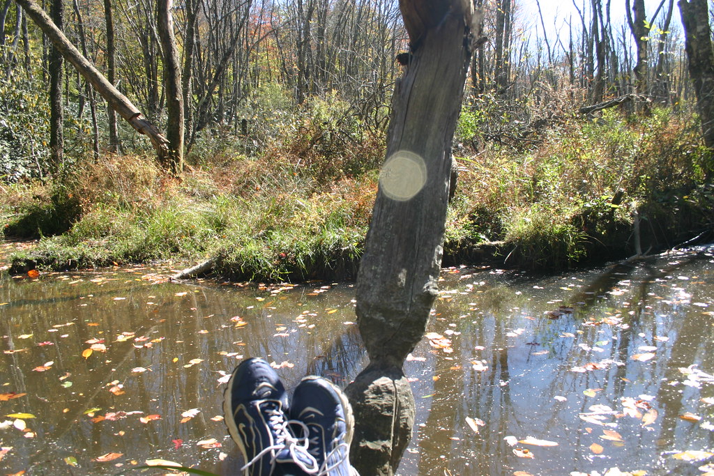 Piedmont TrailHiking · ~19 min drivePhoto: ballancio, CC BY 2.0 (via Flickr)
- The Vineyard TrailHiking · ~14 min drivePhoto: James Roberts (Jampp…, CC BY-SA 3.0 (via Wikimedia Commons)
- Keyauwee Loop TrailHiking · Next door
- Reedy Fork TrailHiking · ~19 min drivePhoto: ballancio, CC BY 2.0 (via Flickr)
- Big Loop TrailHiking · ~16 min drivePhoto: Greensboro, NC (@gre…, CC BY-SA 3.0 (via Wikimedia Commons)
Best time to visit Falling Waters Trail
Best months: March–June and September–November. Best months have typical highs of 55–85 °F, lows of 30 °F or warmer (32 °F where the station doesn't record snow), at most one snowy day and no more than 12 wet days.
Jan
49° / 30°
10 wet
Feb
53° / 33°
9 wet
Mar
61° / 39°
11 wet
Apr
71° / 48°
10 wet
May
78° / 57°
11 wet
Jun
85° / 65°
11 wet
Jul
88° / 69°
11 wet
Aug
87° / 68°
10 wet
Sep
80° / 62°
8 wet
Oct
71° / 49°
8 wet
Nov
61° / 39°
8 wet
Dec
52° / 33°
9 wet
Typical high / low (°F) and days with rain or snow, 1991–2020. Measured at Piedmont Triad Intl Ap, NC, 8 mi away at 890 ft. This station doesn't record snowfall. Source: NOAA NCEI U.S. Climate Normals 1991–2020.

Map and trail data © OpenStreetMap contributors
