Youth Group Campground
Campground
Campground · 0.3 mi from the trail
The Demostration Trail is a 2.8-mile hike in North Carolina, about 1.8 miles from the community of Jeter Mountain Terrace. It is an easy route with a total elevation gain of 827 feet, rising from a starting point of about 2,666 feet to a high of 2,741 feet. The trail also has a total descent of 1,215 feet, so it is not a straightforward climb. The steepest stretch comes at about 2.3 miles, where the grade reaches 34 percent. That makes the trail a good choice for a short outing rather than a long day on foot. For comfortable weather, aim for late spring or early fall. Typical averages from a nearby weather station run to highs around 75°F in May and 78°F in September, with October highs near 70°F. That station sits about 550 feet lower than the trail's high point, so temperatures on the trail run a little cooler. The Talking Tree Trail and Crab Creek Trail both start about 0.3 miles away, and Crab Creek offers canoeing about a mile off. Stone Mountain Trail is roughly 1.3 miles away.
Youth Group Campground
Campground
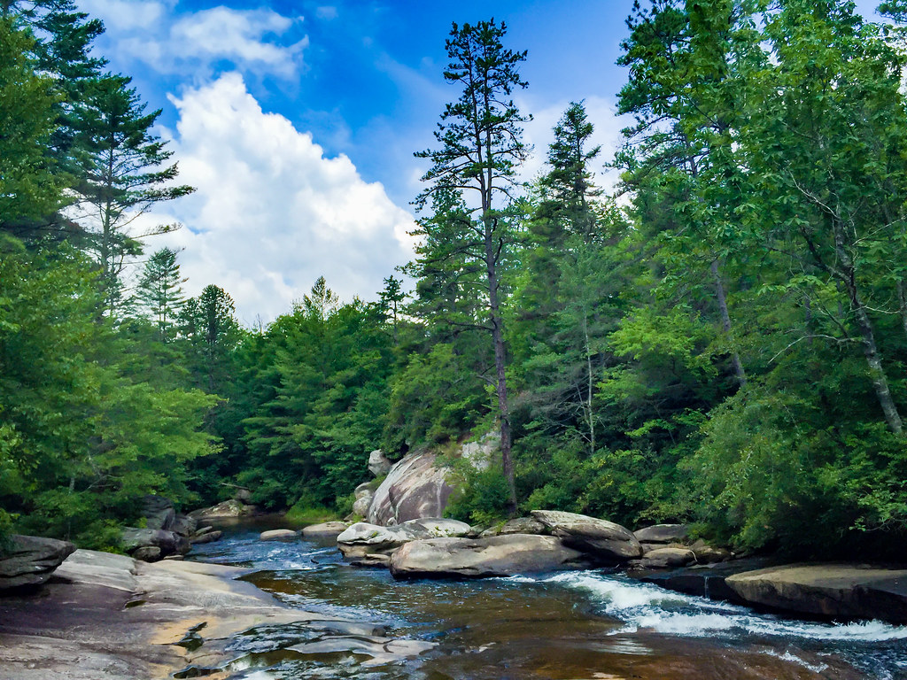
 If it rainsMx. Granger, CC0 · Wikimedia Commons
Places © OpenStreetMap contributors, Places © Overture Maps Foundation · Photos: Mx. Granger, CC0 (commons)
More in HendersonvilleNot on Roamze yet. Their page has how to reach them.
 Stone Mountain TrailHikingPhoto: chascow, CC BY 2.0 (via Flickr)1.3 mi
Source: Roamze catalog (indexable pages within 10 miles, PostGIS distance)
Stone Mountain TrailHiking · ~2 min drivePhoto: chascow, CC BY 2.0 (via Flickr) Corn Mill Shoals TrailHiking · ~8 min drivePhoto: anjanettew, CC BY-SA 2.0 (via Flickr)
 Switchback TrailHiking · ~3 min drivePhoto: chascow, CC BY 2.0 (via Flickr)
 Cedar Rock TrailHiking · ~9 min drivePhoto: Osajus Photography, CC BY 2.0 (via Flickr)Ruffed Grouse TrailHiking · ~3 min drivePhoto: chascow, CC BY 2.0 (via Flickr)Plantation TrailHiking · ~3 min drivePhoto: chascow, CC BY 2.0 (via Flickr)
 Boundary TrailHiking · ~3 min drivePhoto: chascow, CC BY 2.0 (via Flickr)
Best months: March–April and September–November. Best months have typical highs of 55–85 °F, lows of 30 °F or warmer (32 °F where the station doesn't record snow), at most one snowy day and no more than 12 wet days.
Jan
49° / 26°
11 wet
Feb
53° / 28°
10 wet
Mar
60° / 34°
12 wet
Apr
69° / 41°
12 wet
May
75° / 50°
13 wet
Jun
81° / 58°
15 wet
Jul
84° / 62°
16 wet
Aug
83° / 61°
16 wet
Sep
78° / 55°
12 wet
Oct
70° / 43°
10 wet
Nov
61° / 33°
9 wet
Dec
52° / 28°
11 wet
Typical high / low (°F) and days with rain or snow, 1991–2020. Measured at Pisgah Forest 3 Ne, NC, 4.7 mi away at 2,190 ft. The station sits about 600 ft lower than this place, so expect it a little cooler here. This station doesn't record snowfall. Source: NOAA NCEI U.S. Climate Normals 1991–2020.
Map and trail data © OpenStreetMap contributors
