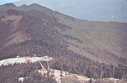
Black Mountain Campground
Campground
The next 6 weekends are full on Recreation.gov
 Photo: Tim Brown Architecture, CC BY 2.0 (via Flickr)
Closure in the area
There's a closure order in National Forests in North Carolina. It doesn't name Briar Bottom Bike, so check the source for the area it covers (2 listed).
Maple Sally Road Closure
Agency closure covering National Forests in North Carolina · USFS · National Forests in North Carolina
Table Rock Road construction starts Nov. 2, 2026
Agency closure covering National Forests in North Carolina · USFS · National Forests in North Carolina
Temporary Closure - The Elk Falls Trail
Agency alert covering National Forests in North Carolina · USFS · National Forests in North Carolina
Rainbow Springs Road closed for reconstruction
Agency alert covering National Forests in North Carolina · USFS · National Forests in North Carolina
Siddie Fields Day Use Area closed for improvements
Agency alert covering National Forests in North Carolina · USFS · National Forests in North Carolina
As of · Source: USFS · National Forests in North Carolina. Agencies don't list every closure — check before you go.
Briar Bottom Bike is a short, easy out-and-back hike in the Appalachian Ranger District of the National Forests in North Carolina, managed by the Forest Service. The route is about 1.2 miles long, with a total elevation gain of 124 feet, and it is rated easy. Bikes are allowed, so it works well for riders as well as hikers. The trail starts and ends at nearly the same elevation, with the high point at about 3,043 feet and the low point at about 2,999 feet. The steepest stretch comes early on, around 0.09 miles in, with a grade of about 6 percent. For comfortable weather, late spring and early fall are the best bets. Typical averages from a nearby weather station at Celo put May highs around 71°F and September highs around 73°F, with October bringing the fewest wet days of the year. The trail sits close to several other destinations. Green Knob and Devils Den Nature are both about 0.1 mile away, and Black Mountain Campground is also about 0.1 mile off. Briar Bottom Group Camp is about 0.3 mile away.
Black Mountain Campground
Campground
J & J's Grill On The Green
Restaurant
 If it rainsDavidhuffcreative, CC BY-SA 4.0 · Wikimedia Commons
Places © OpenStreetMap contributors · Photos: Davidhuffcreative, CC BY-SA 4.0 (commons)
More in Spruce PineNot on Roamze yet. Their page has how to reach them.
 Green KnobHikingPhoto: Tim Brown Architecture, CC BY 2.0 (via Flickr)0.1 mi
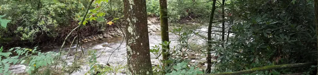 Black Mountain CampgroundCampingPhoto: Recreation.gov (RIDB) / public domain0.1 miDevils Den NatureHikingPhoto: Tim Brown Architecture, CC BY 2.0 (via Flickr)0.1 mi
 Briar Bottom Group CampCampingPhoto: Wncoutdoors, CC BY-SA 3.0 (via Wikimedia Commons)0.3 mi
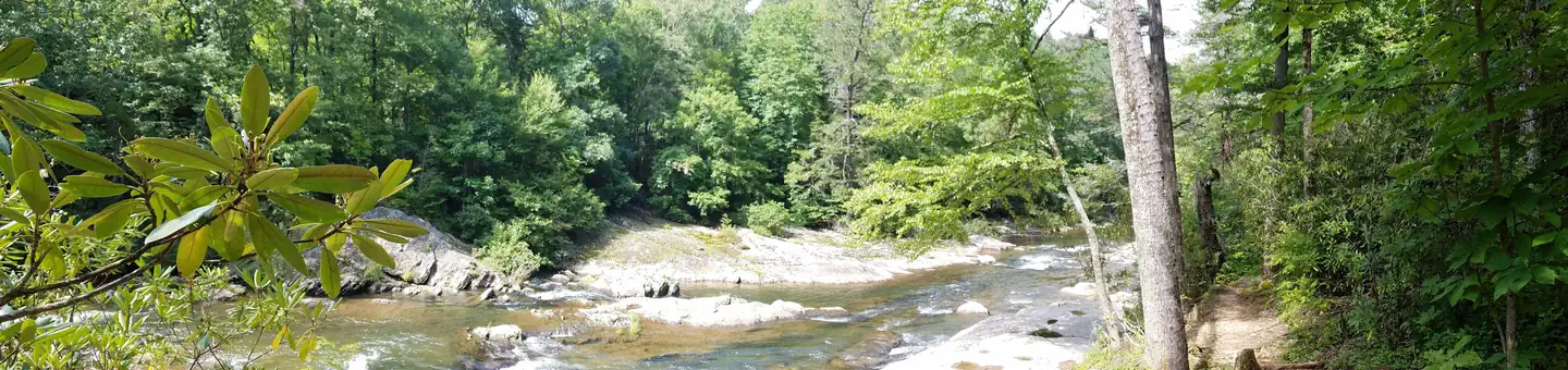 Carolina Hemlocks Rec AreaRiver fishing3.8 mi
Source: Roamze catalog (indexable pages within 10 miles, PostGIS distance)
Green KnobHiking · Next doorPhoto: Tim Brown Architecture, CC BY 2.0 (via Flickr)Devils Den NatureHiking · Next doorPhoto: Tim Brown Architecture, CC BY 2.0 (via Flickr) Buncombe HorseHiking · ~3 min drivePhoto: daveynin, CC BY 2.0 (via Flickr)
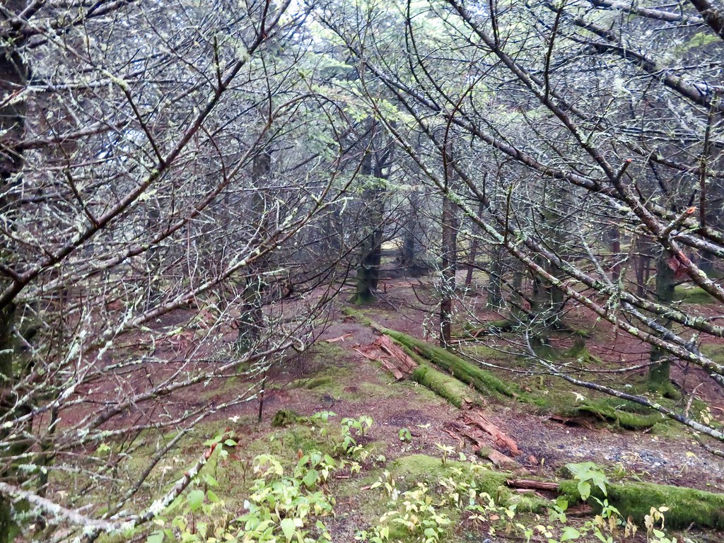 Black Mountain CrestHiking · ~5 min drivePhoto: aafromaa, CC BY 2.0 (via Flickr)North River LoopHiking · Next doorPhoto: Tim Brown Architecture, CC BY 2.0 (via Flickr)
 Big Tom GapHiking · ~5 min drivePhoto: Edwards_SA, CC BY-SA 2.0 (via Flickr)
 Mst - Grandfather RdHiking · ~6 min drivePhoto: Tim Brown Architecture, CC BY 2.0 (via Flickr)South River LoopHiking · Next doorPhoto: Wncoutdoors, CC BY-SA 3.0 (via Wikimedia Commons)
Also worth it near here
Best months: March–June and August–October. Best months have typical highs of 55–85 °F, lows of 30 °F or warmer (32 °F where the station doesn't record snow), at most one snowy day and no more than 12 wet days.
Jan
45° / 23°
10 wet
Feb
49° / 26°
10 wet
Mar
56° / 32°
11 wet
Apr
65° / 40°
11 wet
May
71° / 48°
12 wet
Jun
76° / 55°
12 wet
Jul
79° / 59°
13 wet
Aug
78° / 58°
12 wet
Sep
73° / 52°
9 wet
Oct
65° / 41°
8 wet
Nov
56° / 31°
8 wet
Dec
48° / 26°
10 wet
Typical high / low (°F) and days with rain or snow, 1991–2020. Measured at Celo 2 S, NC, 5.6 mi away at 2,700 ft. This station doesn't record snowfall. Source: NOAA NCEI U.S. Climate Normals 1991–2020.