Creekside Mountain Camping
Campground
Campground · 4.6 mi from the trail
Alfalfa Trail is a short, easy out-and-back hike in North Carolina, about 4 miles from the community of Blue Ridge Forest. The trail is just over half a mile long, with a total climb of about 240 feet from the start to the high point at 2,776 feet, and it can be done in about half an hour. The route rises from a starting elevation of about 2,662 feet to a high of 2,776 feet, with the steepest stretch coming at about 0.23 miles in. The climb is gentle overall, and the trail returns to the starting point, so the total gain and loss are each about 240 feet. For comfortable weather, late spring and early fall are the best bets. Typical averages from a nearby weather station run from highs around 75°F in May to about 78°F in September, with October cooling to highs near 69°F. That station sits roughly 500 feet lower than the trail's high point, so temperatures on the trail run a little cooler. Nearby, the Carolina Loop, Weatherford Trail and Strawberry Gap Trail all lie within about 4 miles. Paddlers can reach Cane Creek, about 4 miles away.
Creekside Mountain Camping
Campground
 If it rainsMx. Granger, CC0 · Wikimedia Commons
Places © OpenStreetMap contributors, Places © Overture Maps Foundation · Photos: Mx. Granger, CC0 (commons)
More in HendersonvilleNot on Roamze yet. Their page has how to reach them.
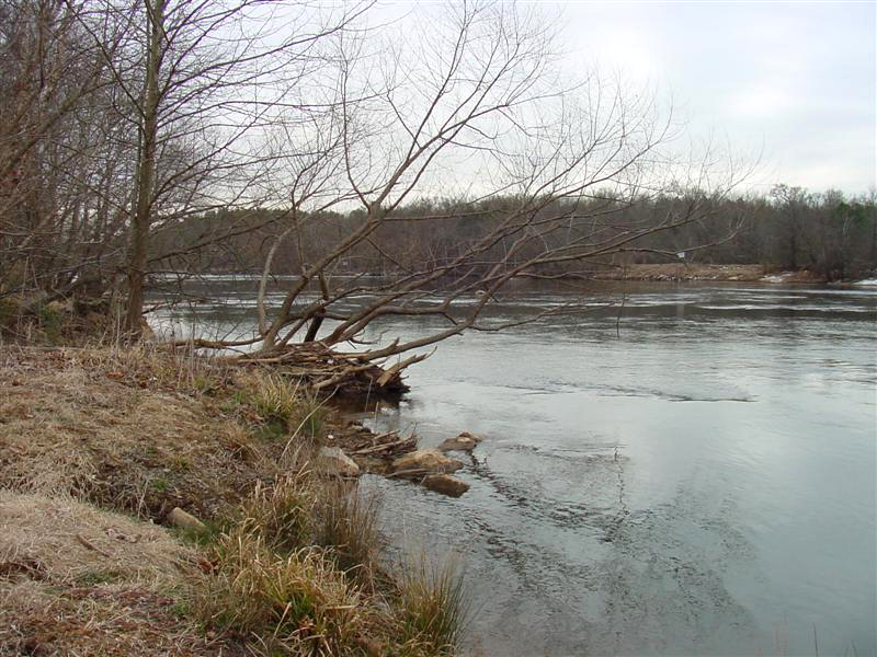 Broad RiverCanoeingPhoto: unknown/w:NOAA, Public domain (via Wikimedia Commons)4.8 mi
 Lower TierRock climbingPhoto: bobistraveling, CC BY 2.0 (via Wikimedia Commons)6.1 mi
Source: Roamze catalog (indexable pages within 10 miles, PostGIS distance)
 Rattlesnake TrailHiking · ~12 min drivePhoto: benuski, CC BY-SA 2.0 (via Flickr)
 Lottie Queen Stamper TrailHiking · ~13 min drivePhoto: Thekohser, CC BY-SA 3.0 (via Wikimedia Commons)
 Great Woodlands Adventure TrailHiking · ~14 min drivePhoto: chascow, CC BY 2.0 (via Flickr)Royal Gorge TrailHiking · ~12 min drivePhoto: benuski, CC BY-SA 2.0 (via Flickr)
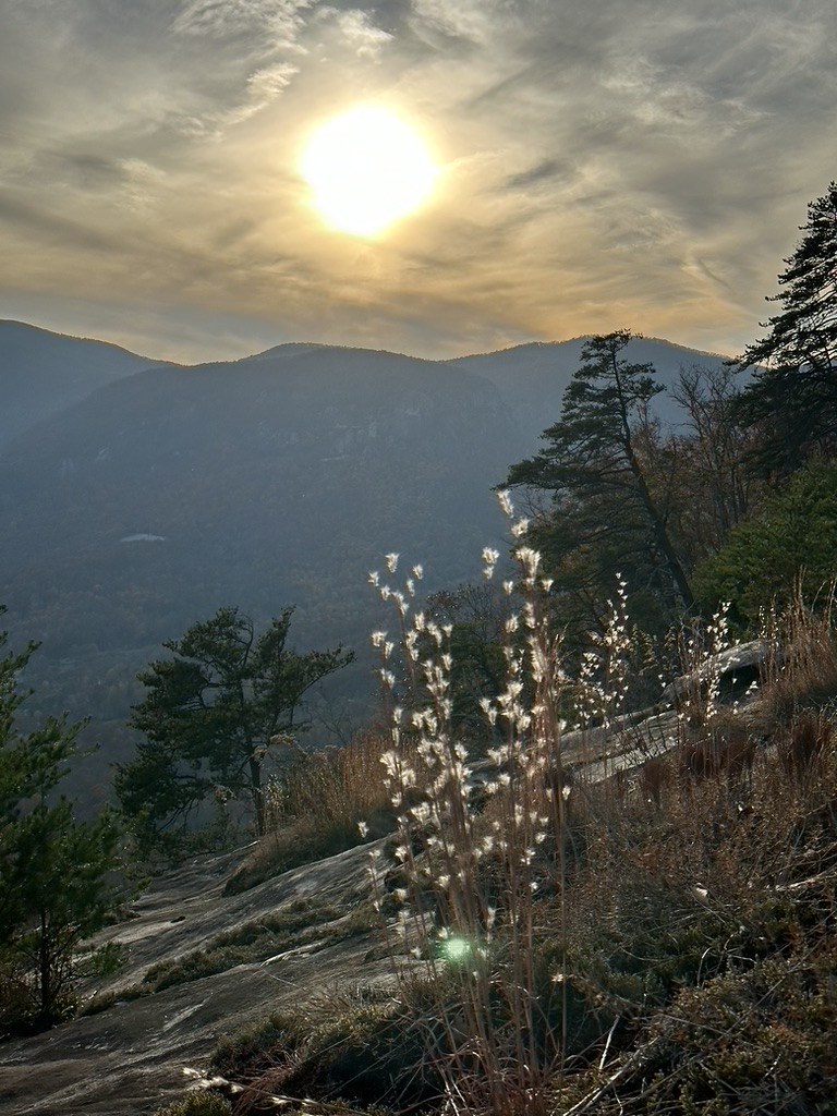 Rumbling Bald LoopHiking · ~14 min drivePhoto: zappowbang, CC BY-SA 2.0 (via Flickr)
 Catawba Falls LoopHiking · ~12 min drivePhoto: Jordan Mitchell, CC BY-SA 3.0 (via Wikimedia Commons)
 Angel Mountain TrailHiking · ~15 min drivePhoto: Dallas Epperson, CC BY-SA 3.0 (via Wikimedia Commons)Rhododendron Ridge TrailHiking · ~13 min drivePhoto: benuski, CC BY-SA 2.0 (via Flickr)
Best months: March–November. Best months have typical highs of 55–85 °F, lows of 30 °F or warmer (32 °F where the station doesn't record snow), at most one snowy day and no more than 12 wet days.
Jan
49° / 26°
Feb
52° / 28°
Mar
58° / 34°
Apr
68° / 42°
May
75° / 50°
Jun
81° / 58°
Jul
84° / 62°
Aug
83° / 61°
Sep
78° / 55°
Oct
69° / 44°
Nov
59° / 33°
Dec
51° / 29°
Typical high / low (°F) and days with rain or snow, 1991–2020. Measured at Black Mtn 2 W, NC, 5.6 mi away at 2,290 ft. This station doesn't record snowfall. Source: NOAA NCEI U.S. Climate Normals 1991–2020.
Map and trail data © OpenStreetMap contributors
