
Great Lakes Seaway Trail
New York
Map
Byway Details
- Designation
- National Scenic Byway
- Length
- 452 mi in New York
About Great Lakes Seaway Trail
The Great Lakes Seaway Trail is a 452.2-mile National Scenic Byway in New York, also designated a New York State Scenic Byway. It begins in Ripley and runs past Westfield, Dunkirk and Buffalo before reaching Niagara Falls, Lewiston and Youngstown. From there the route continues through Olcott, Irondequoit, Sodus Point, Fair Haven and Oswego. It then passes Sackets Harbor, Cape Vincent, Clayton and Alexandria Bay, and ends in Ogdensburg and Waddington. With dozens of towns along the way, the drive breaks easily into shorter segments around Buffalo, Niagara Falls, Oswego or the Clayton and Alexandria Bay area. Summer is the most comfortable season for the drive. Typical July highs reach about 83°F with lows near 64°F, according to averages from a nearby weather station at Westfield. Conditions may differ along a route this long. Places close to the route include the Erie Canalway Trail (Buffalo Harbor State Park to Hertel Avenue), Artpark Boulder and Eastman Lake Trail. The Buffalo Blueway paddling route is about 1.5 miles away.
Scenic byway data: U.S. Department of Transportation, Federal Highway Administration
Facts about this place
When to go
Best time to go: May–Oct. The mildest months here, with typical highs of 61–83°F and lows of 47–64°F.
Typical monthly averages (not a forecast) from the Westfield 2 Sse, NY weather station, 9.2 mi away. High / low in °F.
- Jan34° high21° low
- Feb35° high21° low
- Mar44° high28° low
- Apr57° high38° low
- May69° high50° low
- Jun78° high60° low
- Jul83° high64° low
- Aug80° high63° low
- Sep73° high57° low
- Oct61° high47° low
- Nov49° high36° low
- Dec39° high28° low
Where it is
- Towns along the route
- Ripley · Westfield · Brocton · Dunkirk · Silver Creek · Sunset Bay · Farnham · Lake Erie Beach · Angola on the Lake · Highland-on-the-Lake · Wanakah · Blasdell · Lackawanna · Buffalo · Kenmore · Tonawanda Town · Tonawanda · North Tonawanda · Niagara Falls · Niagara University · Lewiston · Youngstown · Wilson · Olcott · Barker · Irondequoit · Pultneyville · Sodus Point · Wolcott · Red Creek · Fair Haven · SUNY Oswego · Oswego · Henderson · Sackets Harbor · Dexter · Chaumont · Three Mile Bay · Cape Vincent · Clayton · Fishers Landing · Alexandria Bay · Morristown · Ogdensburg · Waddington
Source: USGS GNIS populated places
Nearby
- Horseshoe Road (Abandoned)Cross-country skiing0.1 mi
- North AccessMountain biking0.1 mi
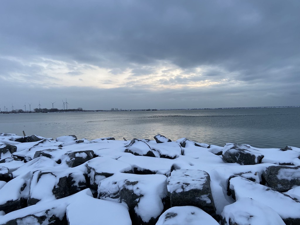 Erie Canalway Trail (Buffalo Harbor State Park to Hertel Avenue)HikingPhoto: btwashburn, CC BY 2.0 (via Flickr)0.1 mi
 Eastman Lake TrailHikingPhoto: vwcampin, CC BY 2.0 (via Flickr)0.1 mi
- Oak ForestCross-country skiing0.1 mi
- Durand Lake TrailHikingPhoto: vwcampin, CC BY 2.0 (via Flickr)0.1 mi
- Orchard HillCross-country skiing0.2 mi
- West Loop TrailHiking0.2 mi
 Blue TrailHikingPhoto: PLeia2, CC BY 2.0 (via Flickr)0.2 mi
- Holt RollersCross-country skiing0.2 mi
- Artpark BoulderRock climbing0.3 mi
- Buffalo BluewayCanoeing1.5 mi
Source: Roamze catalog (indexable pages within 2 miles of the route, PostGIS distance)
