Zim Smith Mid-County Trail
 Photo: Henry Bellagnome from Troy, New York, United States, CC BY-SA 2.0 (via Wikimedia Commons)
- 5.2 mi
- round trip
- 691 ft
- climb
- 196 ft
- high point
- Out and back
- route
- Apr, Jun
- best months
The Zim Smith Mid-County Trail is an easy out-and-back hike in New York, about 0.8 miles from the town of Round Lake. The route is roughly 10.4 miles long, with a total elevation gain of about 129 feet. The trail starts at an elevation of 176 feet and reaches a high point of 196 feet, with the steepest stretch at about 3.6 miles in, where the grade reaches 11 percent. Late spring and early fall are the most comfortable times to go. Typical averages from a nearby weather station in Saratoga Springs show May highs around 73°F and September highs around 75°F, with July the warmest month at about 84°F. Several other trails sit within a few miles. The Blue Trail is about 2.4 miles away and the Main Loop about 2.8 miles. The Ballston Bicycle Path is about 4.4 miles off, and the Zim Smith Trail is about 5.4 miles away.
 Blue TrailHikingPhoto: Dangerfulman66, CC BY-SA 3.0 (via Wikimedia Commons)2.4 mi
- Main LoopHikingPhoto: Dangerfulman66, CC BY-SA 3.0 (via Wikimedia Commons)2.8 mi
- Ballston Bicycle PathHiking4.4 mi
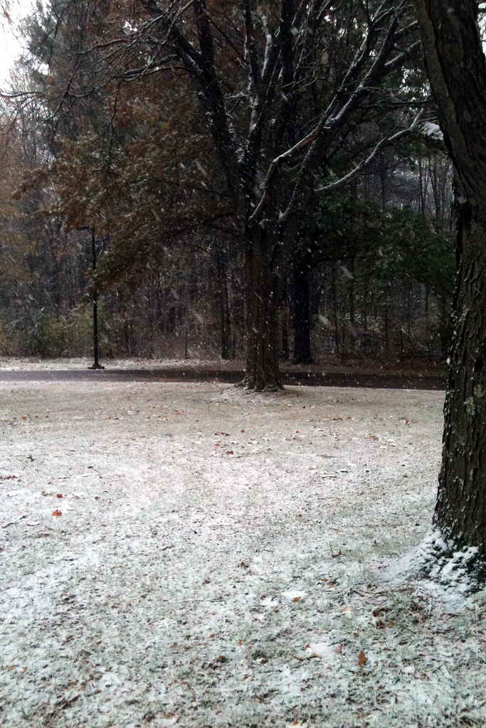 Zim Smith TrailHikingPhoto: P_R_F, CC BY 2.0 (via Flickr)5.4 mi
- Yellow LoopHiking5.5 mi
- Red LoopHiking5.7 mi
- Champlain Valley Trail (Halfmoon to Schuylerville)Hiking7.2 mi
 Five Mile TrailHikingPhoto: New York Public Library, No restrictions (via Wikimedia Commons)8.4 mi
Source: Roamze catalog (indexable pages within 10 miles, PostGIS distance)
 Zim Smith Mid-County TrailHiking · ~2 min drivePhoto: P_R_F, CC BY 2.0 (via Flickr)
- Five Mile TrailHiking · ~14 min drivePhoto: New York Public Library, No restrictions (via Wikimedia Commons)
- Champlain Valley Trail (Halfmoon to Schuylerville)Hiking · ~12 min drive
- Blue TrailHiking · ~4 min drivePhoto: Dangerfulman66, CC BY-SA 3.0 (via Wikimedia Commons)
 Whitmyer-Shaker Gorge TrailHiking · ~15 min drivePhoto: Dougtone, CC BY-SA 2.0 (via Wikimedia Commons)
- Main LoopHiking · ~5 min drivePhoto: Dangerfulman66, CC BY-SA 3.0 (via Wikimedia Commons)
- Zim Smith Mid-County TrailHiking · ~7 min drive
- Zim Smith TrailHiking · ~9 min drivePhoto: P_R_F, CC BY 2.0 (via Flickr)
- Ballston Bicycle PathHiking · ~8 min drive
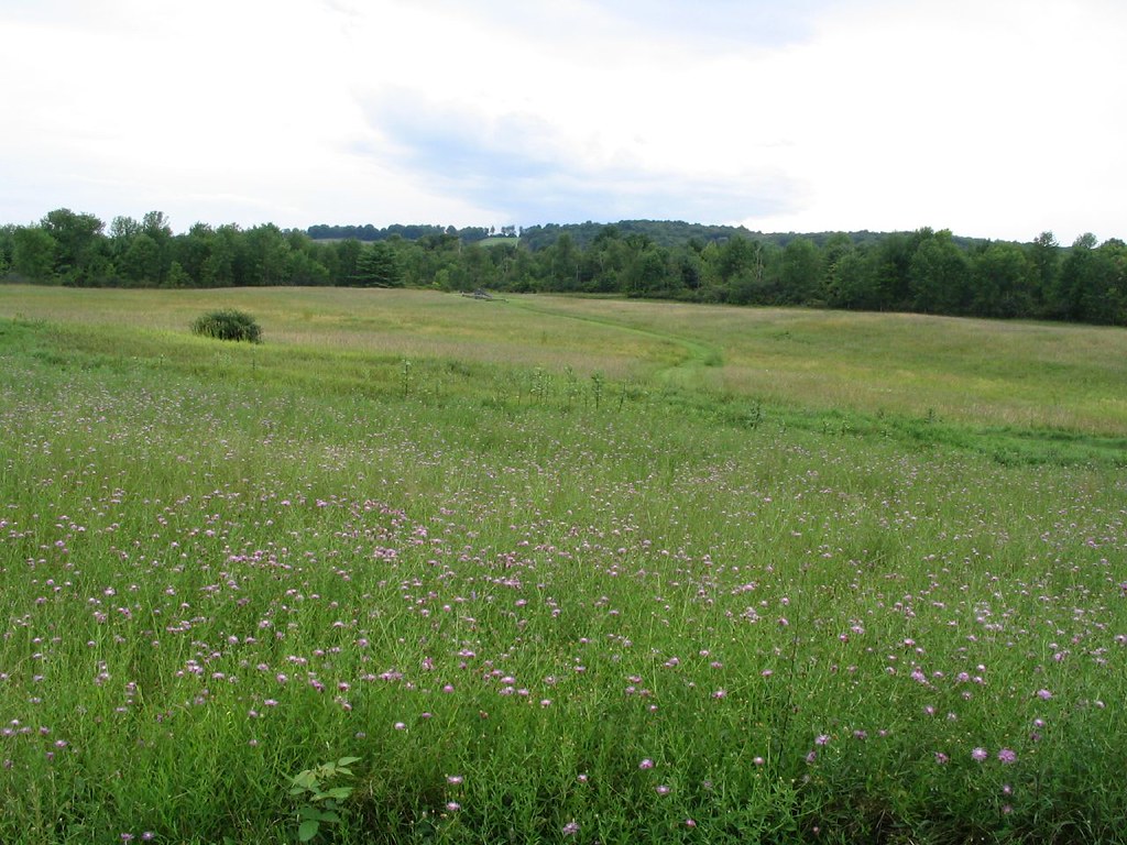 Stop 4 TrailHiking · ~15 min drivePhoto: Ken Lund, CC BY-SA 2.0 (via Flickr)
Best time to visit Zim Smith Mid-County Trail
Best months: April, June and August–October. Best months have typical highs of 55–85 °F, lows of 30 °F or warmer (32 °F where the station doesn't record snow), at most one snowy day and no more than 12 wet days.
Jan
32° / 14°
12 wet
Feb
35° / 16°
10 wet
Mar
45° / 25°
11 wet
Apr
60° / 36°
11 wet
May
73° / 47°
13 wet
Jun
80° / 56°
12 wet
Jul
84° / 61°
13 wet
Aug
82° / 59°
11 wet
Sep
75° / 52°
10 wet
Oct
62° / 41°
11 wet
Nov
49° / 31°
12 wet
Dec
37° / 22°
12 wet
Typical high / low (°F) and days with rain or snow, 1991–2020. Measured at Saratoga Springs 4 Sw, NY, 8 mi away at 326 ft. This station doesn't record snowfall. Source: NOAA NCEI U.S. Climate Normals 1991–2020.

Map and trail data © OpenStreetMap contributors
