Stop 4 Trail
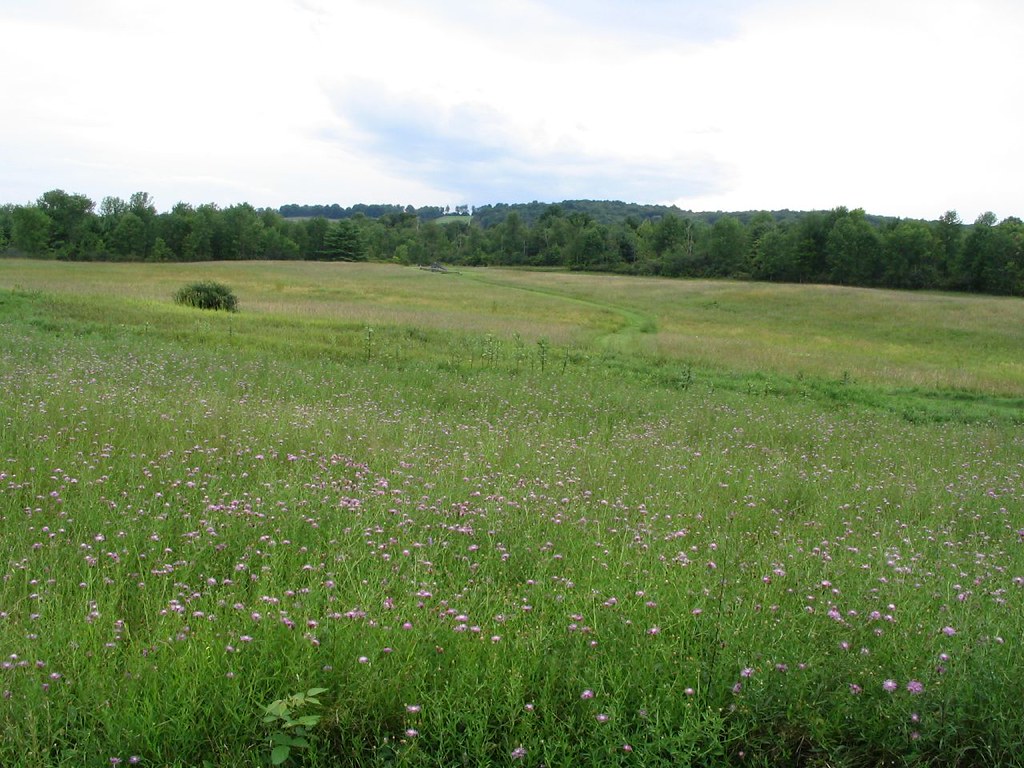 Photo: Ken Lund, CC BY-SA 2.0 (via Flickr)
- 1.5 mi
- round trip
- 103 ft
- climb
- Out and back
- route
- Easy
- difficulty
- Apr, Jun
- best months
Is Stop 4 Trail open right now?
No closures listed
The National Park Service lists no closures for Saratoga National Historical Park.
As of · Source: NPS · Saratoga National Historical Park. Agencies don't list every closure — check before you go.
Stop 4 Trail is a 2.92-mile out-and-back hike in New York with 103 feet of elevation gain. The trail follows an out-and-back route type.
- Nearby · Barber Trail · Five Mile Trail · Champlain Valley Trail (Halfmoon to Schuylerville)
Best time to go · Apr, Jun
Best time to visit Stop 4 Trail
Best months: April, June and August–October. Best months have typical highs of 55–85 °F, lows of 30 °F or warmer (32 °F where the station doesn't record snow), at most one snowy day and no more than 12 wet days.
Jan
32° / 14°
12 wet
Feb
35° / 16°
10 wet
Mar
45° / 25°
11 wet
Apr
60° / 36°
11 wet
May
73° / 47°
13 wet
Jun
80° / 56°
12 wet
Jul
84° / 61°
13 wet
Aug
82° / 59°
11 wet
Sep
75° / 52°
10 wet
Oct
62° / 41°
11 wet
Nov
49° / 31°
12 wet
Dec
37° / 22°
12 wet
Typical high / low (°F) and days with rain or snow, 1991–2020. Measured at Saratoga Springs 4 Sw, NY, 9.6 mi away at 326 ft. We don't have this place's elevation, so higher spots nearby can run cooler. This station doesn't record snowfall. Source: NOAA NCEI U.S. Climate Normals 1991–2020.
Keep exploring — more trails worth the drive
Photo: Ken Lund, CC BY-SA 2.0 (via Flickr)Barber Trail
Next door
Barber Trail is a 0.7-mile out-and-back hike in New York.
 Photo: New York Public Library, No restrictions (via Wikimedia Commons)
Five Mile Trail
~16 min drive
A 5-mile point-to-point trail in New York with moderate terrain.
HIKE
Champlain Valley Trail (Halfmoon to Schuylerville)
~16 min drive
18.76-mile point-to-point trail in New York with 449 ft elevation gain.
Photo: Ken Lund, CC BY-SA 2.0 (via Flickr)Stop 6 Trail
~1 min drive
1.02-mile out-and-back trail in New York managed by the National Park Service.
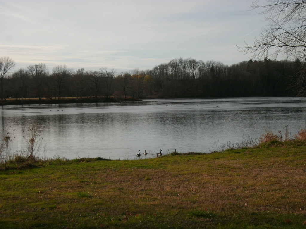 Photo: Dougtone, CC BY-SA 2.0 (via Flickr)
Champlain Valley Trail (Fort Miller to Fort Edward)
~22 min drive
7.43-mile point-to-point trail from Fort Miller to Fort Edward in New York.
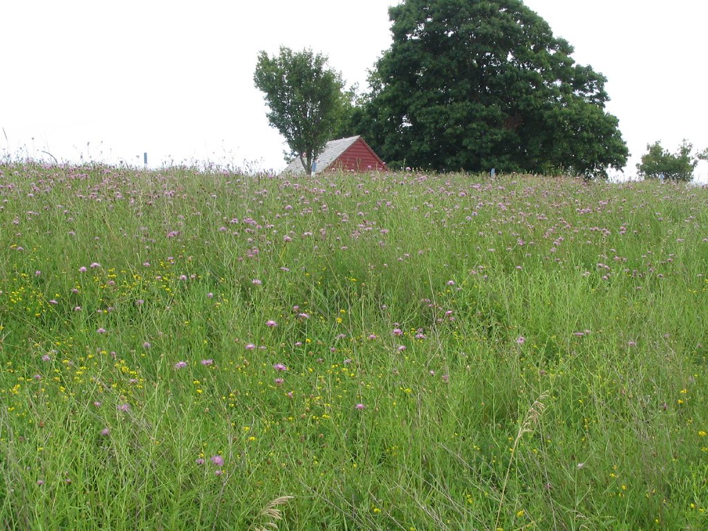 Photo: Ken Lund, CC BY-SA 2.0 (via Flickr)
Wilkinson Trail
~1 min drive
6.68-mile out-and-back hike in New York with 198 ft of elevation gain.
 Photo: PunkToad, CC BY 2.0 (via Flickr)
Champlain Valley Trail (Peebles Island State Park to Halfmoon)
~25 min drive
5.50-mile point-to-point trail in New York with 372 ft gain and 312 ft loss.
Photo: Ken Lund, CC BY-SA 2.0 (via Flickr)Liason Trail
~1 min drive
Liason Trail is a 0.37-mile lollipop trail in New York with 11 feet of elevation gain.
HIKE
Champlain Valley Trail (Schuylerville to Fort Miller)
~14 min drive
6.75-mile point-to-point trail in New York with 389 ft elevation gain
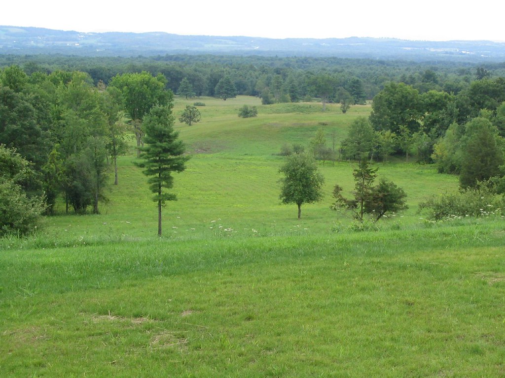 Photo: Ken Lund, CC BY-SA 2.0 (via Flickr)
Horse Trail
~2 min drive
7.56-mile out-and-back trail in New York with 194 ft elevation gain.
