Walt Whitman Trail
- 5.0 mi
- one way
- 468 ft
- climb
- 392 ft
- high point
- Point to point
- route
- Apr–Oct
- best months
The Walt Whitman Trail is a 4.99-mile point-to-point trail in New York with 561 feet of elevation gain and 626 feet of elevation loss. The trail follows a point-to-point route type.
Local outfitters
- Pier 13 Hoboken30 mi away
Not on Roamze yet. Their page has how to reach them.
Conditions and forecast on High Hill
Daily highs and lows, wind and the chance of precipitation at the summit and route start for the next 7 days, from the Open-Meteo model.
- Inner LoopHiking0.3 mi
- Blue Dot TrailHiking0.8 mi
- Lollipop LoopHiking1.1 mi
- Red Dot TrailHiking1.1 mi
- Orange TrailHiking1.3 mi
- Main TrailHiking1.4 mi
- High TrailHiking1.4 mi
- Green Fence TrailHiking1.5 mi
Source: Roamze catalog (indexable pages within 10 miles, PostGIS distance)
 CLIMB Black Trail "Purple Blazes"Hiking · ~4 min drivePhoto: gingi0, CC BY 2.0 (via Flickr)
- Yellow TrailHiking · ~9 min drive
- Old Sierra Club LoopHiking · ~4 min drivePhoto: gingi0, CC BY 2.0 (via Flickr)
 CLIMB Blue TrailHiking · ~4 min drivePhoto: Russ Nelson, CC BY-SA 2.0 (via Flickr)
- CLIMB Black Trail "Orange Blazes"Hiking · ~5 min drivePhoto: Russ Nelson, CC BY-SA 2.0 (via Flickr)
- CLIMB Black Trail "Pink Blazes"Hiking · ~5 min drivePhoto: gingi0, CC BY 2.0 (via Flickr)
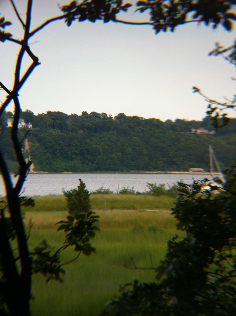 Sagamore Hill Nature TrailHiking · ~11 min drivePhoto: michaelseangallagher, CC BY-SA 2.0 (via Flickr)
- Inner LoopHiking · Next door
- Blue Dot TrailHiking · ~1 min drive
- Blue Dot TrailHiking · ~1 min drive
Best time to visit Walt Whitman Trail
Best months: April–October. Best months have typical highs of 55–85 °F, lows of 30 °F or warmer (32 °F where the station doesn't record snow), at most one snowy day and no more than 12 wet days.
Jan
39° / 25°
10 wet
Feb
41° / 26°
9 wet
Mar
48° / 33°
10 wet
Apr
58° / 42°
11 wet
May
68° / 51°
12 wet
Jun
77° / 61°
11 wet
Jul
83° / 68°
10 wet
Aug
82° / 67°
10 wet
Sep
75° / 60°
8 wet
Oct
64° / 48°
9 wet
Nov
53° / 38°
9 wet
Dec
44° / 31°
11 wet
Typical high / low (°F) and days with rain or snow, 1991–2020. Measured at Farmingdale Ap, NY, 4.8 mi away at 81 ft. This station doesn't record snowfall. Source: NOAA NCEI U.S. Climate Normals 1991–2020.
Route details
- Distance
- 5.0 mi
- Climbing
- About 468 ft
- Summit
- 398 ft
- Difficulty
- Easy
- Time
- About 2 hours
Questions about this route
How long is the Walt Whitman Trail on High Hill?
About 5.0 mi.
How much elevation gain is on the Walt Whitman Trail?
About 468 ft of climbing round trip.
How hard is the Walt Whitman Trail?
It is rated easy.
How long does the Walt Whitman Trail take?
About 2 hours round trip.
Map and trail data © OpenStreetMap contributors
