Red Dot Trail
- 1.9 mi
- loop
- 145 ft
- climb
- 368 ft
- high point
- Loop
- route
- Apr–Oct
- best months
Red Dot Trail is a short, easy hike on County of Suffolk land in New York, about 1.9 miles long with a total elevation gain of 145 feet. The route climbs from about 259 feet to roughly 368 feet, with the steepest part at about 0.11 miles in, where the grade reaches 13 percent. The trail lies on county land, and the OpenStreetMap tags for the area say it is closed to both bikes and horses. For comfortable weather, aim for late spring or early fall. Typical averages from the nearby Farmingdale airport weather station show May highs around 68°F and September highs around 75°F. The station sits well below the trail, so temperatures on the higher ground run cooler. Several other trails start close by. Green Fence Trail and Blue Trail are each about 0.8 miles away, and Walt Whitman Trail is about 1.1 miles off.
Local outfitters
- Pier 13 Hoboken31 mi away
Not on Roamze yet. Their page has how to reach them.
Best time to go · Apr–Oct
Best time to visit Red Dot Trail
Best months: April–October. Best months have typical highs of 55–85 °F, lows of 30 °F or warmer (32 °F where the station doesn't record snow), at most one snowy day and no more than 12 wet days.
Jan
39° / 25°
10 wet
Feb
41° / 26°
9 wet
Mar
48° / 33°
10 wet
Apr
58° / 42°
11 wet
May
68° / 51°
12 wet
Jun
77° / 61°
11 wet
Jul
83° / 68°
10 wet
Aug
82° / 67°
10 wet
Sep
75° / 60°
8 wet
Oct
64° / 48°
9 wet
Nov
53° / 38°
9 wet
Dec
44° / 31°
11 wet
Typical high / low (°F) and days with rain or snow, 1991–2020. Measured at Farmingdale Ap, NY, 5.6 mi away at 81 ft. This station doesn't record snowfall. Source: NOAA NCEI U.S. Climate Normals 1991–2020.
Keep exploring — more trails worth the drive
 Photo: gingi0, CC BY 2.0 (via Flickr)
CLIMB Black Trail "Purple Blazes"
~3 min drive
0.39-mile loop in New York with 42 ft gain and 32 ft loss.
HIKE
Yellow Trail
~8 min drive
Quick point-to-point trail ideal for beginners and families.
 Photo: Russ Nelson, CC BY-SA 2.0 (via Flickr)
CLIMB Blue Trail
~4 min drive
2.18-mile out-and-back trail in New York with 226 ft elevation gain.
Photo: Russ Nelson, CC BY-SA 2.0 (via Flickr)CLIMB Black Trail "Orange Blazes"
~4 min drive
1.32-mile out-and-back trail in New York with 183 ft elevation gain
Photo: gingi0, CC BY 2.0 (via Flickr)Old Sierra Club Loop
~4 min drive
A scenic 1.61-mile point-to-point trail through New York woodlands.
Photo: gingi0, CC BY 2.0 (via Flickr)CLIMB Black Trail "Pink Blazes"
~4 min drive
0.39-mile loop with 42 ft gain and 62 ft loss in New York.
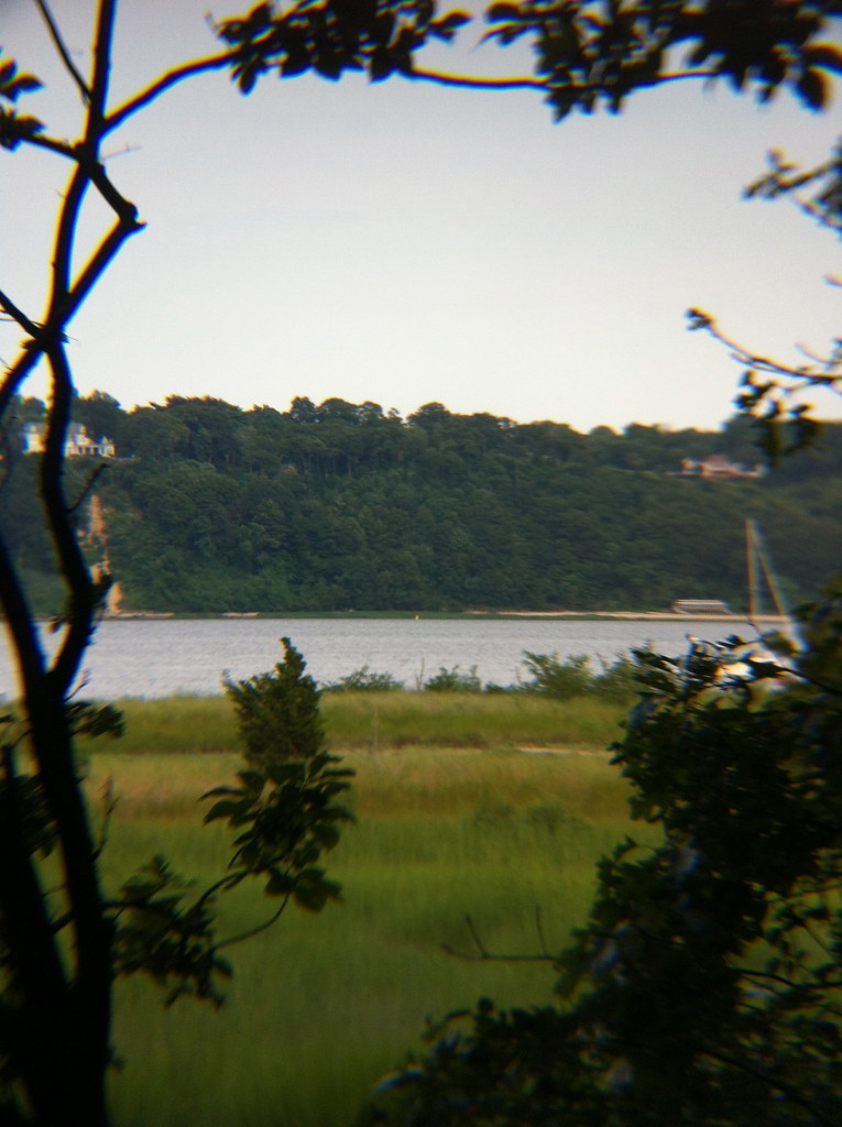 Photo: michaelseangallagher, CC BY-SA 2.0 (via Flickr)
Sagamore Hill Nature Trail
~10 min drive
0.55-mile loop at Sagamore Hill with 202 ft gain and 180 ft loss.
HIKE
Green Fence Trail
~1 min drive
0.39-mile point-to-point trail in New York with 68 ft gain.
HIKE
Blue Trail
~1 min drive
1.39-mile point-to-point trail in New York with 160 ft gain.
HIKE
Alex's Trail
~2 min drive
0.48-mile point-to-point trail in New York with 52 ft gain
Map and trail data © OpenStreetMap contributors
