Upper Sargent Pond Trail
- 1.4 mi
- round trip
- 372 ft
- climb
- 2,003 ft
- high point
- Out and back
- route
Upper Sargent Pond Trail is an easy, out-and-back hike of about 2.7 miles in the Sargent Ponds Wild Forest, a State Department of Conservation unit in New York. It gains about 144 feet one way, with a steeper section around the 1-mile mark, and the high point sits at 2,003 feet. The trail begins near 1,914 feet and reaches a low point of 1,830 feet, so the total climb and descent each add up to about 372 feet. For a short outing, the trip takes roughly an hour, and the trail works well as a quick addition to a day spent exploring the surrounding wild forest. Summer is the most comfortable time to go. Typical averages from a nearby weather station at Big Moose show July highs around 79°F with lows near 54°F. Snow is common from November through April. Within a short drive, the Raquette River offers canoeing about 1.9 miles away. Wilson Pond Trail and Castle Rock Trail lie roughly 4.5 miles off, and Raquette Lake is about 5.2 miles away.
Local outfitters
- Great Camp Sagamore9 mi away
- Cloudsplitter Outfitters22 mi away
Not on Roamze yet. Their page has how to reach them.
 Raquette RiverCanoeingPhoto: Jondude11 at English Wikipedia, CC BY-SA 3.0 (via Wikimedia Commons)1.9 mi
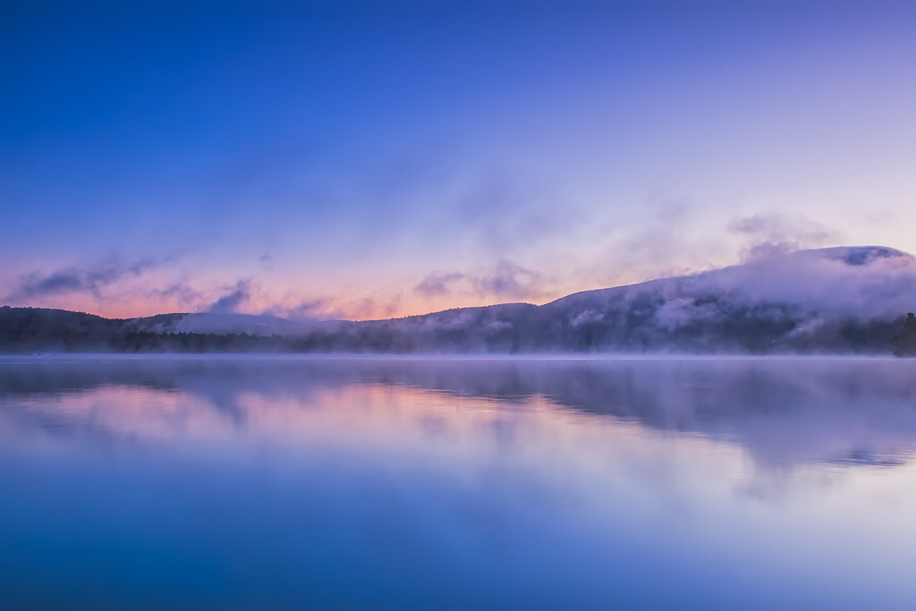 Wilson Pond TrailHikingPhoto: sagesolar, CC BY 2.0 (via Flickr)4.5 mi
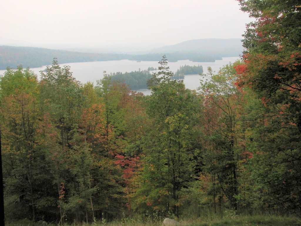 Castle Rock TrailHikingPhoto: bobistraveling, CC BY 2.0 (via Flickr)4.6 mi
- Crossover TrailHiking5.1 mi
- Raquette LakeLake fishing5.2 mi
- Blue Mountain TrailHikingPhoto: bobistraveling, CC BY 2.0 (via Flickr)5.8 mi
- Tirrell Pond TrailHikingPhoto: bobistraveling, CC BY 2.0 (via Flickr)5.8 mi
- SugarloafRock climbing9.8 mi
Source: Roamze catalog (indexable pages within 10 miles, PostGIS distance)
- Wilson Pond TrailHiking · ~8 min drivePhoto: sagesolar, CC BY 2.0 (via Flickr)
- Castle Rock TrailHiking · ~8 min drivePhoto: bobistraveling, CC BY 2.0 (via Flickr)
- Otter Brook TrailHiking · ~27 min drive
- Tirrell Pond TrailHiking · ~10 min drivePhoto: bobistraveling, CC BY 2.0 (via Flickr)
 Dish Rag Pond TrailHiking · ~15 min drivePhoto: ke9tv, CC BY-SA 2.0 (via Flickr)
- Blue Mountain TrailHiking · ~10 min drivePhoto: bobistraveling, CC BY 2.0 (via Flickr)
 Cedar River TrailHiking · ~20 min drivePhoto: Andy Arthur, CC BY 2.0 (via Wikimedia Commons)
 Wakely Mountain TrailHiking · ~19 min drivePhoto: Andy Arthur, CC BY 2.0 (via Wikimedia Commons)
 Black Bear Mountain Trail from Seventh LakeHiking · ~23 min drivePhoto: John Brighenti, CC BY 2.0 (via Flickr)
 Black Bear Mountain TrailHiking · ~25 min drivePhoto: daveynin, CC BY 2.0 (via Flickr)
Best time to visit Upper Sargent Pond Trail
No month here meets our mild-weather rule. Best months have typical highs of 55–85 °F, lows of 30 °F or warmer (32 °F where the station doesn't record snow), at most one snowy day and no more than 12 wet days.
Jan
28° / 7°
20 wet · 14 snow
Feb
31° / 6°
16 wet · 12 snow
Mar
40° / 16°
15 wet · 8 snow
Apr
54° / 29°
14 wet · 3 snow
May
68° / 41°
14 wet
Jun
75° / 50°
14 wet
Jul
79° / 54°
14 wet
Aug
78° / 53°
13 wet
Sep
71° / 46°
13 wet
Oct
58° / 35°
15 wet · 1 snow
Nov
44° / 25°
16 wet · 5 snow
Dec
33° / 14°
19 wet · 12 snow
Typical high / low (°F) and days with rain or snow, 1991–2020. Measured at Big Moose 3 Se, NY, 16.9 mi away at 1,760 ft. Source: NOAA NCEI U.S. Climate Normals 1991–2020.
Map and trail data © OpenStreetMap contributors
