Graymoor Hiker Campsite
Campground
Campground · 5.7 mi from the trail
Switchback is a short, easy hike in New York, on county land in Westchester. The route is a point-to-point trail of about 0.76 miles with a total elevation gain of 130 feet, rising from about 110 feet to around 250 feet. It's an easy outing that can be completed in about half an hour, and the trail is open to both horses and bikes, so it works for riders and riders on horseback. The most comfortable months for a visit are late spring and early fall. Typical averages from a nearby weather station in Shrub Oak show May highs around 71°F and September highs around 75°F, with July the warmest month at about 84°F. The trail sits in a cluster of outdoor spots. Lower Stinger, Stinger and Rocky Glen Pond are all about 0.1 mile away, and Blue Mountain Park is about 0.2 mile off. Paddlers can reach the Croton River, roughly 4.8 miles away.
Graymoor Hiker Campsite
Campground
 If it rainsDaniel Case, CC BY-SA 3.0 · Wikimedia Commons
American Revolutionary War fort near West Point on the Hudson River
Places © OpenStreetMap contributors · Photos: Daniel Case, CC BY-SA 3.0 (commons)
More in Mount KiscoNot on Roamze yet. Their page has how to reach them.
Best months: April–October. Best months have typical highs of 55–85 °F, lows of 30 °F or warmer (32 °F where the station doesn't record snow), at most one snowy day and no more than 12 wet days.
Jan
37° / 17°
Feb
39° / 20°
Mar
48° / 26°
Apr
60° / 36°
May
71° / 47°
Jun
79° / 56°
Jul
84° / 61°
Aug
83° / 60°
Sep
75° / 52°
Oct
64° / 41°
Nov
52° / 31°
Dec
41° / 24°
Typical high / low (°F) and days with rain or snow, 1991–2020. Measured at Shrub Oak, NY, 6.2 mi away at 462 ft. This station doesn't record snowfall. Source: NOAA NCEI U.S. Climate Normals 1991–2020.
 Photo: Bryan Pocius, CC BY 2.0 (via Flickr)
Riverwalk
~3 min drive
Easy riverside out-and-back walk with minimal elevation gain.
 Photo: Original uploader was CharlesHBennett at en.wikipedia, CC BY 3.0 (via Wikimedia Commons)
Fire Tower Trail
~6 min drive
4.32-mile out-and-back hike in New York with 1,328 ft of elevation gain
Photo: Original uploader was CharlesHBennett at en.wikipedia, CC BY 3.0 (via Wikimedia Commons)Valeria Loop
~4 min drive
2.42-mile out-and-back trail in New York with 643 ft elevation gain
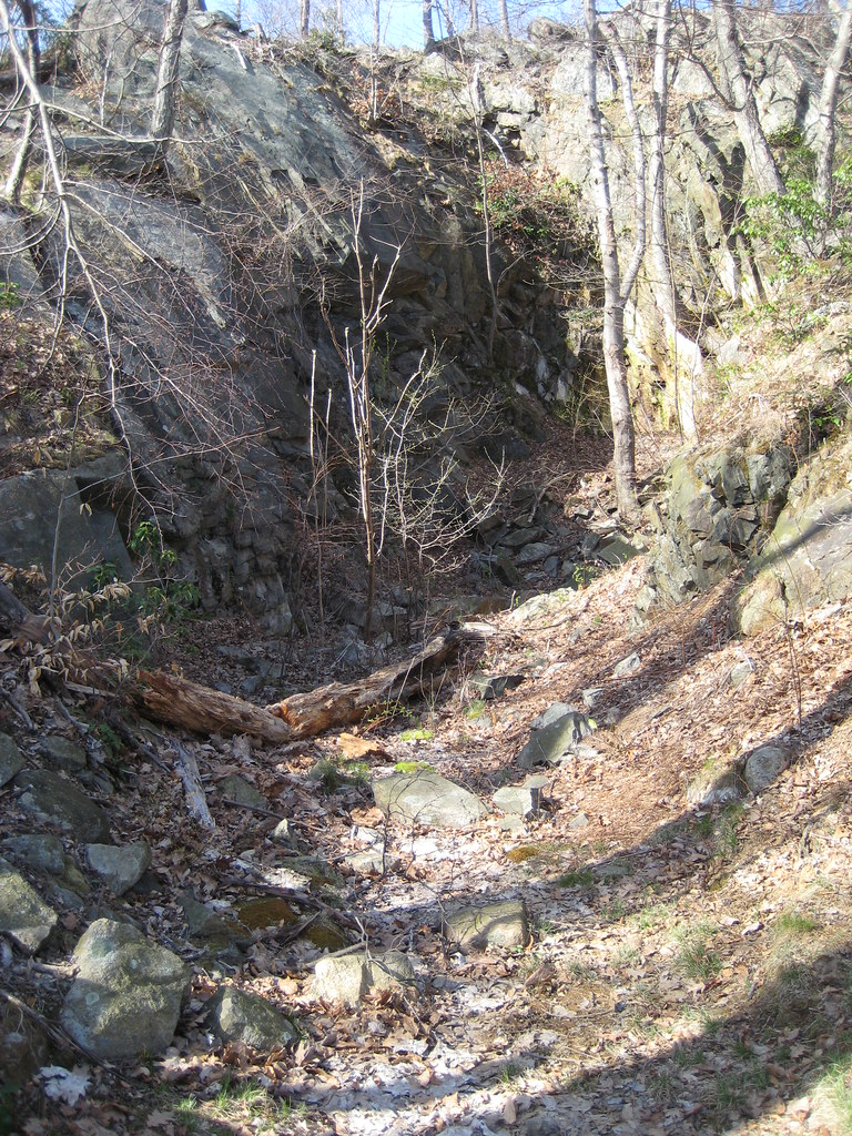 Photo: Russ Nelson, CC BY-SA 2.0 (via Flickr)
1777 Trail
~7 min drive
2.86-mile point-to-point trail in New York with 1,543 ft elevation loss
 Photo: Magicpiano, CC BY-SA 4.0 (via Wikimedia Commons)
Highland Trail
~6 min drive
Scenic point-to-point highland hike with elevated views.
HIKE
Stinger
Next door
Quick 1.6-mile point-to-point trail in New York.
Photo: Original uploader was CharlesHBennett at en.wikipedia, CC BY 3.0 (via Wikimedia Commons)Richards Way
~6 min drive
1.18-mile out-and-back trail in New York with 413 ft gain
HIKE
Bailey's
~1 min drive
Quick point-to-point trail in Bailey's, New York.
 Photo: Russ Nelson, CC BY-SA 2.0 (via Flickr)
Jones Trail
~6 min drive
Jones Trail is a 1.02-mile point-to-point trail in New York with 350 feet of elevation gain.
HIKE
Blue Mountain Summit Trail
~1 min drive
0.51-mile point-to-point trail in New York with 183 ft gain.
Map and trail data © OpenStreetMap contributors
