Sunrise
- 0.5 mi
- round trip
- 334 ft
- climb
- 2,560 ft
- high point
- Out and back
- route
- Sep
- best months
Sunrise is an easy out-and-back hike in New York, about half a mile from the community of Frost Valley. The route is roughly a mile long, with a total climb of 334 feet to reach a high point of 2,560 feet. Summer is the most comfortable time to go. Typical averages from a nearby weather station at Slide Mtn show July highs around 74°F with lows near 56°F, while September cools to highs around 67°F. The trail starts at about 2,427 feet, and the steepest stretch comes in the first quarter of the route at about 18%. The trip takes about half an hour, so it fits easily into a day of exploring the surrounding area. Line Shack and Rocky Road both sit about 0.2 miles away, and Fir Herd Path is about 2 miles off. For an overnight stay, the Primitive Campsite lies roughly 5 miles away.
Local outfitters
- Catskill Outfitters12 mi away
Not on Roamze yet. Their page has how to reach them.
Best time to go · Sep
Best time to visit Sunrise
Best months: September. Best months have typical highs of 55–85 °F, lows of 30 °F or warmer (32 °F where the station doesn't record snow), at most one snowy day and no more than 12 wet days.
Jan
28° / 12°
16 wet
Feb
30° / 13°
14 wet
Mar
38° / 20°
15 wet
Apr
51° / 31°
13 wet
May
62° / 43°
15 wet
Jun
69° / 51°
14 wet
Jul
74° / 56°
13 wet
Aug
73° / 54°
13 wet
Sep
67° / 48°
12 wet
Oct
55° / 38°
14 wet
Nov
43° / 28°
13 wet
Dec
32° / 19°
16 wet
Typical high / low (°F) and days with rain or snow, 1991–2020. Measured at Slide Mtn, NY, 5.3 mi away at 2,650 ft. This station doesn't record snowfall. Source: NOAA NCEI U.S. Climate Normals 1991–2020.
Keep exploring — more trails worth the drive
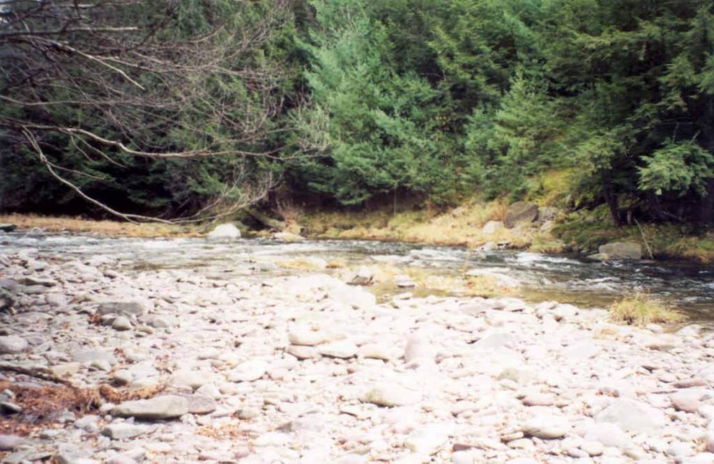 Photo: tedkerwin, CC BY 2.0 (via Flickr)
Red Hill Fire Tower Trail
~7 min drive
1.80-mile point-to-point hike in New York with 1,398 ft elevation gain
 Photo: daveclausen, CC BY 2.0 (via Flickr)
Phoenicia - East Branch Trail
~7 min drive
Point-to-point Catskills creek walk with forest and mountain views.
 Photo: cm195902, CC BY 2.0 (via Flickr)
Dry Brook Ridge Trail
~9 min drive
23.96-mile out-and-back trail in New York with 5,199 ft elevation gain/loss
Photo: cm195902, CC BY 2.0 (via Flickr)Graham Mountain Herd Path
~9 min drive
1.93-mile out-and-back trail in New York with 838 ft gain
 Photo: Daniel Case, CC BY-SA 3.0 (via Wikimedia Commons)
Dinch Road Connector Trail
~7 min drive
0.72-mile point-to-point trail in New York with 84 ft gain.
 Photo: Russ Nelson, CC BY-SA 2.0 (via Flickr)
Lost Clove Trail
~15 min drive
1.26-mile point-to-point trail in New York with 1,400 ft elevation loss
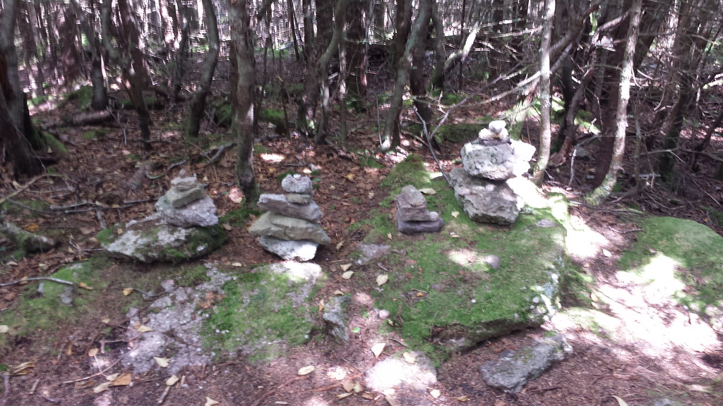 Photo: ke9tv, CC BY-SA 2.0 (via Flickr)
Fisherman's Path - Lone Herd Path
~11 min drive
2.24-mile out-and-back trail in New York with 1,339 ft elevation gain
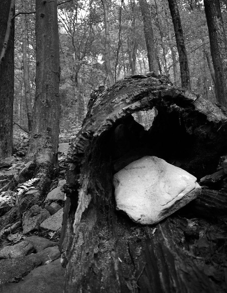 Photo: GRI SHA, CC BY-SA 2.0 (via Flickr)
Giant Ledge - Panther - Fox Hollow Trail
~12 min drive
6.84-mile point-to-point trail in New York with 1,431 ft gain.
HIKE
Oliverea-Mapledale Trail - red
~10 min drive
5.74-mile out-and-back trail in New York with 2,657 ft elevation gain
Photo: ke9tv, CC BY-SA 2.0 (via Flickr)Lone-Rocky Herd Path
~11 min drive
2.04-mile out-and-back trail in New York with 790 ft gain and 3,707 ft max elevation.


Map and trail data © OpenStreetMap contributors
