Stonewall Trail
- 3.1 mi
- loop
- 396 ft
- climb
- 870 ft
- high point
- Loop
- route
- May–Oct
- best months
Stonewall Trail is a 3.1-mile loop in Moreau Lake State Park in New York, managed by State Park and Recreation. The trail is rated easy, with a total elevation gain of 396 feet and a total loss of 759 feet over the course of the loop. The steepest part comes at about 2 miles in, where the grade reaches 17 percent. Summer is the most comfortable time to go. Typical averages from the nearby Conklingville Dam weather station show July highs around 77°F with lows near 60°F, while winter brings highs in the 20s and regular snow days from December through February. Several other trails and climbing areas sit within a short drive. Fresh Wall, Spier Falls Area is about a mile away, and the Western Ridge Trail and Waterfall Trail (Blue) are each about 1.3 miles off. The Moreau Area climbing area is roughly 1.9 miles away.
Best time to go · May–Oct
Best time to visit Stonewall Trail
Best months: May–October. Best months have typical highs of 55–85 °F, lows of 30 °F or warmer (32 °F where the station doesn't record snow), at most one snowy day and no more than 12 wet days.
Jan
28° / 12°
12 wet · 7 snow
Feb
32° / 13°
10 wet · 6 snow
Mar
40° / 22°
11 wet · 4 snow
Apr
53° / 34°
10 wet · 1 snow
May
65° / 46°
11 wet
Jun
73° / 55°
10 wet
Jul
77° / 60°
10 wet
Aug
76° / 59°
9 wet
Sep
69° / 51°
8 wet
Oct
57° / 40°
10 wet
Nov
45° / 31°
10 wet · 2 snow
Dec
34° / 21°
12 wet · 5 snow
Typical high / low (°F) and days with rain or snow, 1991–2020. Measured at Conklingville Dam, NY, 9.5 mi away at 808 ft. Source: NOAA NCEI U.S. Climate Normals 1991–2020.
Keep exploring — more trails worth the drive
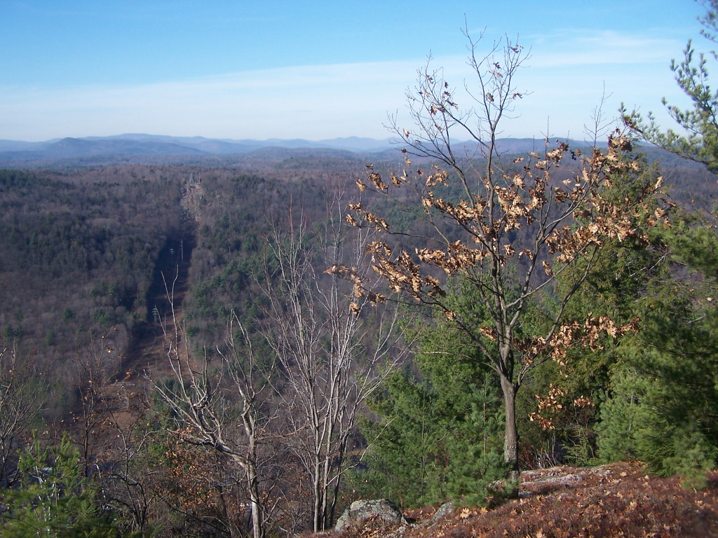 Photo: andyarthur, CC BY 2.0 (via Flickr)
Waterfall Trail (Blue)
~2 min drive
1.10-mile out-and-back trail in New York with 548 ft elevation gain.
 Photo: Doug Kerr from Albany, NY, United States, CC BY-SA 2.0 (via Wikimedia Commons)
Western Ridge Trail
~2 min drive
Scenic 5-mile point-to-point ridge hike in New York.
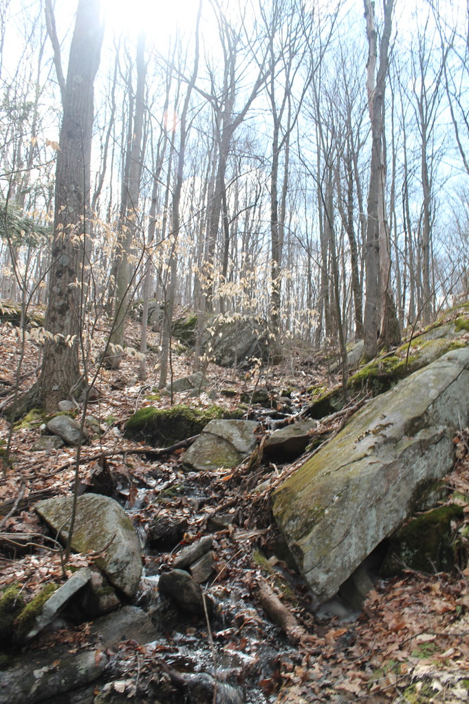 Photo: andyarthur, CC BY 2.0 (via Flickr)
Old Moreau Overlook Trail
~4 min drive
0.37-mile point-to-point trail in New York with 204 ft elevation loss
Photo: Doug Kerr from Albany, NY, United States, CC BY-SA 2.0 (via Wikimedia Commons)Eastern Ridge Trail
~2 min drive
Point-to-point ridge trail with scenic views across 2.06 miles.
Photo: andyarthur, CC BY 2.0 (via Flickr)Baker Trail
~4 min drive
0.89-mile point-to-point trail in New York with 503 ft gain
Photo: Doug Kerr from Albany, NY, United States, CC BY-SA 2.0 (via Wikimedia Commons)Old Trail
~2 min drive
0.70-mile out-and-back trail in New York with 445 ft elevation gain.
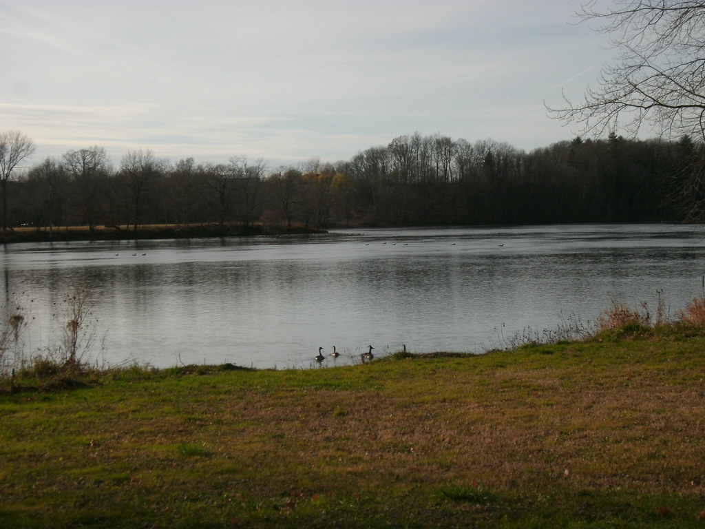 Photo: Dougtone, CC BY-SA 2.0 (via Flickr)
Champlain Valley Trail (Fort Miller to Fort Edward)
~18 min drive
7.43-mile point-to-point trail from Fort Miller to Fort Edward in New York.
 Photo: andyarthur, CC BY 2.0 (via Flickr)
Cottage Park Trail
~3 min drive
A 2.4-mile point-to-point trail through Cottage Park in New York.
 Photo: andyarthur, CC BY 2.0 (via Flickr)
Hadley Mountain Trail
~22 min drive
3.1-mile out-and-back trail in New York with 1,510 ft elevation gain.
Photo: andyarthur, CC BY 2.0 (via Flickr)White Birch Trail
~3 min drive
0.67-mile point-to-point trail in New York with 178 ft gain
Map and trail data © OpenStreetMap contributors
