Powerline Trail
 Photo: javajoe6, CC BY-SA 3.0 (via Wikimedia Commons)
- 1.0 mi
- one way
- 155 ft
- climb
- 1,074 ft
- high point
- Point to point
- route
- Jun–Sep
- best months
Powerline Trail is a short, easy hike in Letchworth State Park in New York, managed by State Park and Recreation. The trail is about a mile long, with a total elevation gain of 155 feet, and it is rated easy. The route is a point-to-point trail that starts at about 950 feet and reaches a high point of 1,074 feet. The climb is front-loaded, with the steepest stretch at about 0.68 miles in, where the grade reaches 23 percent. The trail also has a small drop of about 160 feet at the end. Summer is the most comfortable time to go. Typical averages from a nearby weather station show July highs around 81°F with lows near 60°F, while winter highs stay in the low 30s. Several other trails sit close by. Bear Hollow Trail is about 0.9 miles away, Kisil Point Trail is about 1.1 miles away, and Gibsonville Trail and Chipmunk Trail are each about 1.2 miles away.
Best time to go · Jun–Sep
Best time to visit Powerline Trail
Best months: June–September. Best months have typical highs of 55–85 °F, lows of 30 °F or warmer (32 °F where the station doesn't record snow), at most one snowy day and no more than 12 wet days.
Jan
31° / 15°
15 wet
Feb
34° / 17°
12 wet
Mar
42° / 24°
12 wet
Apr
56° / 35°
13 wet
May
69° / 47°
13 wet
Jun
77° / 56°
12 wet
Jul
81° / 60°
12 wet
Aug
79° / 58°
11 wet
Sep
73° / 51°
11 wet
Oct
60° / 41°
13 wet
Nov
48° / 32°
12 wet
Dec
37° / 23°
14 wet
Typical high / low (°F) and days with rain or snow, 1991–2020. Measured at Mt Morris 2 W, NY, 3.5 mi away at 880 ft. This station doesn't record snowfall. Source: NOAA NCEI U.S. Climate Normals 1991–2020.
Keep exploring — more trails worth the drive
 Photo: javajoe6, CC BY-SA 3.0 (via Wikimedia Commons)
Bear Hollow Trail
~2 min drive
2.0-mile out-and-back trail in New York with 363 ft elevation gain.
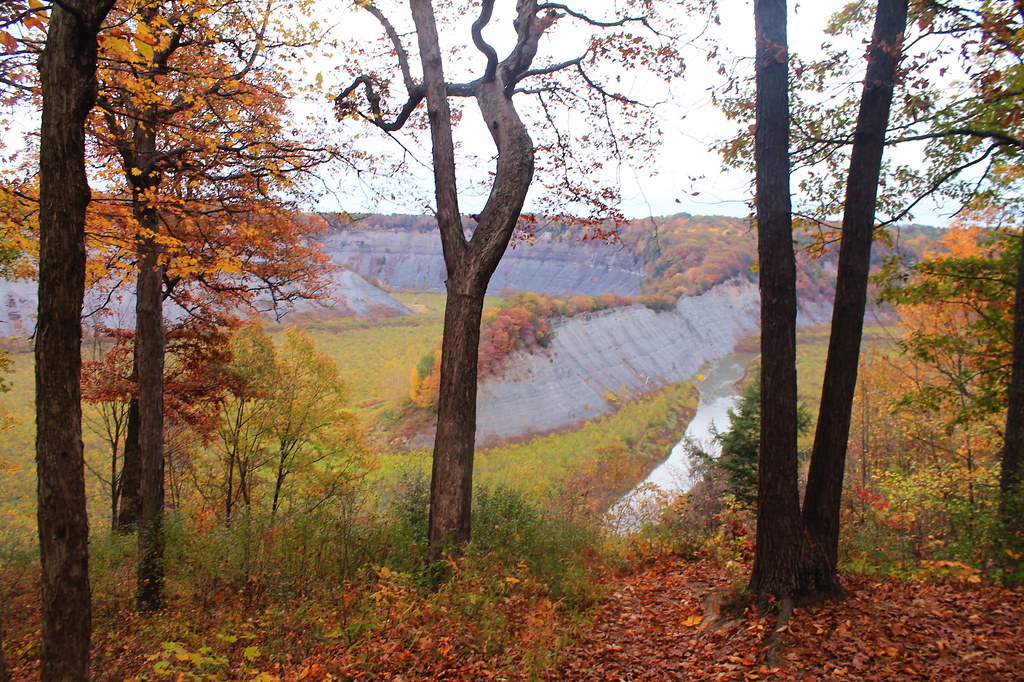 Photo: andyarthur, CC BY 2.0 (via Flickr)
Kisil Point Trail
~2 min drive
2.14-mile out-and-back hike in New York with 952 ft gain/loss
HIKE
Groveland Secondary Trail
~19 min drive
21.56-mile out-and-back trail in New York with 783 ft elevation gain
 Photo: javajoe6, CC BY-SA 3.0 (via Wikimedia Commons)
Bear Hollow Trail
~2 min drive
0.37-mile out-and-back trail in New York with 50 ft of elevation gain.
Photo: javajoe6, CC BY-SA 3.0 (via Wikimedia Commons)Smokey Hollow Trail
~4 min drive
2.42-mile point-to-point trail in New York with 811 ft elevation gain
HIKE
Groveland Secondary Trail
~33 min drive
18.64-mile out-and-back trail in New York with 873 ft elevation gain
Photo: javajoe6, CC BY-SA 3.0 (via Wikimedia Commons)Chipmunk Trail
~2 min drive
0.69-mile point-to-point trail in New York with 245 ft gain
HIKE
Genesee Valley Conservancy Trail
~23 min drive
6.3-mile out-and-back hike in New York with 289 ft elevation gain
Photo: javajoe6, CC BY-SA 3.0 (via Wikimedia Commons)Gibsonville Trail
~2 min drive
Gibsonville Trail is a 0.95-mile point-to-point trail in New York with 248 ft of elevation gain.
Photo: javajoe6, CC BY-SA 3.0 (via Wikimedia Commons)Big Flats Trail
~2 min drive
1.19-mile point-to-point trail in New York with 467 ft gain

Map and trail data © OpenStreetMap contributors
