Camp Winonah
Campground
Campground · 5.3 mi from the trail
 Photo: rpkelly22, CC BY-SA 2.0 (via Flickr)
Pine Meadow is a short, easy hike in Sterling Forest State Park in New York, managed by State Park and Recreation. The route is about 0.3 miles long, with a low point of 869 feet and a high of 999 feet. It's a point-to-point trail, and the climb is gentle, with a total gain of 113 feet and a steepest stretch of about 10% grade near the start. Late spring and early fall are the most comfortable times to go. Typical averages from a nearby weather station show May highs around 70°F and September highs around 75°F, with July the warmest month at about 83°F. Pine Meadown Trail lies about 0.3 miles away, and Lakeville Ironworks Trail and Mckeags Meadow are each within a mile. For climbing, Swamp Boulder is about 5.7 miles off.
Camp Winonah
Campground
 If it rainsDoug Kerr from Albany, NY, United States, CC BY-SA 2.0 · Wikimedia Commons
Open-air museum and sculpture park located in Mountainville, New York
Places © OpenStreetMap contributors · Photos: Doug Kerr from Albany, NY, United States, CC BY-SA 2.0 (commons)
More in New WindsorNot on Roamze yet. Their page has how to reach them.
Best months: April–October. Best months have typical highs of 55–85 °F, lows of 30 °F or warmer (32 °F where the station doesn't record snow), at most one snowy day and no more than 12 wet days.
Jan
36° / 19°
11 wet
Feb
39° / 19°
9 wet
Mar
47° / 27°
11 wet
Apr
59° / 38°
11 wet
May
70° / 48°
11 wet
Jun
78° / 57°
11 wet
Jul
83° / 61°
10 wet
Aug
81° / 59°
9 wet
Sep
75° / 52°
8 wet
Oct
63° / 41°
9 wet
Nov
51° / 32°
8 wet
Dec
41° / 25°
10 wet
Typical high / low (°F) and days with rain or snow, 1991–2020. Measured at Charlotteburg Rsvr, NJ, 15.1 mi away at 778 ft. This station doesn't record snowfall. Source: NOAA NCEI U.S. Climate Normals 1991–2020.
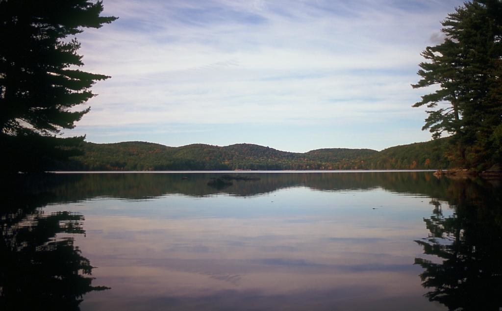 Photo: rpkelly22, CC BY-SA 2.0 (via Flickr)
Pine Meadow
Next door
7.49-mile out-and-back trail in New York State Park and Recreation land.
Photo: rpkelly22, CC BY-SA 2.0 (via Flickr)Sterling Lake Loop
~1 min drive
0.40-mile out-and-back out-and-back at Sterling Lake in New York with 90 ft of elevation gain.
 Photo: History tower, CC BY-SA 3.0 (via Wikimedia Commons)
Fire Tower Connector Trail
~2 min drive
0.47-mile point-to-point trail in New York with 235 ft elevation loss.
 Photo: rpkelly22, CC BY-SA 2.0 (via Flickr)
Bare Rock Trail
~2 min drive
Point-to-point NY trail featuring exposed rock outcrops and scenic vistas.
HIKE
Red Back
~4 min drive
Red Back is a 5.52-mile out-and-back trail in New York with 1,797 ft of elevation gain.
Photo: rpkelly22, CC BY-SA 2.0 (via Flickr)Lakeville Ironworks Trail
~1 min drive
0.44-mile point-to-point trail in New York with 286 ft of elevation gain
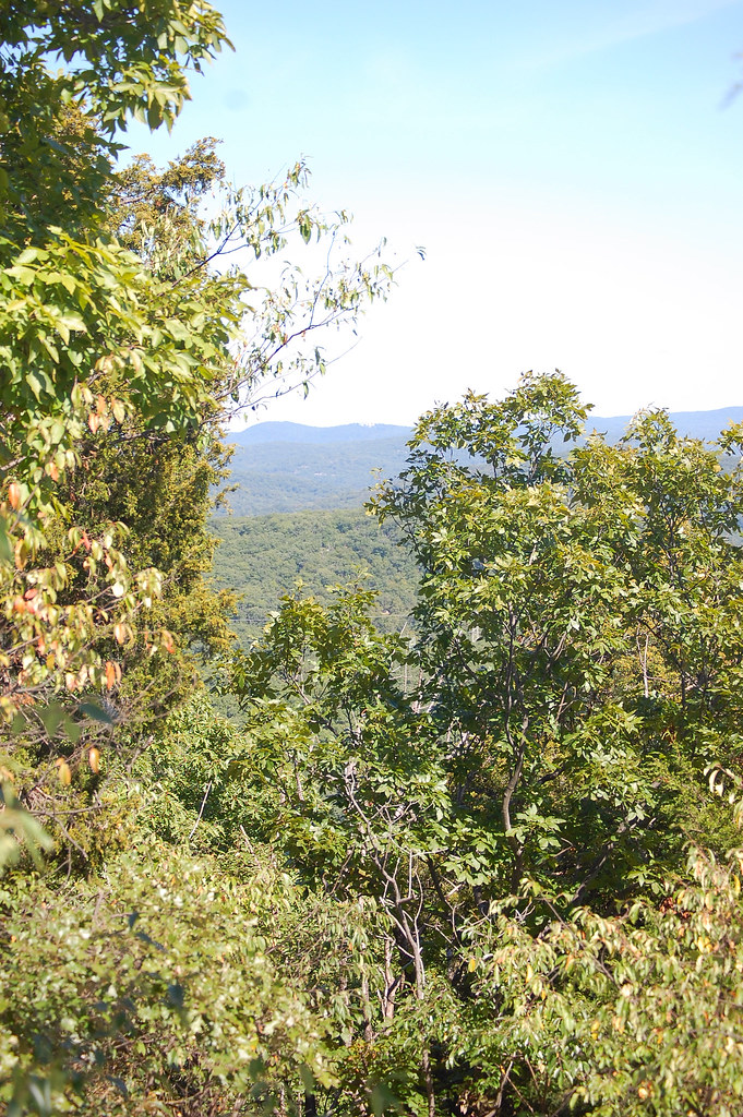 Photo: LukeGordon1, CC BY 2.0 (via Flickr)
Sterling Valley Loop
~3 min drive
Sterling Valley Loop is a 4.90-mile out-and-back trail in New York with 805 feet of elevation gain.
 Photo: Zeete, CC BY-SA 4.0 (via Wikimedia Commons)
Sterling Ridge
~3 min drive
5.83-mile out-and-back trail in New York with 769 ft elevation gain.
HIKE
Ramapo Dunderberg Trail
~6 min drive
Challenging 15-mile point-to-point ridge hike through New York's Ramapo Mountains.
Photo: rpkelly22, CC BY-SA 2.0 (via Flickr)Mckeags Meadow
~1 min drive
0.50-mile point-to-point trail in New York with 194 ft gain.
Map and trail data © OpenStreetMap contributors

