Orange Trail
- 1.4 mi
- loop
- 43 ft
- climb
- 364 ft
- high point
- Loop
- route
- Jun–Sep
- best months
Orange Trail is a short, easy loop in the Town of Webster Land in New York, on city-managed land about 1.4 miles long. The trail rises from about 356 feet to 364 feet, with a total elevation gain of 43 feet, and the steepest stretch comes at about 1.3 miles in, where the grade reaches 10 percent. Bikes are allowed on the trail, but horses are not. Summer is the most comfortable time to go. Typical averages from a nearby weather station in Webster show July highs around 81°F with lows near 61°F, while winter brings frequent snow days and January highs around 34°F. The trail sits among a network of colored routes. Black Trail and Blue Trail are each about 0.1 mile away, and Yellow Trail and Red Trail are about 0.3 mile away.
- Black TrailHiking0.1 mi
- Blue TrailHiking0.1 mi
- Yellow TrailHiking0.3 mi
- Brown TrailHiking0.3 mi
 Red TrailHikingPhoto: daveynin, CC BY 2.0 (via Flickr)0.3 mi
- Pink TrailHikingPhoto: daveynin, CC BY 2.0 (via Flickr)0.4 mi
- Green TrailHiking0.4 mi
- West Loop TrailHiking0.7 mi
Source: Roamze catalog (indexable pages within 10 miles, PostGIS distance)
- Red TrailHiking · Next doorPhoto: daveynin, CC BY 2.0 (via Flickr)
 Butler's Gap TrailHiking · ~12 min drivePhoto: PLeia2, CC BY 2.0 (via Flickr)
- Pink TrailHiking · Next doorPhoto: daveynin, CC BY 2.0 (via Flickr)
 Coyote Den TrailHiking · ~12 min drivePhoto: seabamirum, CC BY 2.0 (via Flickr)
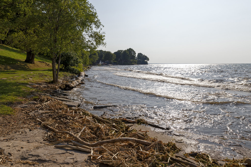 Ridge TrailHiking · ~2 min drivePhoto: luckyanddancing, CC BY 2.0 (via Flickr)
- Yellow TrailHiking · Next door
- Ryan's Point TrailHiking · ~2 min drivePhoto: luckyanddancing, CC BY 2.0 (via Flickr)
- Philbrick Park TrailHiking · ~14 min drive
- Orchard TrailHiking · ~2 min drivePhoto: luckyanddancing, CC BY 2.0 (via Flickr)
 Eastman Lake TrailHiking · ~8 min drivePhoto: vwcampin, CC BY 2.0 (via Flickr)
Best time to visit Orange Trail
Best months: June–September. Best months have typical highs of 55–85 °F, lows of 30 °F or warmer (32 °F where the station doesn't record snow), at most one snowy day and no more than 12 wet days.
Jan
34° / 17°
19 wet · 16 snow
Feb
36° / 18°
17 wet · 14 snow
Mar
44° / 25°
15 wet · 9 snow
Apr
56° / 35°
15 wet · 3 snow
May
68° / 47°
14 wet
Jun
77° / 56°
12 wet
Jul
81° / 61°
11 wet
Aug
80° / 61°
12 wet
Sep
73° / 53°
12 wet
Oct
61° / 42°
16 wet · 1 snow
Nov
49° / 32°
16 wet · 5 snow
Dec
39° / 24°
19 wet · 12 snow
Typical high / low (°F) and days with rain or snow, 1991–2020. Measured at Webster 2 Ne, NY, 4.2 mi away at 275 ft. Source: NOAA NCEI U.S. Climate Normals 1991–2020.
Map and trail data © OpenStreetMap contributors
