Newtonbrook Creek Pathway
- 0.5 mi
- round trip
- 134 ft
- climb
- 471 ft
- high point
- Out and back
- route
- Jun–Sep
- best months
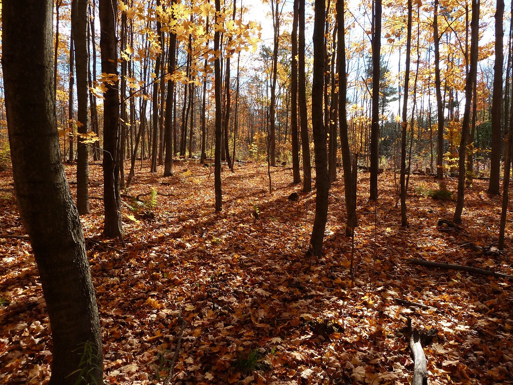
Newtonbrook Creek Pathway is a short, easy hike in New York, about 39 miles from Fort Niagara Beach. The route is an out-and-back that covers roughly a mile, with a total climb of about 134 feet and a steepest stretch of about 9% at around 0.4 miles in. The path is rated easy, and the one-way elevation gain is about 36 feet. Summer is the most comfortable time to go. Typical averages from a nearby weather station show July highs around 83°F with lows near 62°F, while winter highs stay in the mid-30s. Mountain bikers will find several trails within about 3 miles, including Stage One, Dawg Leash, Dante's trail and Rock Garden.
- Stage OneMountain biking2.9 mi
- Dawg LeashMountain biking2.9 mi
- Dante's trailMountain biking2.9 mi
- Portuguese LunchboxMountain biking3 mi
- J-TrainMountain biking3 mi
- Rock GardenMountain biking3 mi
- MuddMountain biking3 mi
- GrasslandMountain biking3 mi
Source: Roamze catalog (indexable pages within 10 miles, PostGIS distance)
 Grapes of WrathHiking · ~11 min drivePhoto: Ryan from Toronto, Canada, CC BY 2.0 (via Wikimedia Commons)
 East Point Park TrailHiking · ~20 min drivePhoto: JordanEightySeven, CC BY-SA 2.0 (via Flickr)
 Etobicoke Creek TrailHiking · ~27 min drivePhoto: Arbron, CC BY 2.0 (via Flickr)
- Rouge Valley TrailHiking · ~14 min drive
 Claireville North Multi-Use TrailHiking · ~27 min drivePhoto: Ken Mist from Brampton, Canada, CC BY 2.0 (via Wikimedia Commons)
- Humber Valley Heritage Trail - Bolton ChapterHiking · ~33 min drive
- Seaton Hiking TrailHiking · ~23 min drive
 Unsanctioned TrailHiking · ~34 min drivePhoto: MichaelTutton, CC BY 2.0 (via Flickr)
- Huntington TrailHiking · ~6 min drive
- Huntington TrailHiking · ~7 min drive
Also worth it near here
- Dawg LeashMountain biking · ~5 min drive
- Camp ChimoCamping · ~13 min drive
 Kew BeachBeach · ~15 min drivePhoto: Kevin Cabral from Toronto, Canada, CC BY 2.0 (via Wikimedia Commons)
 Scarborough BluffsSummit · ~15 min drivePhoto: Dillan Payne, CC BY-SA 4.0 (via Wikimedia Commons)
- Victoria FallsWaterfall · ~16 min drive
Best time to visit Newtonbrook Creek Pathway
Best months: June–September. Best months have typical highs of 55–85 °F, lows of 30 °F or warmer (32 °F where the station doesn't record snow), at most one snowy day and no more than 12 wet days.
Jan
34° / 19°
18 wet
Feb
35° / 19°
15 wet
Mar
43° / 25°
13 wet
Apr
55° / 35°
14 wet
May
68° / 46°
14 wet
Jun
77° / 57°
12 wet
Jul
83° / 62°
11 wet
Aug
81° / 61°
12 wet
Sep
74° / 54°
12 wet
Oct
61° / 44°
17 wet
Nov
50° / 34°
15 wet
Dec
39° / 26°
16 wet
Typical high / low (°F) and days with rain or snow, 1991–2020. Measured at Youngstown 2 E, NY, 41 mi away at 295 ft. This station doesn't record snowfall. Source: NOAA NCEI U.S. Climate Normals 1991–2020.
Map and trail data © OpenStreetMap contributors
