Monarch Trail
- 0.3 mi
- round trip
- 73 ft
- climb
- 607 ft
- high point
- Out and back
- route
- Jun–Sep
- best months
Monarch Trail is a short, easy out-and-back hike in New York, about 0.6 miles long. It rises to a high point of 607 feet from a low of 563 feet, with a total elevation gain of about 73 feet across the round trip. The trail is back-loaded, meaning the climb comes at the end, and the steepest stretch is about 0.09 miles in, with a grade of around 3%. For timing, summer is the most comfortable season. Typical averages from a nearby weather station show July highs around 83°F with lows near 62°F, while winter highs sit in the low to mid 30s. The closest town is Uneeda Beach, about 42 miles away. Reesor Way is about a mile off, and the Seaton Hiking Trail and Rouge Valley Trail are within 4 miles. The Waterfront Trail is roughly 6 miles away.
- Reesor WayHiking1.1 mi
- Seaton Hiking TrailHiking2.4 mi
- Rouge Valley TrailHiking4 mi
- Waterfront TrailHiking5.8 mi
- Forest Therapy TrailHiking6.9 mi
 East Point Park TrailHikingPhoto: JordanEightySeven, CC BY-SA 2.0 (via Flickr)7.6 mi
- Cedar Ridge SwitchbacksHiking7.6 mi
- Sylvan Park LoopHiking9.6 mi
Source: Roamze catalog (indexable pages within 10 miles, PostGIS distance)
- East Point Park TrailHiking · ~13 min drivePhoto: JordanEightySeven, CC BY-SA 2.0 (via Flickr)
 Grapes of WrathHiking · ~27 min drivePhoto: Ryan from Toronto, Canada, CC BY 2.0 (via Wikimedia Commons)
 Springbank TrailHiking · ~19 min drivePhoto: Sikander Iqbal, CC BY-SA 4.0 (via Wikimedia Commons)
- Seaton Hiking TrailHiking · ~4 min drive
 Springbank TrailHiking · ~19 min drivePhoto: Camera Eye Photography, CC BY 2.0 (via Flickr)
- Rouge Valley TrailHiking · ~7 min drive
- Devil's Den TrailHiking · ~19 min drivePhoto: Camera Eye Photography, CC BY 2.0 (via Flickr)
- Railway TrailHiking · ~20 min drivePhoto: Sikander Iqbal, CC BY-SA 4.0 (via Wikimedia Commons)
- Railway TrailHiking · ~20 min drivePhoto: Sikander Iqbal, CC BY-SA 4.0 (via Wikimedia Commons)
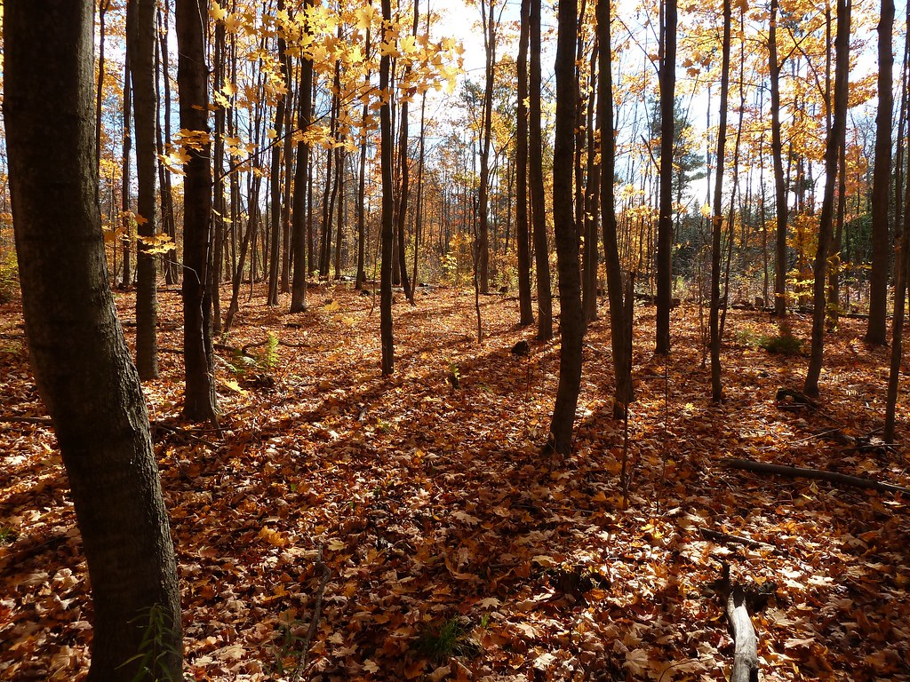 Unsanctioned TrailHiking · ~25 min drivePhoto: MichaelTutton, CC BY 2.0 (via Flickr)
Also worth it near here
- Camp ChimoCamping · ~8 min drive
- Rouge RiverCanoeing · ~9 min drive
- Kayak launch spotBoat launch · ~11 min drive
 Frenchman's Bay East beachBeach · ~12 min drivePhoto: JasonParis from Toronto, Canada, CC BY 2.0 (via Wikimedia Commons)
 Heise HillSummit · ~17 min drivePhoto: JFVoll, CC BY-SA 4.0 (via Wikimedia Commons)
Best time to visit Monarch Trail
Best months: June–September. Best months have typical highs of 55–85 °F, lows of 30 °F or warmer (32 °F where the station doesn't record snow), at most one snowy day and no more than 12 wet days.
Jan
34° / 19°
18 wet
Feb
35° / 19°
15 wet
Mar
43° / 25°
13 wet
Apr
55° / 35°
14 wet
May
68° / 46°
14 wet
Jun
77° / 57°
12 wet
Jul
83° / 62°
11 wet
Aug
81° / 61°
12 wet
Sep
74° / 54°
12 wet
Oct
61° / 44°
17 wet
Nov
50° / 34°
15 wet
Dec
39° / 26°
16 wet
Typical high / low (°F) and days with rain or snow, 1991–2020. Measured at Youngstown 2 E, NY, 43.7 mi away at 295 ft. This station doesn't record snowfall. Source: NOAA NCEI U.S. Climate Normals 1991–2020.
Map and trail data © OpenStreetMap contributors
