Lyon Mountain Trail
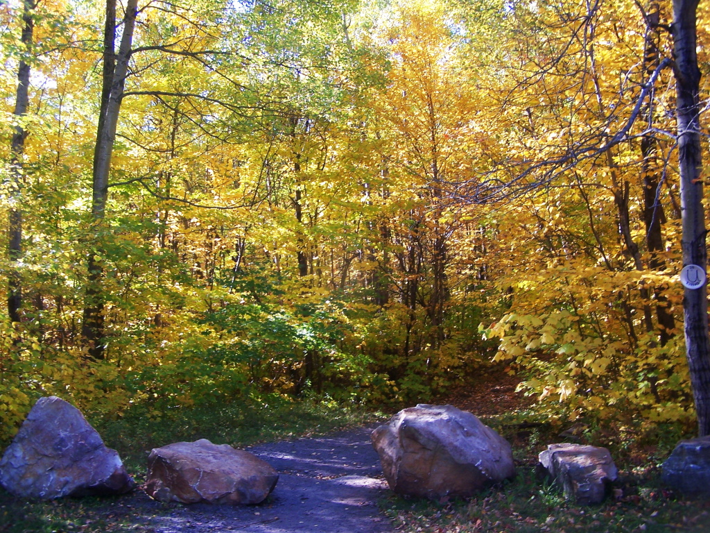 Photo: andyarthur, CC BY 2.0 (via Flickr)
- 3.5 mi
- one way
- 1,901 ft
- climb
- 3,822 ft
- high point
- Point to point
- route
Lyon Mountain Trail is a 3.5-mile point-to-point hike in New York, rising from about 1,900 feet to a high point of 3,822 feet. The climb totals 1,901 feet of elevation gain, and the route is rated moderate. The nearest town is Lyon Mountain, about 3.4 miles away. The trail is a single, straightforward route. It starts at roughly 1,949 feet and reaches its peak at 3,822 feet, with the steepest stretch coming around mile 2.2, where the grade reaches 28%. The total descent is about 270 feet, so the climb is the main challenge. The Old Lyon Mountain Trail lies just 0.2 miles away, and the Orange Loop and Blue Loop are each about 3.7 miles off. Paddlers can reach the Saranac River, roughly 9 miles away.
 Old Lyon Mountain TrailHikingPhoto: andyarthur, CC BY 2.0 (via Flickr)0.2 mi
- Orange LoopHiking3.7 mi
- Blue LoopHiking3.7 mi
- Red LoopHiking3.9 mi
 Saranac RiverCanoeingPhoto: Mwanner, CC BY-SA 3.0 (via Wikimedia Commons)9.1 mi
- North Branch Great Chazy RiverCanoeing9.7 mi
Source: Roamze catalog (indexable pages within 10 miles, PostGIS distance)
- Old Lyon Mountain TrailHiking · Next doorPhoto: andyarthur, CC BY 2.0 (via Flickr)
 Saranac River TrailHiking · ~33 min drivePhoto: New York Public Library, No restrictions (via Wikimedia Commons)
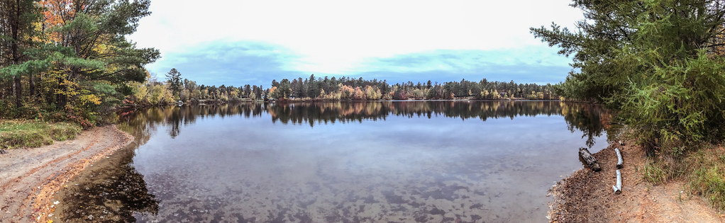 Bog TrailHiking · ~37 min drivePhoto: Tony Webster, CC BY-SA 2.0 (via Flickr)
- Marble Mountain TrailHiking · ~40 min drive
 Flume Knob TrailHiking · ~41 min drivePhoto: Idawriter, CC BY-SA 3.0 (via Wikimedia Commons)
- Rock Garden TrailHiking · ~42 min drivePhoto: Idawriter, CC BY-SA 3.0 (via Wikimedia Commons)
 Wilmington TrailHiking · ~39 min drivePhoto: Navin75, CC BY-SA 2.0 (via Flickr)
 Bear Den TrailHiking · ~42 min drivePhoto: Apuch, CC BY-SA 2.0 (via Flickr)
- Lost FarmHiking · ~43 min drivePhoto: Idawriter, CC BY-SA 3.0 (via Wikimedia Commons)
- Champlain Valley Trail (Plattsburgh to Canada Border)Hiking · ~34 min drive

Route details
- Distance
- 3.5 mi
- Climbing
- About 1,901 ft
- Summit
- 3,831 ft
- Difficulty
- Moderate
- Time
- About 2 hours
Questions about this route
How long is the Lyon Mountain Trail on Lyon Mountain?
About 3.5 mi.
How much elevation gain is on the Lyon Mountain Trail?
About 1,901 ft of climbing round trip.
How hard is the Lyon Mountain Trail?
It is rated moderate.
How long does the Lyon Mountain Trail take?
About 2 hours round trip.
Conditions and forecast on Lyon Mountain
Daily highs and lows, wind and the chance of precipitation at the summit and route start for the next 7 days, from the Open-Meteo model.
Map and trail data © OpenStreetMap contributors
