Gull Lake Trail
- 2.7 mi
- round trip
- 712 ft
- climb
- 1,838 ft
- high point
- Out and back
- route
- Jun, Aug–Sep
- best months
Clear at last check
Weather is good · OpenWeather · checked 18 h ago
Gull Lake Trail is an easy out-and-back hike in the Black River Wild Forest in New York, managed by the State Department of Conservation. The trail is about 5.5 miles long, with a total elevation gain of 170 feet, and it starts at roughly 1,780 feet, rising to a high point of about 1,838 feet. The steepest stretch comes around the 2-mile mark, where the grade reaches about 11 percent. Summer is the most comfortable time to go. Typical averages from a nearby weather station in Old Forge show July highs around 75°F with lows near 54°F, while winter highs stay in the 20s. Several other trails sit within a short drive. Chub Pond Trail and Gull Lake Lean-To Trail are each about 1.5 miles away, and Big Woodhull-Sand Lake Falls Trail is about 2.5 miles off. Climbers can find Flatrock Boulders about 9 miles away.
Local outfitters
- Great Camp Sagamore27 mi away
Not on Roamze yet. Their page has how to reach them.
- Chub Pond TrailHiking1.5 mi
- Gull Lake Lean-To TrailHiking1.5 mi
- Mill Creek RoadHiking1.7 mi
- Big Woodhull- Sand Lake Falls TrailHiking2.5 mi
- Bear Lake Trail - Black River Wild Forest - AdirondacksHiking3.3 mi
- Bear Lake TrailHiking3.4 mi
- Woodhull - Sand Lake Falls TrailHiking3.4 mi
- Flatrock BouldersRock climbing9.2 mi
Source: Roamze catalog (indexable pages within 10 miles, PostGIS distance)
 Twin Lakes TrailHiking · ~9 min drivePhoto: Andy Arthur, CC BY 2.0 (via Wikimedia Commons)
 South Branch TrailHiking · ~9 min drivePhoto: andyarthur, CC BY 2.0 (via Flickr)
 Canal Trail (Breia)Hiking · ~29 min drivePhoto: Russ Nelson, CC BY-SA 2.0 (via Flickr)
 Brook Trout Lake Trail #50Hiking · ~39 min drivePhoto: ke9tv, CC BY-SA 2.0 (via Flickr)
 Lost Lake TrailHiking · ~18 min drivePhoto: cm195902, CC BY 2.0 (via Flickr)
 Icehouse Pond TrailHiking · ~35 min drivePhoto: andyarthur, CC BY 2.0 (via Flickr)
- Stone Dam TrailHiking · ~9 min drive
- Clark Hill to RomeHiking · ~28 min drive
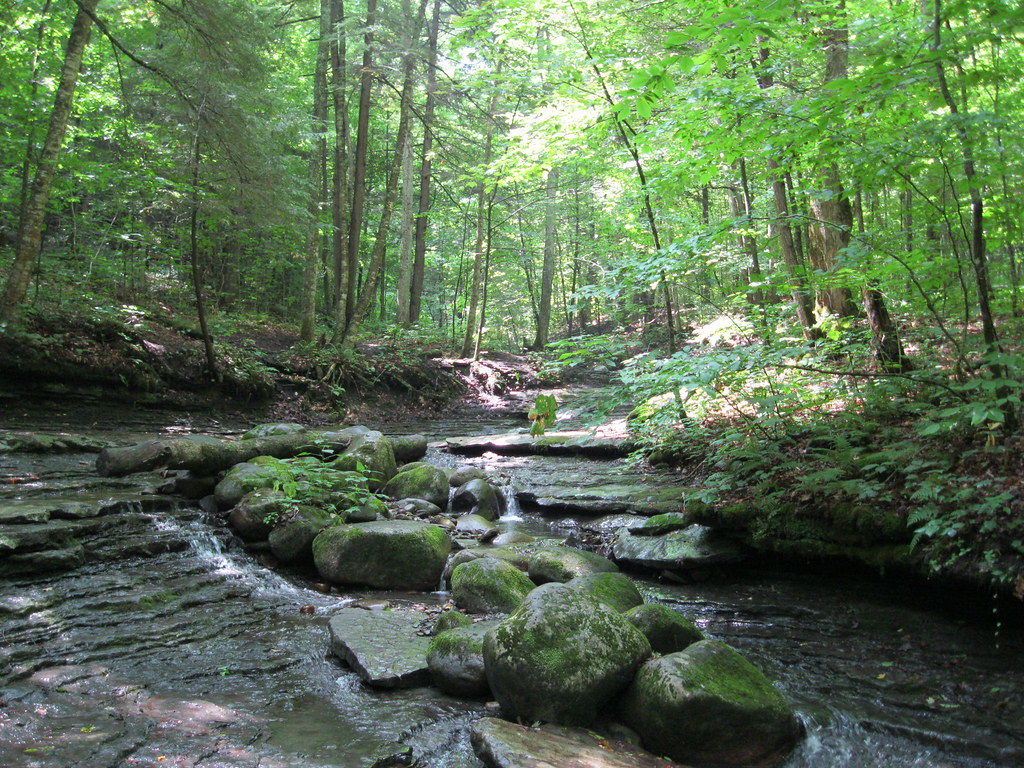 Pixley FallsHiking · ~28 min drivePhoto: nick.hepler, CC BY 2.0 (via Flickr)
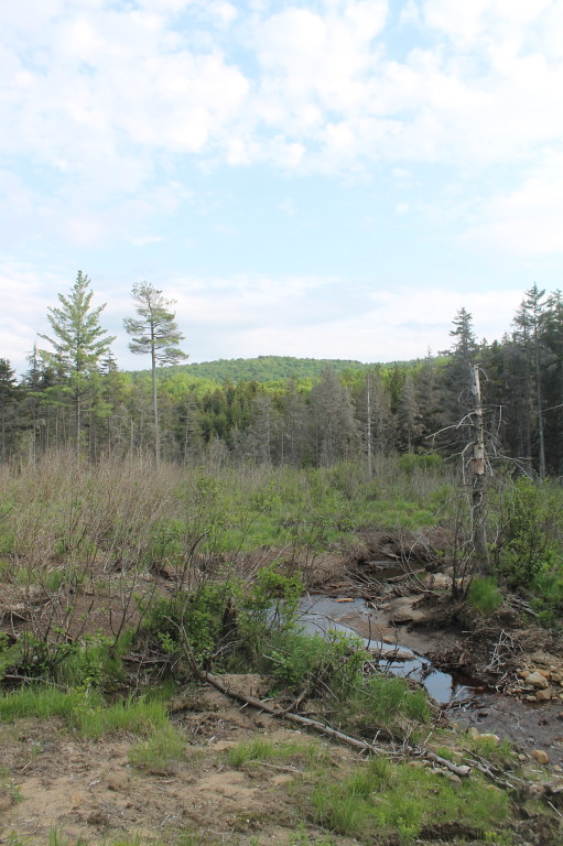 Brook Trout Lake Trail, #50 To West LakeHiking · ~35 min drivePhoto: andyarthur, CC BY 2.0 (via Flickr)
Best time to visit Gull Lake Trail
Best months: June and August–September. Best months have typical highs of 55–85 °F, lows of 30 °F or warmer (32 °F where the station doesn't record snow), at most one snowy day and no more than 12 wet days.
Jan
26° / 5°
19 wet
Feb
29° / 7°
16 wet
Mar
36° / 15°
14 wet
Apr
50° / 29°
13 wet
May
64° / 41°
13 wet
Jun
71° / 50°
12 wet
Jul
75° / 54°
13 wet
Aug
74° / 53°
12 wet
Sep
67° / 46°
12 wet
Oct
55° / 36°
14 wet
Nov
42° / 25°
15 wet
Dec
31° / 15°
18 wet
Typical high / low (°F) and days with rain or snow, 1991–2020. Measured at Old Forge, NY, 12.4 mi away at 1,748 ft. This station doesn't record snowfall. Source: NOAA NCEI U.S. Climate Normals 1991–2020.
