Escarpment Trail (Yellow
- 1.3 mi
- round trip
- 381 ft
- climb
- 1,811 ft
- high point
- Out and back
- route
- Jun–Oct
- best months
The Escarpment Trail (Yellow) is an easy, short out-and-back hike in New York's State Department of Conservation lands, with a one-way climb of about 375 feet over roughly 1.3 miles. The trail's high point reaches 1,811 feet, and the climb is front-loaded, with the steepest stretch starting just past the trailhead at about 15%. The full round trip covers about 2.6 miles, with the same total gain and loss of about 380 feet each way. For comfortable weather, late spring through early fall works well. Typical averages from a nearby weather station in Grafton put September highs near 69°F with lows around 51°F, while July highs average about 78°F. That station sits a few hundred feet lower than the trail's high point, so temperatures up top run a little cooler. The Waterfalls Trail (Blue) starts about 0.3 miles away. In winter, the East Flat and Mogul Twister cross-country ski areas lie about 5 miles off, and Kinderhook Creek offers canoeing about 6 miles away.
Best time to go · Jun–Oct
Best time to visit Escarpment Trail (Yellow
Best months: June–October. Best months have typical highs of 55–85 °F, lows of 30 °F or warmer (32 °F where the station doesn't record snow), at most one snowy day and no more than 12 wet days.
Jan
30° / 14°
13 wet
Feb
32° / 16°
11 wet
Mar
41° / 23°
13 wet
Apr
55° / 35°
13 wet
May
67° / 46°
14 wet
Jun
74° / 54°
12 wet
Jul
78° / 59°
12 wet
Aug
77° / 58°
11 wet
Sep
69° / 51°
11 wet
Oct
57° / 41°
12 wet
Nov
45° / 30°
12 wet
Dec
34° / 21°
13 wet
Typical high / low (°F) and days with rain or snow, 1991–2020. Measured at Grafton, NY, 11.8 mi away at 1,560 ft. This station doesn't record snowfall. Source: NOAA NCEI U.S. Climate Normals 1991–2020.
Keep exploring — more trails worth the drive
 Photo: Flipfox22, CC BY-SA 3.0 (via Wikimedia Commons)
Pine Mountain Trail
~16 min drive
2.6-mile out-and-back trail in Massachusetts with 679 ft elevation gain.
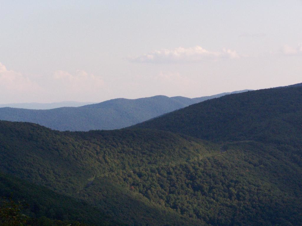 Photo: andyarthur, CC BY 2.0 (via Flickr)
Birch Brook Trail
~19 min drive
2.84-mile out-and-back trail in New York with 1,225 ft of elevation gain
Photo: Flipfox22, CC BY-SA 3.0 (via Wikimedia Commons)Brickhouse Mountain Trail
~16 min drive
2.44-mile out-and-back hike in Massachusetts with 690 ft elevation gain.
HIKE
Long Trail (White)
~13 min drive
4.00-mile out-and-back trail in New York with 487 ft gain
Photo: andyarthur, CC BY 2.0 (via Flickr)Shepherds Well Trail
~17 min drive
2.0-mile out-and-back trail in Massachusetts with 566 ft elevation gain and loss.
HIKE
Honwee Loop trail
~18 min drive
3.07-mile loop in Massachusetts with 1,144 ft gain and 2,319 ft max elevation.
Photo: Flipfox22, CC BY-SA 3.0 (via Wikimedia Commons)Parker brook trail
~18 min drive
2.64-mile out-and-back trail in Massachusetts with 996 ft elevation gain and loss.
HIKE
Bradley Farm Trail
~19 min drive
1.15-mile out-and-back trail in Massachusetts with 192 ft gain.
 Photo: andyarthur, CC BY 2.0 (via Flickr)
Rounds Rock - Jones Nose Loop
~19 min drive
Short point-to-point trail linking two rocky Massachusetts outcrops with scenic views.
HIKE
Deer Hill Trail
~19 min drive
Easy 1.15-mile out-and-back woodland hike in Massachusetts.
Map and trail data © OpenStreetMap contributors
