Erie Canalway Trail (Brockport to Rochester)
- 19.2 mi
- one way
- 75 ft
- climb
- 563 ft
- high point
- Point to point
- route
- Apr–Oct
- best months
The Erie Canalway Trail from Brockport to Rochester is a 19.15-mile point-to-point route that runs from Brockport, New York, just 0.2 miles from the town, to Rochester. The trail's start sits at 515 feet, and it rises to 563 feet at its highest point, with an overall elevation gain of 75 feet. The climb is gentle, and the steepest stretch comes at about 14.9 miles, where the grade reaches 2 percent. Bikes are allowed on the route, while horses are not. The trail's shape makes it a straightforward path between the two cities, with only a small amount of climbing to contend with along the way. Summer and early fall are the most comfortable times to go. Typical averages from a nearby weather station in Brockport put July highs around 80°F with lows near 62°F, and September highs around 73°F with lows near 54°F. Winters are cold, with January highs averaging about 33°F. For a shorter outing close by, Fox Run Trail is about 9.9 miles away.
Source: Roamze catalog (indexable pages within 10 miles, PostGIS distance)
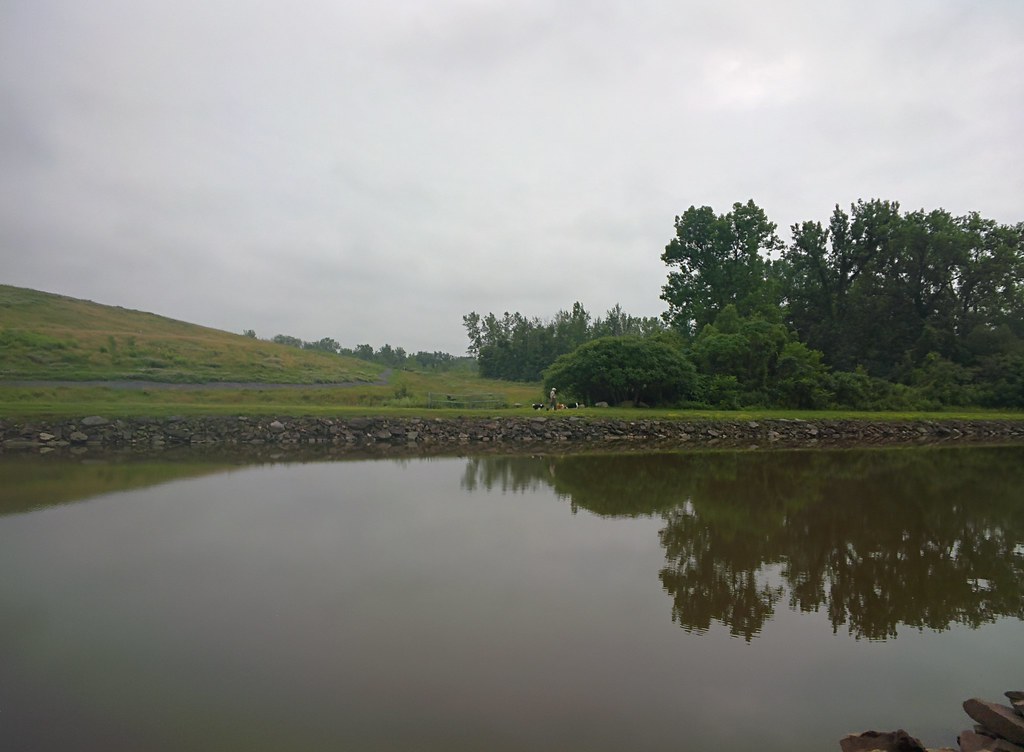 Erie Canalway Trail (Albion to Brockport)Hiking · ~18 min drivePhoto: Russ Nelson, CC BY-SA 2.0 (via Flickr)
 Butler's Gap TrailHiking · ~36 min drivePhoto: PLeia2, CC BY 2.0 (via Flickr)
- Groveland Secondary TrailHiking · ~37 min drive
 Trout RunHiking · ~27 min drivePhoto: sailorbill, CC BY 2.0 (via Flickr)
 Coyote Den TrailHiking · ~37 min drivePhoto: seabamirum, CC BY 2.0 (via Flickr)
- Bluebird TrailHiking · ~27 min drivePhoto: sailorbill, CC BY 2.0 (via Flickr)
- Old Burrell RoadHiking · ~27 min drivePhoto: sailorbill, CC BY 2.0 (via Flickr)
 Eco TrailHiking · ~29 min drivePhoto: Russ Nelson, CC BY-SA 2.0 (via Flickr)
 Trott Lake TrailHiking · ~33 min drivePhoto: vwcampin, CC BY 2.0 (via Flickr)
- Durand Lake TrailHiking · ~33 min drivePhoto: vwcampin, CC BY 2.0 (via Flickr)
Best time to visit Erie Canalway Trail (Brockport to Rochester)
Best months: April–October. Best months have typical highs of 55–85 °F, lows of 30 °F or warmer (32 °F where the station doesn't record snow), at most one snowy day and no more than 12 wet days.
Jan
33° / 18°
Feb
35° / 17°
Mar
42° / 26°
Apr
55° / 36°
May
67° / 48°
Jun
75° / 58°
Jul
80° / 62°
Aug
79° / 61°
Sep
73° / 54°
Oct
60° / 43°
Nov
48° / 33°
Dec
38° / 25°
Typical high / low (°F) and days with rain or snow, 1991–2020. Measured at Brockport, NY, 0.9 mi away at 498 ft. This station doesn't record snowfall. Source: NOAA NCEI U.S. Climate Normals 1991–2020.
Map and trail data © OpenStreetMap contributors
