Erie Canalway Trail (Albion to Brockport)
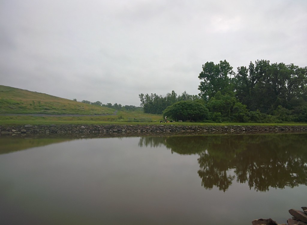 Photo: Russ Nelson, CC BY-SA 2.0 (via Flickr)
- 11.4 mi
- one way
- 10 ft
- climb
- 520 ft
- high point
- Point to point
- route
- Apr–Sep
- best months
Clear today
Weather is good · OpenWeather · checked just now
The Erie Canalway Trail from Albion to Brockport is an easy, low-lying point-to-point route of about 11.4 miles, with a total elevation gain of just 10 feet. The trail runs between the towns of Albion and Brockport in New York, and the nearest town along the way is Richs Corners, about 1.5 miles from the route. The path is nearly flat, with the high point at 520 feet and the low at 502 feet. The steepest stretch comes at about 9 miles in, where the grade reaches 2 percent. Bikes are allowed, but horses are not. For comfortable weather, late spring and early fall are the best bets. Typical averages from a nearby weather station in Albion show May highs around 70°F and September highs around 75°F, with July the warmest month at about 83°F. The trail is part of the Erie Canalway Trail network, and the route is open year-round.
 Erie Canalway Trail (Middleport to Albion)Hiking · ~30 min drivePhoto: Russ Nelson, CC BY-SA 2.0 (via Wikimedia Commons)
- Erie Canalway Trail (Brockport to Rochester)Hiking · ~18 min drive
 Blue TrailHiking · ~33 min drivePhoto: Dougtone, CC BY-SA 2.0 (via Flickr)
- Groveland Secondary TrailHiking · ~38 min drive
 Trout RunHiking · ~40 min drivePhoto: sailorbill, CC BY 2.0 (via Flickr)
- Groveland Secondary TrailHiking · ~52 min drive
 Conservation Trail (FLT)Hiking · ~41 min drivePhoto: jdmonin, CC BY-SA 2.0 (via Flickr)
- Bluebird TrailHiking · ~41 min drivePhoto: sailorbill, CC BY 2.0 (via Flickr)
- Old Burrell RoadHiking · ~41 min drivePhoto: sailorbill, CC BY 2.0 (via Flickr)
 Conservation TrailHiking · ~41 min drivePhoto: javajoe6, CC BY-SA 3.0 (via Wikimedia Commons)
Best time to visit Erie Canalway Trail (Albion to Brockport)
Best months: April–September. Best months have typical highs of 55–85 °F, lows of 30 °F or warmer (32 °F where the station doesn't record snow), at most one snowy day and no more than 12 wet days.
Jan
33° / 18°
14 wet
Feb
35° / 18°
12 wet
Mar
44° / 25°
12 wet
Apr
57° / 36°
12 wet
May
70° / 46°
11 wet
Jun
79° / 57°
10 wet
Jul
83° / 62°
10 wet
Aug
81° / 60°
10 wet
Sep
75° / 54°
11 wet
Oct
62° / 43°
13 wet
Nov
49° / 33°
13 wet
Dec
38° / 24°
14 wet
Typical high / low (°F) and days with rain or snow, 1991–2020. Measured at Albion, NY, 4.2 mi away at 472 ft. This station doesn't record snowfall. Source: NOAA NCEI U.S. Climate Normals 1991–2020.
Map and trail data © OpenStreetMap contributors
