Brookwood RV Resort
Campground
Campground · 4.9 mi from the trail
Bear Pond Trail is a 5.4-mile out-and-back hike in the Pharaoh Lake Wilderness of New York, managed by the State Department of Conservation. The trail starts at an elevation of about 1,435 feet and climbs to a high point of roughly 1,737 feet, with a total gain of 1,143 feet over the round trip. The steepest section comes at about 2.3 miles in, where the grade reaches 18%. Summer and early fall are the most comfortable times to go. Typical averages from the nearby Cornwall, VT weather station put July highs around 80°F with lows near 60°F, and September highs around 71°F. That station sits well below the trail, so temperatures on the higher ground run cooler. Clear Pond Trail lies just 0.1 mile away, and Lost Pond Trail and the Treadway Mountain Trail are both within about 2.5 miles. Climbers can find Devil's Washdish about 2.6 miles off.
Brookwood RV Resort
Campground
Schroon Lake view
Viewpoint
Places © OpenStreetMap contributors
More in Schroon LakeNot on Roamze yet. Their page has how to reach them.
Best months: May–October. Best months have typical highs of 55–85 °F, lows of 30 °F or warmer (32 °F where the station doesn't record snow), at most one snowy day and no more than 12 wet days.
Jan
27° / 9°
11 wet · 8 snow
Feb
30° / 10°
9 wet · 7 snow
Mar
40° / 20°
9 wet · 4 snow
Apr
54° / 33°
10 wet · 1 snow
May
67° / 45°
11 wet
Jun
75° / 54°
12 wet
Jul
80° / 60°
12 wet
Aug
79° / 57°
10 wet
Sep
71° / 49°
9 wet
Oct
57° / 38°
12 wet
Nov
44° / 28°
11 wet · 2 snow
Dec
33° / 18°
12 wet · 6 snow
Typical high / low (°F) and days with rain or snow, 1991–2020. Measured at Cornwall, VT, 19.6 mi away at 345 ft. The station sits about 1,400 ft lower than this place, so expect it a little cooler here. Source: NOAA NCEI U.S. Climate Normals 1991–2020.
 Photo: Andy Arthur, CC BY 2.0 (via Wikimedia Commons)
Rock Pond to Lilypad Pond Trail
~4 min drive
2.54-mile out-and-back hike from Rock Pond to Lilypad Pond in New York
Photo: Andy Arthur, CC BY 2.0 (via Wikimedia Commons)Treadway Mountain Trail
~4 min drive
1.91-mile point-to-point trail in New York with 1,002 ft descent.
 Photo: Andy Arthur, CC BY 2.0 (via Wikimedia Commons)
Short Swing Trail
~7 min drive
11.04-mile out-and-back trail in New York with 2,645 ft elevation gain
 Photo: Andy Arthur, CC BY 2.0 (via Wikimedia Commons)
Long Swing Trail
~7 min drive
3.40-mile point-to-point trail in New York with 980 ft gain.
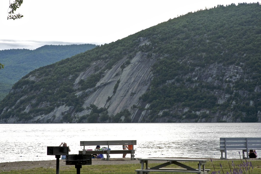 Photo: crimfants, CC BY-SA 2.0 (via Flickr)
Cook Mountain
~12 min drive
2.74-mile out-and-back trail in New York with 1,092 ft of elevation gain
Photo: Andy Arthur, CC BY 2.0 (via Wikimedia Commons)Pharaoh Mountain Trail
~7 min drive
Point-to-point Adirondack summit hike with scenic mountain views.
Photo: Andy Arthur, CC BY 2.0 (via Wikimedia Commons)Crane Pond Rd
~8 min drive
2.33-mile out-and-back trail in New York with 301 ft elevation gain
HIKE
Creek Rd/County Rt 2
~9 min drive
Gentle 4.95-mile out-and-back walk on a rural country road in New York.
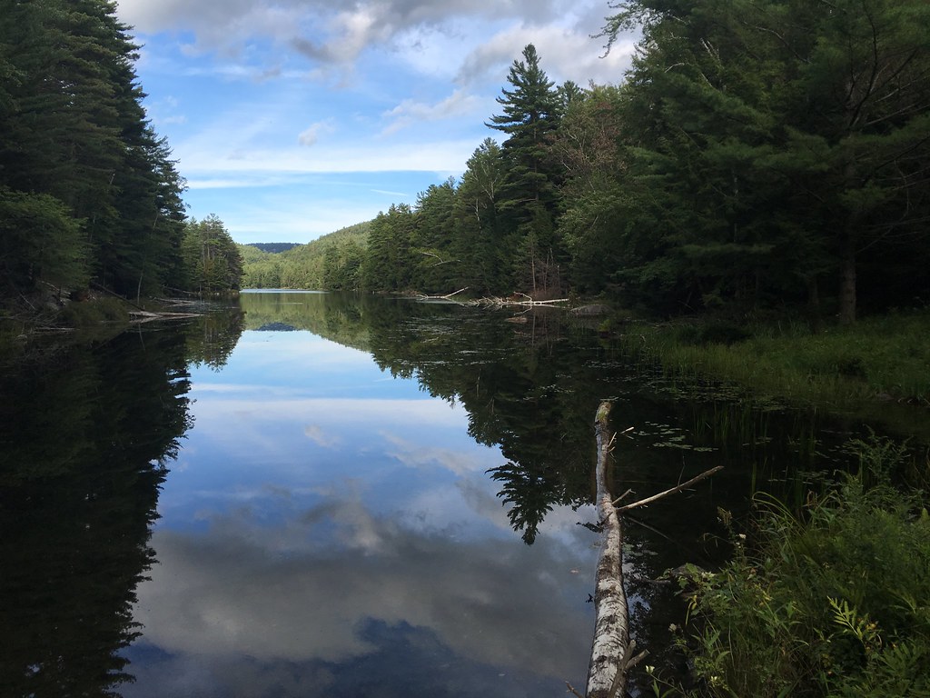 Photo: tracy the astonishing, CC BY-SA 2.0 (via Flickr)
Springhill Ponds Trail
~8 min drive
12.12-mile out-and-back hike in New York with 2,173 ft gain/loss
Photo: Andy Arthur, CC BY 2.0 (via Wikimedia Commons)Pharoah Lake Trail
~9 min drive
2.33-mile out-and-back hike at Pharoah Lake Trail in New York
Map and trail data © OpenStreetMap contributors


