Santa Fe Trail
- 0.6 mi
- round trip
- 22 ft
- climb
- 6,495 ft
- high point
- Out and back
- route
- May–Jun, Aug–Oct
- best months
The Santa Fe Trail is a short, easy hike in northern New Mexico, about half a mile from the town of Ciruela. The route is an out-and-back, roughly 1.1 miles long, with a total climb of about 22 feet. That makes it a gentle walk, suitable for a quick stop or a break on the way to or from another destination. Spring and fall are the most comfortable times to go. Typical averages from the nearby Valmora weather station show May highs around 75°F and October highs around 71°F, while July and August average highs in the upper 80s and bring the most wet days of the year. The trail sits at about 6,470 feet, and the Valmora station sits a few hundred feet lower, so temperatures on the trail run slightly cooler.
 Santa Fe TrailHiking · ~18 min drivePhoto: markbyzewski, CC BY 2.0 (via Flickr)
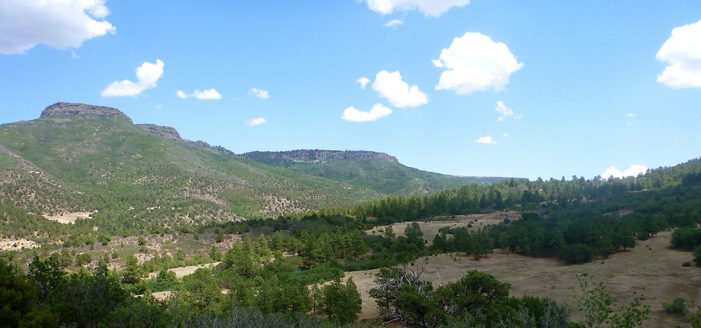 Santa Fe TrailHiking · ~19 min drivePhoto: T100Timlen, Public Domain Dedication (CC0) (via Flickr)
- Santa Fe TrailHiking · ~7 min drive
- Fish Camp - Crags TrailHiking · ~49 min drive
- Santa Fe TrailHiking · ~3 min drive
- Santa Fe TrailHiking · ~9 min drive
- Abreu - Aguila TrailHiking · ~48 min drive
- Santa Fe TrailHiking · ~7 min drive
- Santa Fe TrailHiking · ~30 min drive
- Abreu - Toothache Spring TrailHiking · ~49 min drive
Best time to visit Santa Fe Trail
Best months: May–June and August–October. Best months have typical highs of 55–85 °F, lows of 30 °F or warmer (32 °F where the station doesn't record snow), at most one snowy day and no more than 12 wet days.
Jan
51° / 14°
2 wet
Feb
54° / 17°
2 wet
Mar
60° / 22°
2 wet
Apr
67° / 29°
3 wet
May
75° / 38°
4 wet
Jun
85° / 46°
6 wet
Jul
88° / 52°
9 wet
Aug
85° / 51°
9 wet
Sep
80° / 43°
5 wet
Oct
71° / 32°
3 wet
Nov
60° / 21°
2 wet
Dec
51° / 15°
2 wet
Typical high / low (°F) and days with rain or snow, 1991–2020. Measured at Valmora, NM, 15.4 mi away at 6,325 ft. This station doesn't record snowfall. Source: NOAA NCEI U.S. Climate Normals 1991–2020.

Map and trail data © OpenStreetMap contributors
