Ruins Interpretive Trail
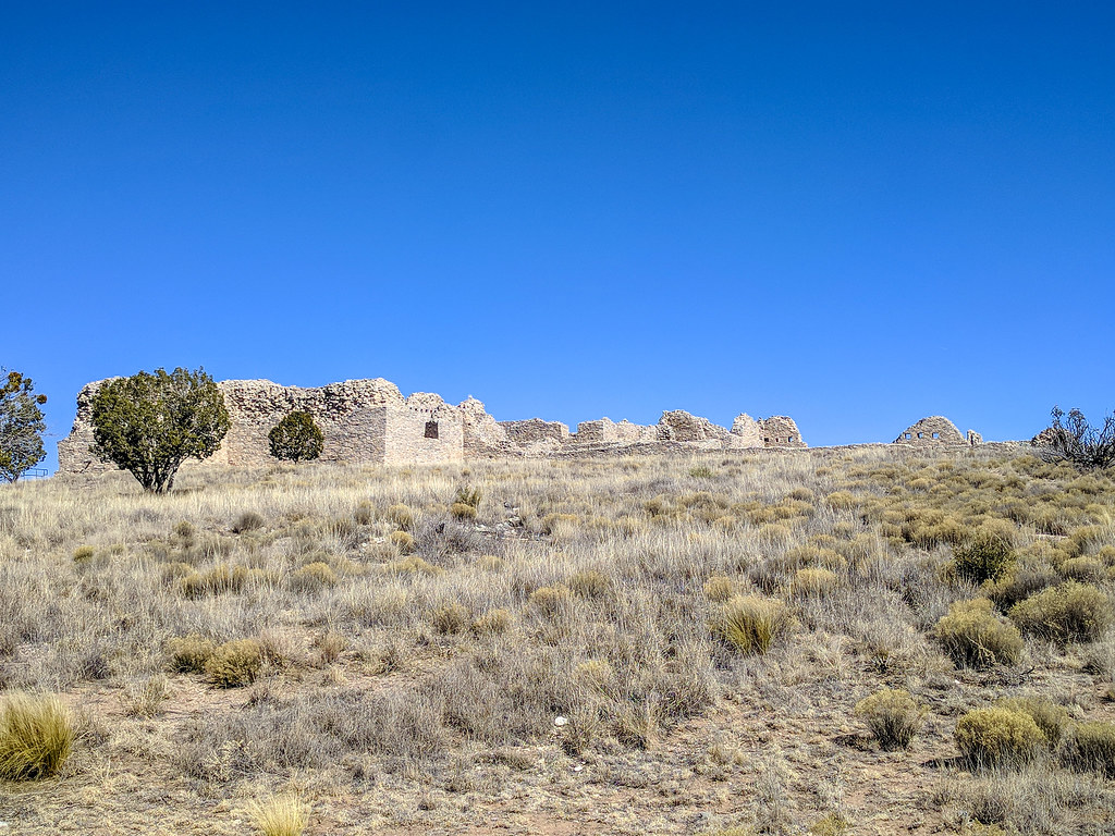 Photo: RuggyBearLA, CC BY 2.0 (via Flickr)
- 0.4 mi
- round trip
- 27 ft
- climb
- 6,527 ft
- high point
- Out and back
- route
- Apr–May, Sep–Oct
- best months
Is Ruins Interpretive Trail open right now?
No closures listed
The National Park Service lists no closures for Salinas Pueblo Missions National Monument.
As of · Source: NPS · Salinas Pueblo Missions National Monument. Agencies don't list every closure — check before you go.
The Ruins Interpretive Trail is a short, easy walk of about 0.44 miles, with a total elevation gain of 27 feet, set within Salinas Pueblo Missions National Monument in New Mexico. The trail is an out-and-back route, roughly 0.88 miles long, with the high point at about 6,527 feet and the low point at about 6,480 feet. The National Park Service manages the land, and the trail sits within the monument's boundaries. Spring and fall are the most comfortable times to visit. Typical averages from a nearby weather station at Gran Quivira National Monument show May highs around 78°F and October highs around 70°F, while July and August bring highs near 88°F and the most wet days of the year. There is no fee to hike the trail. The monument's own name, Salinas Pueblo Missions National Monument, makes it an easy pairing with other stops in the area.
- Mission Ruins Interpretive TrailHiking · ~36 min drive
- Priest Canyon RoadHiking · ~39 min drive
- Wsmr South Route 3807Hiking · ~40 min drive
- Manzano Crest TrailHiking · ~59 min drive
- Three Springs TrailHiking · ~40 min drive
- Wsmr South Route 3802Hiking · ~50 min drive
- Grand Enchantment TrailHiking · ~40 min drive
- Grand Enchantment TrailHiking · ~44 min drive
- Grand Enchantment TrailHiking · ~50 min drive
- Kayser Mill TrailHiking · ~51 min drive
Best time to visit Ruins Interpretive Trail
Best months: April–May and September–October. Best months have typical highs of 55–85 °F, lows of 30 °F or warmer (32 °F where the station doesn't record snow), at most one snowy day and no more than 12 wet days.
Jan
49° / 23°
4 wet
Feb
54° / 26°
4 wet
Mar
62° / 31°
4 wet
Apr
69° / 36°
3 wet
May
78° / 45°
5 wet
Jun
88° / 54°
6 wet
Jul
88° / 57°
11 wet
Aug
86° / 56°
11 wet
Sep
80° / 50°
8 wet
Oct
70° / 40°
5 wet
Nov
58° / 29°
4 wet
Dec
48° / 23°
5 wet
Typical high / low (°F) and days with rain or snow, 1991–2020. Measured at Gran Quivira Natl Mon, NM, 0.1 mi away at 6,600 ft. This station doesn't record snowfall. Source: NOAA NCEI U.S. Climate Normals 1991–2020.
Map and trail data © OpenStreetMap contributors
