Middle Mesa Trail #716
- 7.8 mi
- round trip
- 1,173 ft
- climb
- 7,514 ft
- high point
- Out and back
- route
- Apr–May, Aug–Oct
- best months
Is Middle Mesa Trail #716 open right now?
Closure in the area
There's a closure order in Gila National Forest. It doesn't name Middle Mesa Trail #716, so check the source for the area it covers (2 listed).
Beaverhead Water Non-Potable
Agency closure covering Gila National Forest · USFS · Gila National Forest
Mogollon Box Day Use Area gate closure
Agency closure covering Gila National Forest · USFS · Gila National Forest
Harmful algae detected in Lake Roberts
Agency alert covering Gila National Forest · USFS · Gila National Forest
Potentially Dangerous Animal Encounters
Agency alert covering Gila National Forest · USFS · Gila National Forest
As of · Source: USFS · Gila National Forest. Agencies don't list every closure — check before you go.
Middle Mesa Trail #716 is a hard out-and-back hike in the Wilderness Ranger District of Gila National Forest in New Mexico, managed by the Forest Service. The trail runs about 15.6 miles round trip, with a one-way elevation gain of 1,173 feet, from a low point of 6,534 feet to a high of 7,514 feet. The trailhead is Middle Mesa Trailhead. Spring and fall are the most comfortable times to go. Typical averages from a nearby weather station at Winston, NM, show May highs around 79°F and October highs around 71°F, while July and August bring the most wet days, about nine and ten a month. That station sits roughly 1,300 feet lower than the trail's high point, so temperatures on the route run cooler. Black Canyon Campground - Upper is about half a mile away, and Black Canyon Campground - Lower is about 0.7 miles off. The Tom Moore Canyon Trail #708 and the Black Canyon Trail #94 are also within a mile.
Local outfitters
- Silver City RV Park32 mi away
- Burro Mountain Homestead RV Park46 mi away
Not on Roamze yet. Their page has how to reach them.
Best time to go · Apr–May, Aug–Oct
Best time to visit Middle Mesa Trail #716
Best months: April–May and August–October. Best months have typical highs of 55–85 °F, lows of 30 °F or warmer (32 °F where the station doesn't record snow), at most one snowy day and no more than 12 wet days.
Jan
53° / 20°
2 wet · 1 snow
Feb
57° / 23°
2 wet · 1 snow
Mar
64° / 27°
2 wet
Apr
71° / 34°
1 wet
May
79° / 41°
2 wet
Jun
89° / 50°
4 wet
Jul
87° / 56°
9 wet
Aug
84° / 54°
10 wet
Sep
79° / 47°
6 wet
Oct
71° / 35°
3 wet
Nov
60° / 25°
2 wet
Dec
52° / 19°
3 wet · 1 snow
Typical high / low (°F) and days with rain or snow, 1991–2020. Measured at Winston, NM, 24.7 mi away at 6,196 ft. The station sits about 1,300 ft lower than this place, so expect it a little cooler here. Source: NOAA NCEI U.S. Climate Normals 1991–2020.
Keep exploring — more trails worth the drive
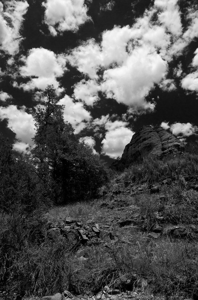 Photo: maximalideal, CC BY-SA 2.0 (via Flickr)
Alum Camp Trail
~17 min drive
2.48-mile out-and-back trail in New Mexico with 1,266 ft elevation gain
HIKE
Tom Moore Canyon Trail #708
~1 min drive
11.22-mile out-and-back trail in New Mexico with 392 ft elevation gain.
HIKE
Me Own Hill Road
~2 min drive
0.38-mile out-and-back trail with 58 ft gain in New Mexico.
HIKE
Spring Mountain
~13 min drive
11.57-mile out-and-back hike in New Mexico with 3,754 ft elevation gain.
Photo: maximalideal, CC BY-SA 2.0 (via Flickr)Cdt - Gila River Alternate
~17 min drive
2.65-mile out-and-back trail in New Mexico with 505 ft elevation gain.
HIKE
Black Canyon Trail #94
~1 min drive
11.40-mile out-and-back trail in New Mexico with 789 ft elevation gain.
HIKE
Black Canyon Bypass
~2 min drive
0.85-mile out-and-back trail in New Mexico with 31 ft of elevation gain.
HIKE
Mimbres River Trail #77
~19 min drive
11.44-mile out-and-back trail on the Mimbres River in New Mexico with 899 ft of elevation gain.
HIKE
Me Own Trail #707
~3 min drive
Quick 3.87-mile New Mexico hike with easy terrain and minimal elevation gain.
HIKE
Aspen Canyon Trail #75
~8 min drive
5.08-mile out-and-back trail in New Mexico with 1,793 ft elevation gain.

Route details
- Distance
- 7.8 mi round trip
- Climbing
- About 1,173 ft
- Starts at
- Middle Mesa Trailhead (about 7,434 ft)
- Summit
- 7,509 ft
- Difficulty
- Hard
Questions about this route
How long is the Middle Mesa Trail #716 on Middle Mesa?
About 7.8 mi round trip from Middle Mesa Trailhead (about 7,434 ft).
How much elevation gain is on the Middle Mesa Trail #716?
About 1,173 ft of climbing round trip.
How hard is the Middle Mesa Trail #716?
It is rated hard.
Where does the Middle Mesa Trail #716 start?
Middle Mesa Trailhead (about 7,434 ft).
Conditions and forecast on Middle Mesa
Daily highs and lows, wind and the chance of precipitation at the summit and route start for the next 7 days, from the Open-Meteo model.
Map and trail data © OpenStreetMap contributors
