Middle Fork Trail #157
- 38.7 mi
- round trip
- 1,319 ft
- climb
- 7,859 ft
- high point
- Out and back
- route
Caution at last check
Agency alerts are in effect for this area; weather is good · USFS, OpenWeather · checked 18 h ago
Is Middle Fork Trail #157 open right now?
Closure in the area
There's a closure order in Gila National Forest. It doesn't name Middle Fork Trail #157, so check the source for the area it covers.
Beaverhead Water Non-Potable
Agency closure covering Gila National Forest · USFS · Gila National Forest
Harmful algae detected in Lake Roberts
Agency alert covering Gila National Forest · USFS · Gila National Forest
Potentially Dangerous Animal Encounters
Agency alert covering Gila National Forest · USFS · Gila National Forest
As of · Source: USFS · Gila National Forest. Agencies don't list every closure — check before you go.
Middle Fork Trail #157 is a long, hard out-and-back hike in the Gila Wilderness of New Mexico, within the Wilderness Ranger District of the Gila National Forest. The trail stretches about 77.5 miles, with a one-way elevation gain of 1,319 feet, from a low point of about 5,700 feet to a high of about 7,860 feet. The Forest Service manages the land. The route starts close to two other trails, Gila Pump House Road and White Rocks, both about 0.1 mile away. The Grand Enchantment Trail lies about 0.6 mile off, and White Rocks Trail is about 0.8 mile away. Forks Campground and the East Fork Gila River, both about 4.3 miles away, offer camping and paddling.
Local outfitters
- Silver City RV Park32 mi away
- Burro Mountain Homestead RV Park45 mi away
Not on Roamze yet. Their page has how to reach them.
Keep exploring — more trails worth the drive
 Photo: Chris M Morris, CC BY 2.0 (via Wikimedia Commons)
Lilley Park
~2 min drive
50.40-mile out-and-back trail in New Mexico with 4,034 ft elevation gain.
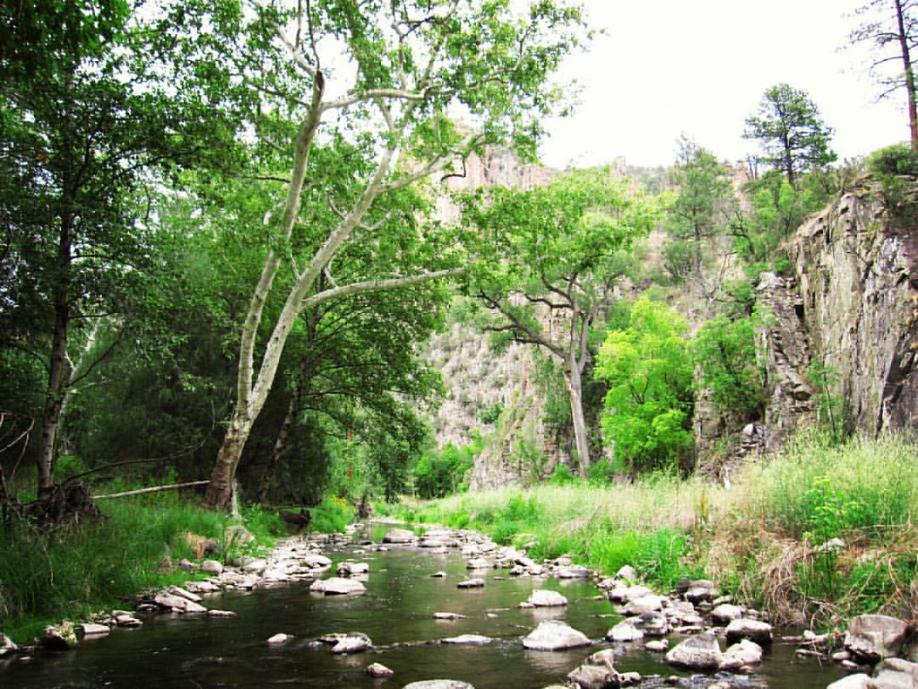 Photo: cm195902, CC BY 2.0 (via Flickr)
Grand Enchantment Trail
~3 min drive
Ultra-short introductory walk in New Mexico's Grand Enchantment area.
Photo: Chris M Morris, CC BY 2.0 (via Wikimedia Commons)Ee Canyon
~5 min drive
5.66-mile out-and-back trail in New Mexico with 1,055 ft elevation gain.
HIKE
Ring Canyon Trail
~12 min drive
9.26-mile out-and-back hike in New Mexico with 2,312 ft gain and 7,857 ft max elevation.
Photo: Chris M Morris, CC BY 2.0 (via Wikimedia Commons)Big Bear Canyon Trail #28
~6 min drive
6.99-mile out-and-back hike in Big Bear Canyon with 1,792 ft gain.
Photo: cm195902, CC BY 2.0 (via Flickr)Grand Enchantment Trail
~3 min drive
0.09-mile out-and-back trail in New Mexico with 64 ft of elevation gain.
 Photo: maximalideal, CC BY-SA 2.0 (via Flickr)
Alum Camp Trail
~10 min drive
2.48-mile out-and-back trail in New Mexico with 1,266 ft elevation gain
HIKE
White Rocks Trail
~10 min drive
5.65-mile out-and-back hike in New Mexico with 113 ft elevation gain.
Photo: cm195902, CC BY 2.0 (via Flickr)West Fork Shortcut
~4 min drive
West Fork Shortcut is a 1.06-mile out-and-back trail in New Mexico with 238 ft of elevation gain.
 Photo: cm195902, CC BY 2.0 (via Flickr)
Little Bear Canyon Trail #729
~3 min drive
3.95-mile out-and-back hike in Little Bear Canyon with 955 ft gain.

Map and trail data © OpenStreetMap contributors
