Lybrooks Badlands Trail 2
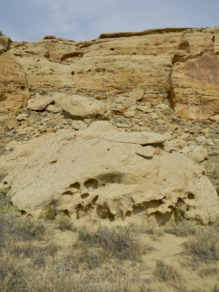
 Photo: Ekotyk, CC BY-SA 4.0 (via Wikimedia Commons)
- 1.9 mi
- round trip
- 499 ft
- climb
- 7,062 ft
- high point
- Out and back
- route
- Apr–Oct
- best months
Lybrooks Badlands Trail 2 is an easy hike on Bureau of Land Management land in the Farmington Field Office of New Mexico, about 1.85 miles long and roughly 3.7 miles round trip. The trail is an out-and-back with a middle climb profile, rising from about 6,903 feet to a high point of 7,062 feet before returning to the start. The steepest stretch comes at about 1.6 miles in, with a 7% grade, and the total elevation gain is about 499 feet for the round trip. The most comfortable months for a visit are typically May and September, when typical averages from a nearby weather station in Lybrook run from highs around 70°F to 75°F and lows in the low 40s. Winter is cold, with January highs near 39°F and lows around 16°F, and snow falls on a few days each month from December through March. The Lybrook Badlands Trail lies about 0.4 miles away and makes an easy pairing for a longer outing in the area.
Source: Roamze catalog (indexable pages within 10 miles, PostGIS distance)
- Lybrook Badlands TrailHiking · Next doorPhoto: Ekotyk, CC BY-SA 4.0 (via Wikimedia Commons)
 Ah-Shi-Sle-Pah-TrailHiking · ~32 min drivePhoto: Alexander Hatley, CC BY 2.0 (via Flickr)
- Los PinosHiking · ~1h 7m drive
- Navajo Lake Horse Trail 83Hiking · ~1h 7m drive
 South Mesa TrailHiking · ~40 min drivePhoto: Greg Willis from Denver, CO, usa, CC BY-SA 2.0 (via Wikimedia Commons)
 Wijiji Trail to Petroglyphs TrailHiking · ~33 min drivePhoto: PunkToad, CC BY 2.0 (via Flickr)
- PelonesHiking · ~1h 8m drive
- Tsin Kletsin TrailHiking · ~40 min drivePhoto: Greg Willis from Denver, CO, usa, CC BY-SA 2.0 (via Wikimedia Commons)
 KoW TrailHiking · ~36 min drivePhoto: snowpeak, CC BY 2.0 (via Flickr)
 De Na Zin Wilderness TrailHiking · ~42 min drivePhoto: Alexander Hatley, CC BY 2.0 (via Flickr)
Best time to visit Lybrooks Badlands Trail 2
Best months: April–October. Best months have typical highs of 55–85 °F, lows of 30 °F or warmer (32 °F where the station doesn't record snow), at most one snowy day and no more than 12 wet days.
Jan
39° / 16°
4 wet · 3 snow
Feb
44° / 20°
4 wet · 2 snow
Mar
53° / 27°
4 wet · 2 snow
Apr
60° / 33°
3 wet · 1 snow
May
70° / 42°
3 wet
Jun
81° / 52°
3 wet
Jul
84° / 56°
5 wet
Aug
81° / 54°
7 wet
Sep
75° / 48°
5 wet
Oct
63° / 36°
4 wet
Nov
49° / 25°
3 wet · 1 snow
Dec
39° / 15°
4 wet · 3 snow
Typical high / low (°F) and days with rain or snow, 1991–2020. Measured at Lybrook, NM, 3.4 mi away at 7,150 ft. Source: NOAA NCEI U.S. Climate Normals 1991–2020.

Map and trail data © OpenStreetMap contributors
