Big Warrior
- 0.1 mi
- distance
- 21 ft
- climb
- 6,038 ft
- high point
- Lollipop
- route
- Mar–May, Sep–Oct
- best months
Big Warrior is a short, easy hike on Bureau of Land Management land in the Farmington Field Office of New Mexico, about 0.08 miles long and rising just 21 feet from a low point of 6,011 feet to a high of 6,038 feet. The route is natural-surfaced, and the Bureau of Land Management's national datasets confirm that bikes and horses are not allowed here. Spring and fall are the most comfortable times to go. Typical averages from the nearby Navajo Dam weather station, which sits a few hundred feet lower, show May highs around 76°F and October highs near 69°F, while July averages about 92°F and January highs hover around 42°F. The hike takes about half an hour. Main Panel lies 0.3 miles away, and Crow Canyon Defensive Site and 44 Panel are each about 0.7 miles off. Farther out, Split Rock Pueblito is roughly 8.9 miles away.
- Main PanelHiking0.3 mi
- Crow Canyon Defensive SiteHiking0.7 mi
- 44 PanelHiking0.7 mi
- Largo Schoolhouse Defensive SiteHiking7.3 mi
- Split Rock PueblitoHiking8.9 mi
- Blanco WashCanoeing9.4 mi
Source: Roamze catalog (indexable pages within 10 miles, PostGIS distance)
 Lybrook Badlands TrailHiking · ~41 min drivePhoto: Ekotyk, CC BY-SA 4.0 (via Wikimedia Commons)
- Lybrooks Badlands Trail 2Hiking · ~41 min drivePhoto: Ekotyk, CC BY-SA 4.0 (via Wikimedia Commons)
- Navajo Lake Horse Trail 83Hiking · ~26 min drive
- Alien RunHiking · ~47 min drive
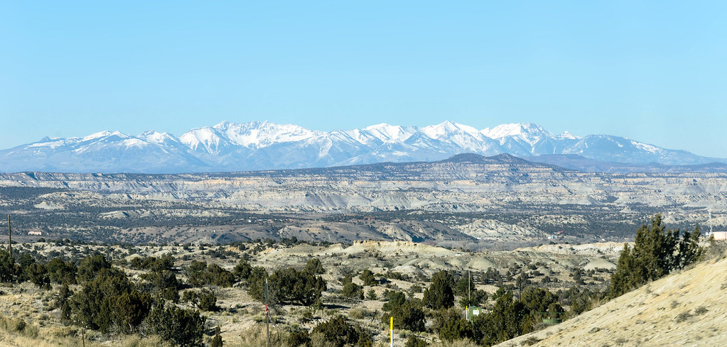 Bloomfield TrailHiking · ~44 min drivePhoto: RuggyBearLA, CC BY-SA 2.0 (via Flickr)
- Main PanelHiking · Next door
 De Na Zin Wilderness TrailHiking · ~45 min drivePhoto: Alexander Hatley, CC BY 2.0 (via Flickr)
- Crow Canyon Defensive SiteHiking · ~1 min drive
- Navajo Lake TrailsHiking · ~30 min drive
- 44 PanelHiking · ~1 min drive
Best time to visit Big Warrior
Best months: March–May and September–October. Best months have typical highs of 55–85 °F, lows of 30 °F or warmer (32 °F where the station doesn't record snow), at most one snowy day and no more than 12 wet days.
Jan
42° / 21°
5 wet · 2 snow
Feb
48° / 24°
5 wet · 1 snow
Mar
59° / 30°
5 wet · 1 snow
Apr
67° / 36°
4 wet
May
76° / 46°
3 wet
Jun
88° / 54°
3 wet
Jul
92° / 61°
6 wet
Aug
89° / 60°
8 wet
Sep
82° / 52°
6 wet
Oct
69° / 40°
5 wet
Nov
53° / 29°
4 wet
Dec
41° / 22°
5 wet · 1 snow
Typical high / low (°F) and days with rain or snow, 1991–2020. Measured at Navajo Dam, NM, 17.8 mi away at 5,770 ft. Source: NOAA NCEI U.S. Climate Normals 1991–2020.

