Sawmill
- May–Jun, Sep
- best months
- At 9,188 ftHigh camp: expect cold nights, even in summer
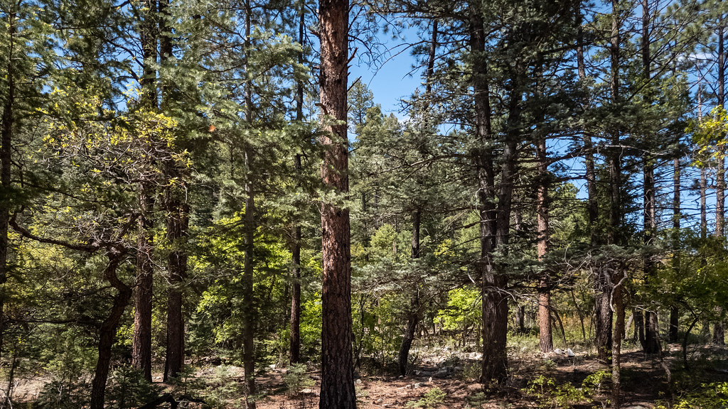
Sawmill is a campground in New Mexico at about 9,188 feet.
Local outfitters
- Angel Fire Luxury RV Resort13 mi away
- Taos Mountain Outfitters27 mi away
Not on Roamze yet. Their page has how to reach them.
Best time to go · May–Jun, Sep
Best time to visit Sawmill
Best months: May–June and September. Best months have typical highs of 55–85 °F, lows of 30 °F or warmer (32 °F where the station doesn't record snow), at most one snowy day and no more than 12 wet days.
Jan
39° / 5°
7 wet
Feb
42° / 10°
7 wet
Mar
49° / 18°
8 wet
Apr
56° / 24°
8 wet
May
66° / 32°
7 wet
Jun
77° / 38°
9 wet
Jul
79° / 44°
15 wet
Aug
77° / 43°
15 wet
Sep
72° / 35°
9 wet
Oct
62° / 25°
6 wet
Nov
49° / 15°
6 wet
Dec
39° / 6°
7 wet
Typical high / low (°F) and days with rain or snow, 1991–2020. Measured at Eagle Nest, NM, 9.1 mi away at 8,280 ft. The station sits about 900 ft lower than this place, so expect it a little cooler here. This station doesn't record snowfall. Source: NOAA NCEI U.S. Climate Normals 1991–2020.
Keep exploring — more campsites worth the drive
BED
Whistle Punk Camp
~2 min drive
Whistle Punk Camp is a campground in New Mexico at about 10,026 feet.
BED
Upper Sawmill Camp
~2 min drive
Upper Sawmill Camp is a campground in New Mexico at about 8,607 feet.
BED
Bailout Camp
~2 min drive
Bailout Camp is a campground in New Mexico at about 8,739 feet.
BED
Lower Sawmill Camp
~3 min drive
Lower Sawmill Camp is a campground in New Mexico at about 8,313 feet.
BED
Thunder Ridge Camp
~3 min drive
Thunder Ridge Camp is a campground in Texas at about 10,545 feet.
BED
Webster Parks Camp
~3 min drive
BED
Minnette Meadows Camp
~4 min drive
Minnette Meadows Camp is a campground in New Mexico at about 7,860 feet.
BED
Cyphers' Mine Camp
~4 min drive
Cyphers' Mine Camp is a campground in Texas at about 9,304 feet.
BED
Ute Park Pass
~4 min drive
BED
Maverick Campground
~4 min drive
Maverick Campground is a campground in New Mexico at about 7,538 feet. It is managed by the state park agency.
Map and trail data © OpenStreetMap contributors
