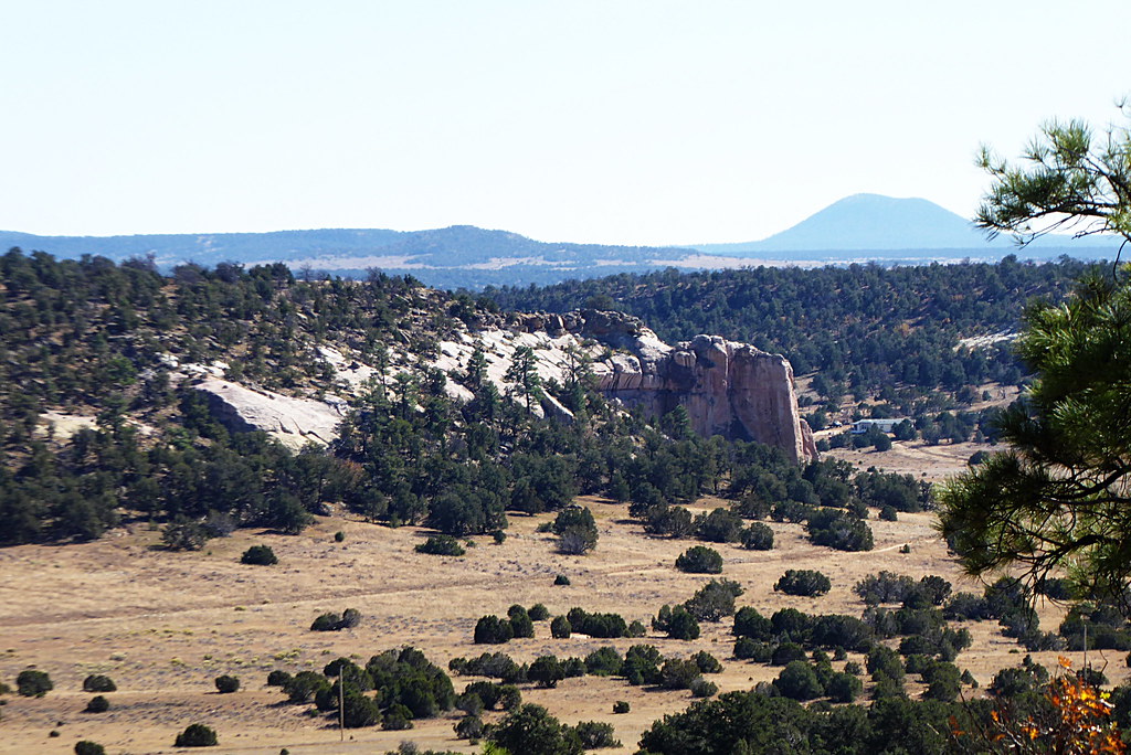
Pierced Rock
- 6,894 ft
- elevation
- May, Sep–Oct
- best months
Pierced Rock is a natural arch in McKinley County, New Mexico, at about 6,894 feet.
- Elevation
- 6,894 ft
Elevation from USGS 3D Elevation Program terrain data (about 10 m resolution).
- Window RockNatural arch · ~1h 16m drive
- Black Rock Natural BridgeNatural arch · ~1h 21m drive
- Coyote ArchNatural arch · ~1h 23m drive
- La Ventana Natural ArchNatural arch · ~1h 26m drive
- Woodpecker ArchNatural arch · ~36 min drive
Also worth it near here
- Nutria Reservoir Number 3Lake fishing · ~18 min drive
- (two track trail)Mountain biking · ~18 min drive
 Zuñi ButtesSummit · ~19 min drivePhoto: Unknown authorUnknown author or not provided, Public domain (via Wikimedia Commons)
- The FallsWaterfall · ~30 min drive
 Inscription Rock Trail LoopHiking · ~37 min drivePhoto: volkerschmidt2, Public Domain Dedication (CC0) (via Flickr)
Best time to visit Pierced Rock
Best months: May and September–October. Best months have typical highs of 55–85 °F, lows of 30 °F or warmer (32 °F where the station doesn't record snow), at most one snowy day and no more than 12 wet days.
Jan
48° / 17°
4 wet · 2 snow
Feb
53° / 20°
4 wet · 1 snow
Mar
61° / 24°
4 wet · 1 snow
Apr
68° / 29°
3 wet
May
77° / 36°
2 wet
Jun
88° / 45°
2 wet
Jul
90° / 54°
6 wet
Aug
88° / 53°
7 wet
Sep
82° / 45°
4 wet
Oct
71° / 33°
3 wet
Nov
59° / 23°
3 wet
Dec
49° / 16°
4 wet · 1 snow
Typical high / low (°F) and days with rain or snow, 1991–2020. Measured at Zuni, NM, 6.7 mi away at 6,311 ft. The station sits about 600 ft lower than this place, so expect it a little cooler here. Source: NOAA NCEI U.S. Climate Normals 1991–2020.
