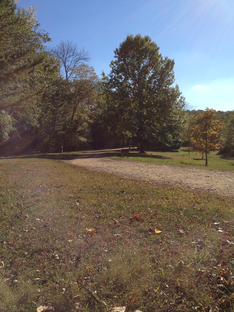
High Mountain
- 1,103 ft
- summit
- 3
- ways up
- Apr–Oct
- best months
High Mountain is a summit in New Jersey, about 2 miles from the town of Ringwood. Several trails sit close by, making it an easy anchor for a day of hiking in the area. For comfortable weather, September stands out, with typical highs around 76°F and lows near 56°F, while October cools to typical highs around 64°F. These are typical averages from a nearby weather station at Wanaque Raymond Dam, which sits about 850 feet below the summit, so temperatures up top run cooler. The Green Trail passes just 0.1 mile away, and the Esrkine Connector Trail and Ringwood-Ramapo Trail are within about half a mile. Climbers can find the Quarantine area about a mile off, and anglers can head to the Ramapo River, a little over 3 miles away.
Conditions and forecast
Daily highs and lows, wind and the chance of precipitation at the summit and route start for the next 7 days, from the Open-Meteo model.
- Summit elevation
- 1,103 ft
Elevation from USGS 3D Elevation Program terrain data (about 10 m resolution).
- Green TrailEasyabout 234 ft of climbing0.3 mi
- GreenEasyabout 630 ft of climbing1.8 mi round trip
- Hoeferlin Memorial TrailModerateabout 693 ft of climbing5.8 mi
Compare the routes Green Trail Green Hoeferlin Memorial Trail Climbing About 234 ft About 630 ft About 693 ft Round trip 0.3 mi 1.8 mi 5.8 mi Difficulty Easy Easy Moderate Terrain Hike Hike Hike Map © Mapbox © OpenStreetMap contributors Questions about High Mountain
How tall is High Mountain?
1,103 ft (336 m).
How many routes go to the summit of High Mountain?
3: Green Trail, Green and Hoeferlin Memorial Trail.
What is the shortest route up High Mountain?
Green Trail, about 0.3 mi.
- Millstone Hill909 ft · New Jersey1 route2.0 mi away
- Campgaw Mountain745 ft · New Jersey2 routes3.0 mi away
- Sleater Hill684 ft · New York1 route6.2 mi away
- Torne Mountain998 ft · New Jersey1 route7.0 mi away
- Raccoon Brook Hill1,166 ft · New York1 route7.6 mi away
- Pound Mountain1,029 ft · New York1 route7.8 mi away
- Green TrailHiking0.1 mi
- Esrkine Connector TrailHiking0.4 mi
- Ringwood-Ramapo TrailHiking0.6 mi
- QuarantineRock climbing1 mi
- Sector 2Rock climbing1 mi
- Easter Island BoulderRock climbing1 mi
- Ramapo RiverRiver fishing3.2 mi
- Wanaque RiverCanoeing4.5 mi
Source: Roamze catalog (indexable pages within 10 miles, PostGIS distance)
 Bearfort MountainSummit · ~15 min drivePhoto: Zeete, CC BY-SA 4.0 (via Wikimedia Commons)
 Mount PeterSummit · ~19 min drivePhoto: Zeete, CC BY-SA 4.0 (via Wikimedia Commons)
- Millstone HillSummit · ~3 min drive
- Campgaw MountainSummit · ~5 min drive
- Sleater HillSummit · ~11 min drive
- Torne MountainSummit · ~12 min drive
- Raccoon Brook HillSummit · ~13 min drive
- Pound MountainSummit · ~13 min drive
- Halfway MountainSummit · ~14 min drive
- Diamond MountainSummit · ~14 min drive
Best time to visit High Mountain
Best months: April–October. Best months have typical highs of 55–85 °F, lows of 30 °F or warmer (32 °F where the station doesn't record snow), at most one snowy day and no more than 12 wet days.
Jan
38° / 20°
10 wet
Feb
40° / 20°
8 wet
Mar
48° / 29°
10 wet
Apr
59° / 39°
11 wet
May
71° / 50°
12 wet
Jun
79° / 58°
11 wet
Jul
84° / 64°
10 wet
Aug
83° / 63°
10 wet
Sep
76° / 56°
8 wet
Oct
64° / 43°
9 wet
Nov
53° / 35°
8 wet
Dec
43° / 27°
9 wet
Typical high / low (°F) and days with rain or snow, 1991–2020. Measured at Wanaque Raymond Dam, NJ, 4.3 mi away at 245 ft. The station sits about 900 ft lower than this place, so expect it a little cooler here. This station doesn't record snowfall. Source: NOAA NCEI U.S. Climate Normals 1991–2020.