Green Trail
- 0.3 mi
- one way
- 234 ft
- climb
- 1,103 ft
- high point
- Point to point
- route
- Apr–Oct
- best months
Green Trail is a short, easy hike in Ringwood State Park in New Jersey, managed by the State Department of Natural Resources. The trail is 0.33 miles long, with a total elevation gain of 234 feet, and it rises from about 1,078 feet to a high point of 1,103 feet. The route is a point-to-point path, and the steepest stretch comes at about 0.22 miles in, where the grade reaches 19 percent. The trail is a quick outing, and the trip is estimated to take about half an hour. Bikes are allowed, so it works well for a short ride as well as a walk. For comfortable weather, late spring and early fall are the best bets. Typical averages from a nearby weather station at Wanaque Raymond Dam show May highs around 71°F and September highs around 76°F, though that station sits well below the trail, so temperatures on the higher ground run cooler. Several other routes lie close by. The Esrkine Connector Trail is 0.4 miles away, and the Ringwood-Ramapo Trail is 0.7 miles away. Climbers can find Quarantine about a mile off, and the Ramapo River offers fishing roughly 3 miles away.
Local outfitters
- Pier 13 Hoboken26 mi away
Not on Roamze yet. Their page has how to reach them.
- Esrkine Connector TrailHiking0.4 mi
- Ringwood-Ramapo TrailHiking0.7 mi
- QuarantineRock climbing1 mi
- Sector 2Rock climbing1 mi
- Easter Island BoulderRock climbing1 mi
- Yellow; SchuberHiking1.1 mi
- Ramapo RiverRiver fishing3.2 mi
- Wanaque RiverCanoeing4.5 mi
Source: Roamze catalog (indexable pages within 10 miles, PostGIS distance)
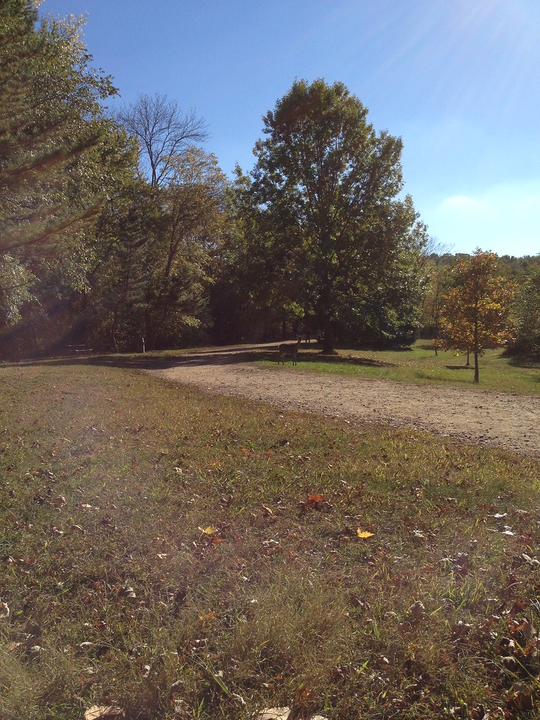 Reservoir LoopHiking · ~3 min drivePhoto: Flyinace2000, CC BY-SA 2.0 (via Flickr)
- White TrailHiking · ~3 min drivePhoto: Flyinace2000, CC BY-SA 2.0 (via Flickr)
- Vista Spur TrailHiking · ~4 min drivePhoto: Flyinace2000, CC BY-SA 2.0 (via Flickr)
- Yellow TrailHiking · ~2 min drive
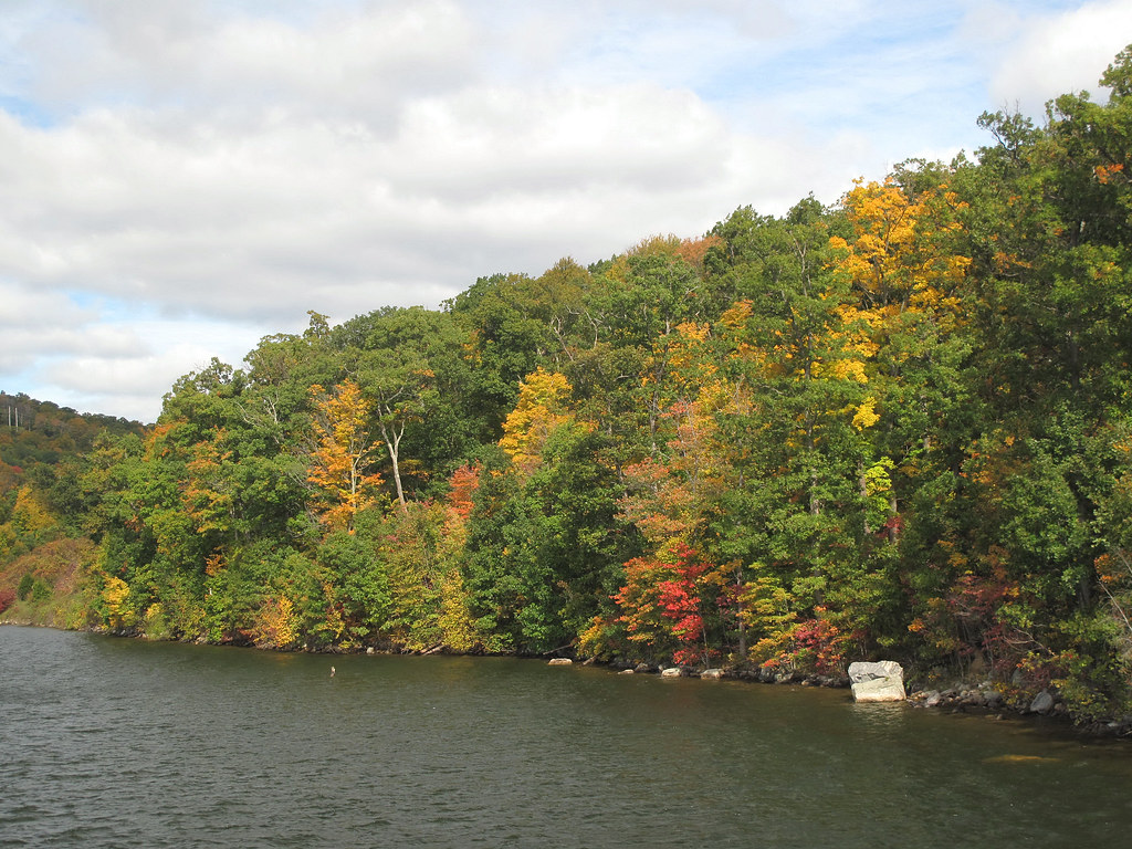 HT Connector TrailHiking · ~6 min drivePhoto: LukeGordon1, CC BY 2.0 (via Flickr)
- Yellow-Silver TrailHiking · ~2 min drive
- Esrkine Connector TrailHiking · Next door
- Five Ponds LoopHiking · ~2 min drive
- Ringwood-Ramapo TrailHiking · ~1 min drive
- Old GuardHiking · ~3 min drive
Best time to visit Green Trail
Best months: April–October. Best months have typical highs of 55–85 °F, lows of 30 °F or warmer (32 °F where the station doesn't record snow), at most one snowy day and no more than 12 wet days.
Jan
38° / 20°
10 wet
Feb
40° / 20°
8 wet
Mar
48° / 29°
10 wet
Apr
59° / 39°
11 wet
May
71° / 50°
12 wet
Jun
79° / 58°
11 wet
Jul
84° / 64°
10 wet
Aug
83° / 63°
10 wet
Sep
76° / 56°
8 wet
Oct
64° / 43°
9 wet
Nov
53° / 35°
8 wet
Dec
43° / 27°
9 wet
Typical high / low (°F) and days with rain or snow, 1991–2020. Measured at Wanaque Raymond Dam, NJ, 4.3 mi away at 245 ft. The station sits about 900 ft lower than this place, so expect it a little cooler here. This station doesn't record snowfall. Source: NOAA NCEI U.S. Climate Normals 1991–2020.
Route details
- Distance
- 0.3 mi
- Climbing
- About 234 ft
- Summit
- 1,103 ft
- Difficulty
- Easy
- Time
- About 0 hours
Other routes up High Mountain
Questions about this route
How long is the Green Trail on High Mountain?
About 0.3 mi.
How much elevation gain is on the Green Trail?
About 234 ft of climbing round trip.
How hard is the Green Trail?
It is rated easy.
How long does the Green Trail take?
About 0 hours round trip.
How many routes go up High Mountain?
3: Green Trail, Green and Hoeferlin Memorial Trail.
Conditions and forecast on High Mountain
Daily highs and lows, wind and the chance of precipitation at the summit and route start for the next 7 days, from the Open-Meteo model.
Map and trail data © OpenStreetMap contributors
