White Trail
- 0.8 mi
- loop
- 91 ft
- climb
- 855 ft
- high point
- Loop
- route
White Trail is a 0.82-mile loop in Moutain Way Park in New Jersey, on city land. The route rises to a high point of 855 feet, with a total elevation gain of 91 feet, and the steepest stretch comes at about 0.49 miles in, where the grade reaches 8 percent. The trail is rated moderate. The most comfortable months for a visit are typically late spring and early fall. Typical averages from a nearby weather station in Boonton show May highs around 71°F and September highs around 77°F, with July the warmest month at about 85°F. That station sits roughly 575 feet lower than the trail, so temperatures on the loop run cooler. The trail is short, and the estimated time is about half an hour. Beacon Hill Trail and Blue Trail both start within a tenth of a mile, and the Powder Mill Heights to Mountain Way Park Trail is about 0.4 miles away. For climbing, Parsippany Rock House is about 2.4 miles off.
- Beacon Hill TrailHiking0.1 mi
- Blue TrailHiking0.1 mi
- Powder Mill Heights to Mountain Way Park TrailHiking0.4 mi
 Parsippany Rock HouseRock climbingPhoto: Magpieturtle, CC BY 4.0 (via Wikimedia Commons)2.4 mi
- Legend Rock (AKA Big Rock)Rock climbing4.7 mi
- Cedar Lake BouldersRock climbing5.1 mi
- Great BrookCanoeing7.1 mi
 Passaic RiverCanoeingPhoto: The original uploader was Decumanus at English Wikipedia., CC BY-SA 3.0 (via Wikimedia Commons)7.3 mi
Source: Roamze catalog (indexable pages within 10 miles, PostGIS distance)
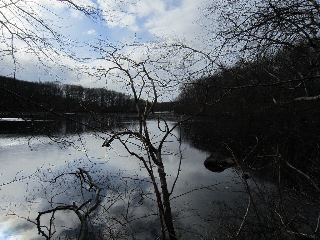 Boulevard Trolley TrailHiking · ~6 min drivePhoto: syvwlch, CC BY 2.0 (via Flickr)
 Orange Dot TrailHiking · ~8 min drivePhoto: syvwlch, CC BY 2.0 (via Flickr)
- Randolph TrailsHiking · ~5 min drive
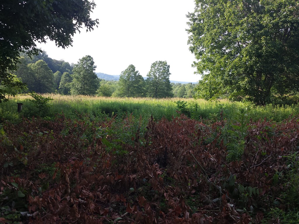 White TrailHiking · ~6 min drivePhoto: hhm8, CC BY 2.0 (via Flickr)
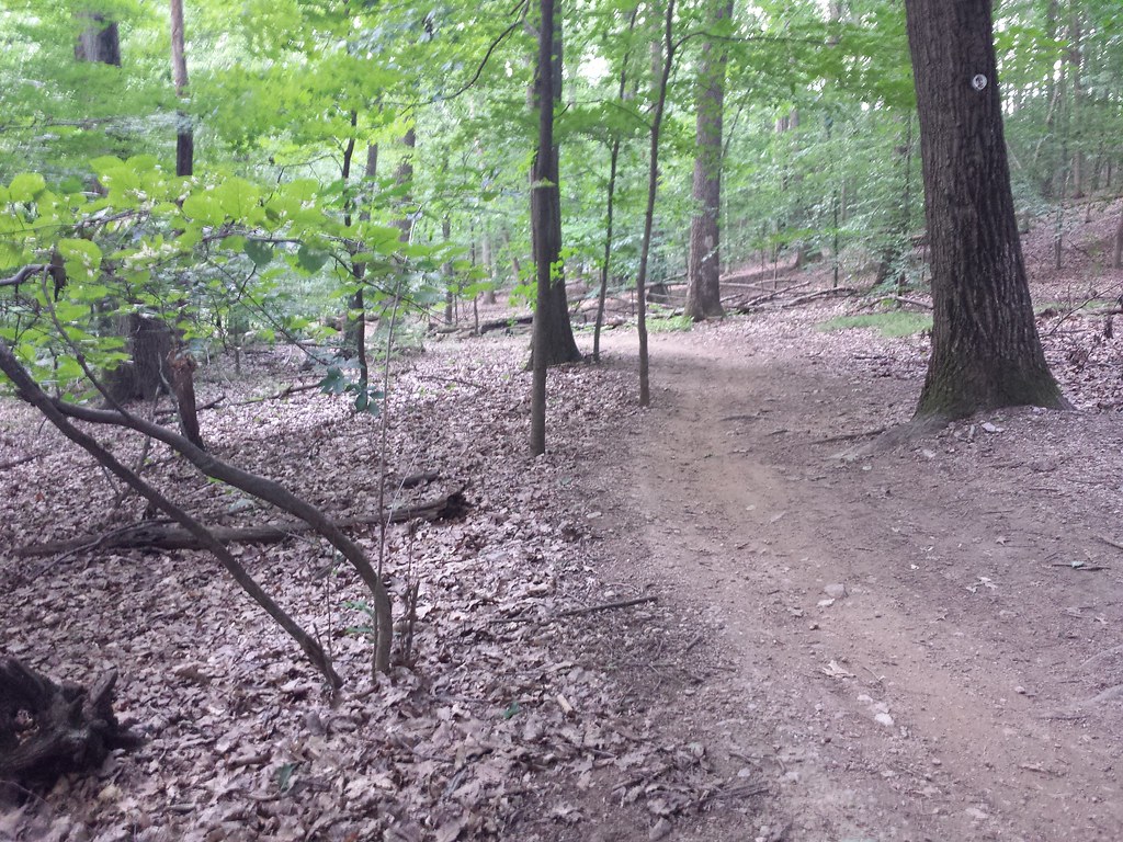 Yellow TrailHiking · ~8 min drivePhoto: hhm8, CC BY 2.0 (via Flickr)
 Yellow TrailHiking · ~6 min drivePhoto: hhm8, CC BY 2.0 (via Flickr)
- Yellow TrailHiking · ~1 min drive
- Red TrailHiking · ~7 min drivePhoto: hhm8, CC BY 2.0 (via Flickr)
- Yellow TrailHiking · ~6 min drive
- Sled RunHiking · ~7 min drivePhoto: syvwlch, CC BY 2.0 (via Flickr)
Map and trail data © OpenStreetMap contributors
