Sky Farm
Campground
Campground · 9.6 mi from the trail
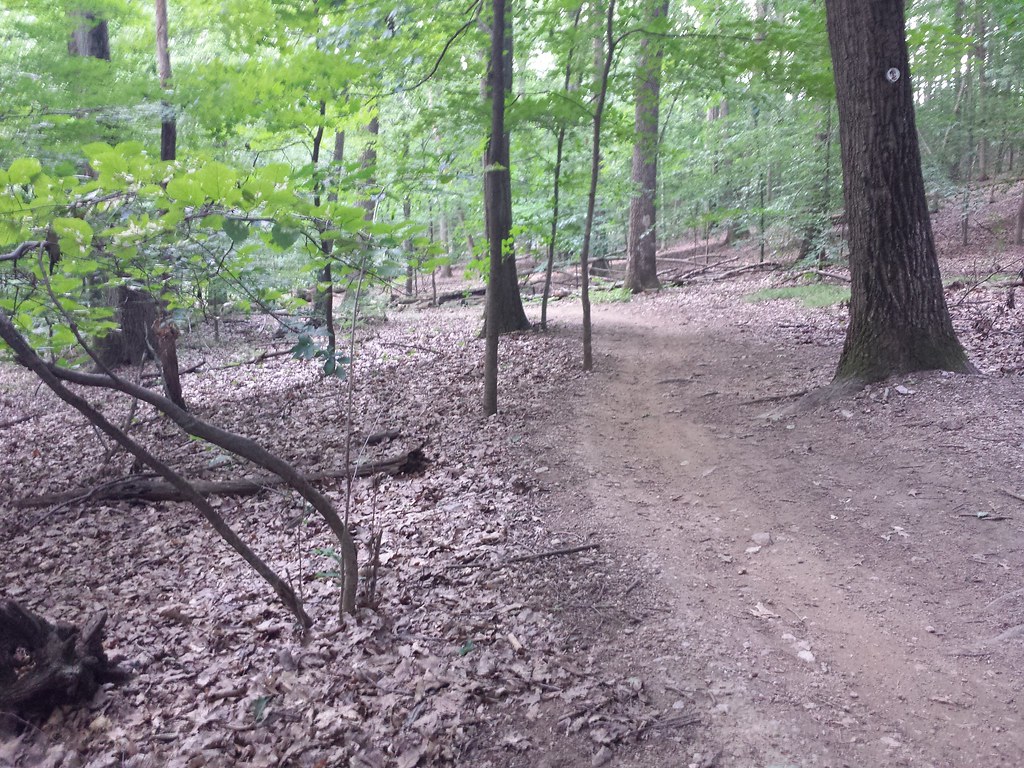 Photo: hhm8, CC BY 2.0 (via Flickr)
Yellow Trail is a 3.9-mile moderate hike in Lewis Morris County Park in New Jersey, on county land. The route gains about 450 feet in elevation, with the high point at 628 feet and the low at 368 feet. The steepest stretch comes early, around 0.45 miles in, with a grade of about 19 percent. The trail is open to both horses and bikes, so riders and equestrians can plan a trip on it. The estimated time for the hike is about 1.5 hours. For comfortable weather, aim for late spring or early fall. Typical averages from a nearby weather station in Boonton show May highs around 71°F and September highs around 77°F, with July the warmest month at about 85°F. That station sits roughly 350 feet lower than the trail's high point, so temperatures on the higher ground run a little cooler. The Blue / Yellow Trail and Doe Meadow Road both lie within half a mile. Legend Rock (AKA Big Rock) is about 1.7 miles away, and the Passaic River offers canoeing about 2.8 miles off.
Sky Farm
Campground
The Wicker Basket
Restaurant
 If it rainsZeete, CC BY-SA 4.0 · Wikimedia Commons
Places © OpenStreetMap contributors · Photos: Zeete, CC BY-SA 4.0 (commons)
More in HackettstownNot on Roamze yet. Their page has how to reach them.
Best months: April and June–October. Best months have typical highs of 55–85 °F, lows of 30 °F or warmer (32 °F where the station doesn't record snow), at most one snowy day and no more than 12 wet days.
Jan
38° / 21°
11 wet
Feb
40° / 22°
10 wet
Mar
48° / 29°
11 wet
Apr
61° / 39°
12 wet
May
71° / 49°
13 wet
Jun
81° / 59°
12 wet
Jul
85° / 64°
11 wet
Aug
84° / 62°
10 wet
Sep
77° / 54°
9 wet
Oct
64° / 42°
11 wet
Nov
53° / 33°
9 wet
Dec
42° / 26°
11 wet
Typical high / low (°F) and days with rain or snow, 1991–2020. Measured at Boonton 1 Se, NJ, 10.7 mi away at 280 ft. This station doesn't record snowfall. Source: NOAA NCEI U.S. Climate Normals 1991–2020.
 Photo: hhm8, CC BY 2.0 (via Flickr)
Blue / Yellow Trail
Next door
0.62-mile out-and-back trail in New Jersey with 229 ft of elevation gain.
 Photo: Jared Kofsky, CC BY-SA 3.0 (via Wikimedia Commons)
Yellow Trail
~2 min drive
Easy 2.24-mile point-to-point trail in New Jersey.
Photo: hhm8, CC BY 2.0 (via Flickr)Doe Meadow Road
Next door
1.09-mile out-and-back trail in New Jersey with 278 ft gain
HIKE
White Trail
Next door
0.61-mile point-to-point trail in New Jersey with 155 ft gain
 Photo: Jared Kofsky, CC BY-SA 3.0 (via Wikimedia Commons)
Grand Loop Trail
~1 min drive
1.37-mile out-and-back trail in New Jersey with 324 ft elevation gain
 Photo: Ken Lund, CC BY-SA 2.0 (via Flickr)
Unknown
~2 min drive
0.92-mile out-and-back trail in New Jersey with 63 ft elevation gain.
Photo: Ken Lund, CC BY-SA 2.0 (via Flickr)Blue Trail
~2 min drive
0.58-mile point-to-point hike in New Jersey with 113 ft gain.
Photo: Jared Kofsky, CC BY-SA 3.0 (via Wikimedia Commons)Orange Trail
~2 min drive
0.60-mile point-to-point trail in New Jersey with 79 ft gain.
Photo: Jared Kofsky, CC BY-SA 3.0 (via Wikimedia Commons)Aqueduct Trail
~3 min drive
Historic point-to-point trail following New Jersey's aqueduct system.
Photo: Jared Kofsky, CC BY-SA 3.0 (via Wikimedia Commons)Blue Trail
~3 min drive
A 2.88-mile point-to-point trail through New Jersey woodland.
Map and trail data © OpenStreetMap contributors

