Walking Path
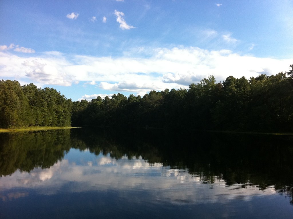
 Photo: James Loesch, CC BY 2.0 (via Flickr)
- 14.6 mi
- round trip
- 2,915 ft
- climb
- 1,295 ft
- high point
- Out and back
- route
- Apr–Jun, Aug–Nov
- best months
Walking Path is an out-and-back hike on county land in Berkeley Island Park in New Jersey. It is a long, steep trip that rises from sea level to 1,295 feet, with a total elevation gain of 2,915 feet over a 29-mile round trip. The hike is rated hard, and an estimated 11 hours are needed for the full journey. The most comfortable months for a visit are typically May and September. A nearby weather station in Toms River records typical average highs of about 71°F in May and 77°F in September, with July highs averaging around 86°F. Other trails in the area include the Barnegat Branch Trail, about 2.4 miles away, and the Walking Trail and Sweetwater Trail, both within about 5 miles.
- Barnegat Branch TrailHiking2.4 mi
- Walking TrailHiking4.1 mi
- Sweetwater TrailHiking4.8 mi
- Mill Pond TrailHiking5.1 mi
- Tindey Hiking TrailHiking5.7 mi
- BikeHiking5.7 mi
 Red TrailHikingPhoto: @ravi, CC BY 2.0 (via Flickr)7.3 mi
- Yellow TrailHiking7.5 mi
Source: Roamze catalog (indexable pages within 10 miles, PostGIS distance)
- White-Red TrailHiking · ~12 min drivePhoto: @ravi, CC BY 2.0 (via Flickr)
 Mount Misery Trail (White)Hiking · ~36 min drivePhoto: aleahey, CC BY-SA 2.0 (via Flickr)
- Red TrailHiking · ~13 min drivePhoto: @ravi, CC BY 2.0 (via Flickr)
- Yellow TrailHiking · ~13 min drive
- Blue TrailHiking · ~13 min drivePhoto: @ravi, CC BY 2.0 (via Flickr)
- Hiking TrailHiking · ~14 min drive
 Cedar Bonnet TrailHiking · ~26 min drivePhoto: James Loesch, CC BY 2.0 (via Flickr)
- Edgar Felix BikewayHiking · ~34 min drive
- Lebanon Trail (Orange)Hiking · ~35 min drivePhoto: aleahey, CC BY-SA 2.0 (via Flickr)
- Glassworks Trail (Green)Hiking · ~35 min drive
Also worth it near here
Best time to visit Walking Path
Best months: April–June and August–November. Best months have typical highs of 55–85 °F, lows of 30 °F or warmer (32 °F where the station doesn't record snow), at most one snowy day and no more than 12 wet days.
Jan
42° / 22°
8 wet
Feb
44° / 22°
7 wet
Mar
51° / 28°
9 wet
Apr
62° / 38°
9 wet
May
71° / 49°
9 wet
Jun
80° / 58°
8 wet
Jul
86° / 64°
8 wet
Aug
84° / 62°
8 wet
Sep
77° / 53°
8 wet
Oct
67° / 42°
7 wet
Nov
56° / 32°
8 wet
Dec
47° / 27°
9 wet
Typical high / low (°F) and days with rain or snow, 1991–2020. Measured at Toms River, NJ, 6.9 mi away at 10 ft. The station sits about 1,300 ft lower than this place, so expect it a little cooler here. This station doesn't record snowfall. Source: NOAA NCEI U.S. Climate Normals 1991–2020.
