Tindey Hiking Trail
- 3.7 mi
- loop
- 34 ft
- climb
- 69 ft
- high point
- Loop
- route
- Apr–Jun, Aug–Nov
- best months
Clear today
Weather is good · OpenWeather · checked 10 h ago
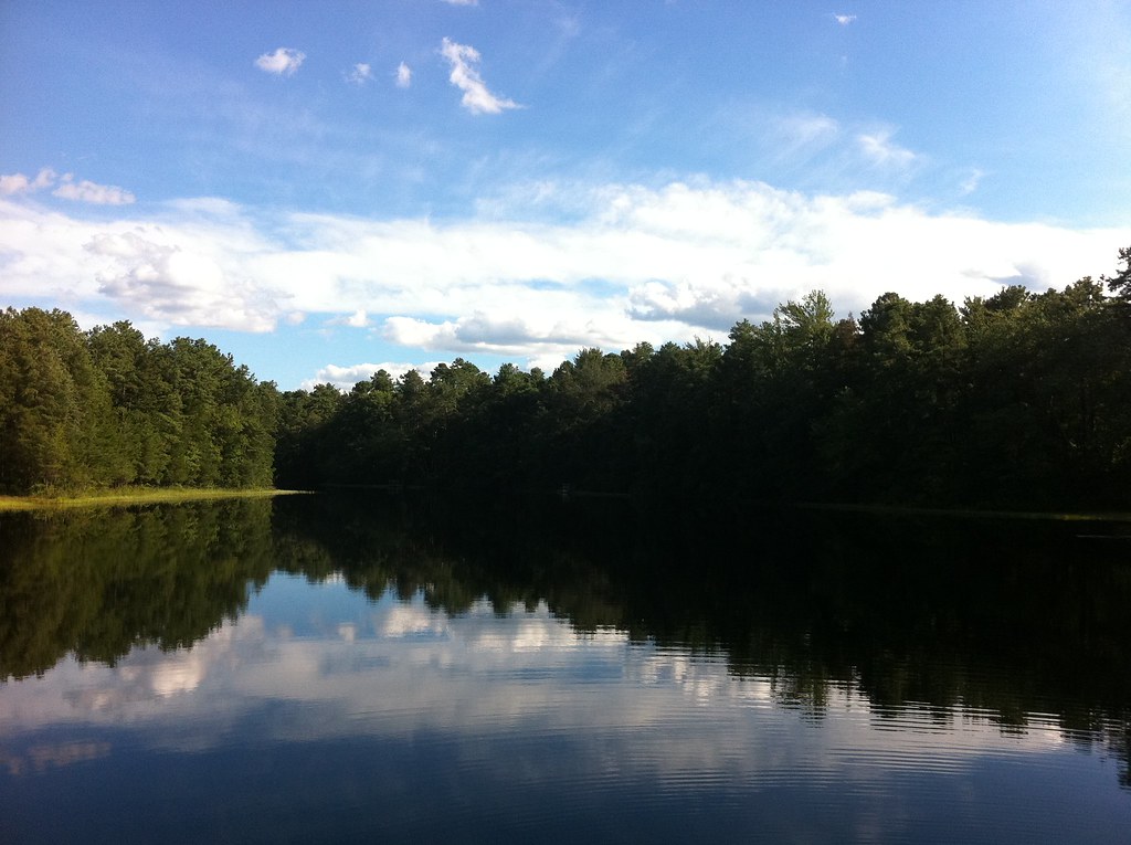
Tindey Hiking Trail is a short, easy loop in Jakes Branch Park on county land in New Jersey, about 3.7 miles long with a total climb of just 34 feet. The path is low and gentle, with a start elevation around 41 feet and a high point of 69 feet. The steepest section, about 3% grade, comes roughly 1.7 miles into the hike. Late spring and early fall tend to be the most comfortable times to go. Typical averages from a nearby weather station in Toms River put May highs around 71°F and September highs around 77°F, with July the warmest month at about 86°F. The trail is easy to pair with other walks in the area. Bike is just 0.1 mile away, Mill Pond Trail is about 1.9 miles off, Sweetwater Trail is about 2.4 miles away, and Union Branch, a canoeing route, is about 7.1 miles away.
- BikeHiking0.1 mi
- Mill Pond TrailHiking1.9 mi
- Sweetwater TrailHiking2.4 mi
- Walking TrailHiking3.4 mi
- Barnegat Branch TrailHiking4.6 mi
 Walking PathHikingPhoto: James Loesch, CC BY 2.0 (via Flickr)5.7 mi
- Yellow TrailHiking6.2 mi
- Union BranchCanoeing7.1 mi
Source: Roamze catalog (indexable pages within 10 miles, PostGIS distance)
- Walking PathHiking · ~10 min drivePhoto: James Loesch, CC BY 2.0 (via Flickr)
 White-Red TrailHiking · ~10 min drivePhoto: @ravi, CC BY 2.0 (via Flickr)
 Mount Misery Trail (White)Hiking · ~29 min drivePhoto: aleahey, CC BY-SA 2.0 (via Flickr)
- Red TrailHiking · ~11 min drivePhoto: @ravi, CC BY 2.0 (via Flickr)
- Yellow TrailHiking · ~11 min drive
- Blue TrailHiking · ~11 min drivePhoto: @ravi, CC BY 2.0 (via Flickr)
- Hiking TrailHiking · ~18 min drive
- Lebanon Trail (Orange)Hiking · ~28 min drivePhoto: aleahey, CC BY-SA 2.0 (via Flickr)
- Glassworks Trail (Green)Hiking · ~28 min drive
- Batona Trail (Former Route)Hiking · ~29 min drivePhoto: aleahey, CC BY-SA 2.0 (via Flickr)
Best time to visit Tindey Hiking Trail
Best months: April–June and August–November. Best months have typical highs of 55–85 °F, lows of 30 °F or warmer (32 °F where the station doesn't record snow), at most one snowy day and no more than 12 wet days.
Jan
42° / 22°
8 wet
Feb
44° / 22°
7 wet
Mar
51° / 28°
9 wet
Apr
62° / 38°
9 wet
May
71° / 49°
9 wet
Jun
80° / 58°
8 wet
Jul
86° / 64°
8 wet
Aug
84° / 62°
8 wet
Sep
77° / 53°
8 wet
Oct
67° / 42°
7 wet
Nov
56° / 32°
8 wet
Dec
47° / 27°
9 wet
Typical high / low (°F) and days with rain or snow, 1991–2020. Measured at Toms River, NJ, 1.8 mi away at 10 ft. This station doesn't record snowfall. Source: NOAA NCEI U.S. Climate Normals 1991–2020.
Map and trail data © OpenStreetMap contributors
