Sky Farm
Campground
Campground · 9.5 mi from the trail
Red Trail is a short, easy hike in New Jersey on city-managed land, starting and ending at roughly 650 feet and climbing to a high point of about 652 feet on a rolling, out-and-back route. The total round trip gain is about 355 feet, and the steepest part comes near the beginning at about 6%, so the trail suits a quick outing on foot. For timing, late spring and early fall are the most comfortable stretches. Typical averages from a nearby weather station show May highs around 72°F and September highs around 78°F, while July averages about 86°F and January highs sit near 39°F. That station sits well below the trail, so temperatures on the higher ground run cooler. The hike takes about half an hour, and the White Trail lies just 0.3 miles away. The Blue Trail and Orange Trail are both within about a mile. Paddlers can reach the Passaic River about 2.7 miles off.
Sky Farm
Campground
 If it rainsZeete, CC BY-SA 4.0 · Wikimedia Commons
Places © OpenStreetMap contributors, Places © Overture Maps Foundation · Photos: Zeete, CC BY-SA 4.0 (commons)
More in HackettstownNot on Roamze yet. Their page has how to reach them.
 Blue TrailHikingPhoto: hhm8, CC BY 2.0 (via Flickr)1 mi
 Passaic RiverCanoeingPhoto: The original uploader was Decumanus at English Wikipedia., CC BY-SA 3.0 (via Wikimedia Commons)2.7 mi
 Parsippany Rock HouseRock climbingPhoto: Magpieturtle, CC BY 4.0 (via Wikimedia Commons)6.9 mi
Source: Roamze catalog (indexable pages within 10 miles, PostGIS distance)
Blue TrailHiking · ~2 min drivePhoto: hhm8, CC BY 2.0 (via Flickr) Yellow TrailHiking · ~3 min drivePhoto: Jared Kofsky, CC BY-SA 3.0 (via Wikimedia Commons)Red TrailHiking · ~2 min drivePhoto: hhm8, CC BY 2.0 (via Flickr)
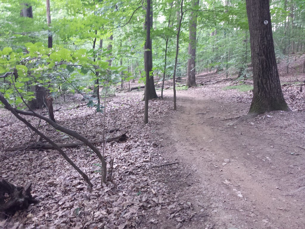 Yellow TrailHiking · ~4 min drivePhoto: hhm8, CC BY 2.0 (via Flickr)Yellow TrailHiking · ~2 min drivePhoto: hhm8, CC BY 2.0 (via Flickr)
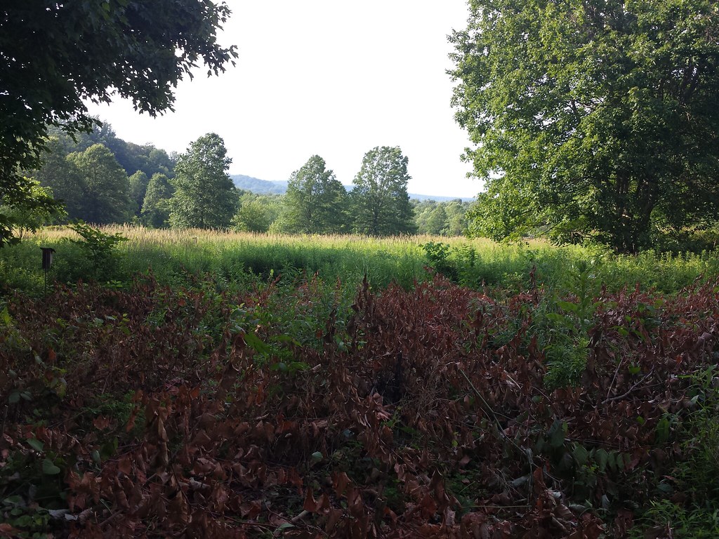 White TrailHiking · ~2 min drivePhoto: hhm8, CC BY 2.0 (via Flickr)Blue TrailHiking · ~2 min drivePhoto: Jared Kofsky, CC BY-SA 3.0 (via Wikimedia Commons)
 Primrose Brook TrailHiking · ~3 min drivePhoto: Jared Kofsky, CC BY-SA 3.0 (via Wikimedia Commons)
Also worth it near here
Passaic RiverCanoeing · ~5 min drivePhoto: The original uploader was Decumanus at English Wikipedia., CC BY-SA 3.0 (via Wikimedia Commons)Parsippany Rock HouseRock climbing · ~12 min drivePhoto: Magpieturtle, CC BY 4.0 (via Wikimedia Commons)Best months: April–June and August–October. Best months have typical highs of 55–85 °F, lows of 30 °F or warmer (32 °F where the station doesn't record snow), at most one snowy day and no more than 12 wet days.
Jan
39° / 22°
9 wet
Feb
42° / 23°
8 wet
Mar
50° / 31°
10 wet
Apr
62° / 40°
11 wet
May
72° / 50°
12 wet
Jun
82° / 60°
11 wet
Jul
86° / 66°
11 wet
Aug
85° / 64°
11 wet
Sep
78° / 56°
10 wet
Oct
66° / 44°
10 wet
Nov
54° / 35°
9 wet
Dec
44° / 28°
10 wet
Typical high / low (°F) and days with rain or snow, 1991–2020. Measured at Canoe Brook, NJ, 8.3 mi away at 180 ft. This station doesn't record snowfall. Source: NOAA NCEI U.S. Climate Normals 1991–2020.
Map and trail data © OpenStreetMap contributors
