Camp Deeny Riback
Campground
Campground · 7.0 mi from the trail
Randolph Trails is an easy out-and-back hike in New Jersey, about 0.6 miles from the community of Calais Crossroads. The route is 3.4 miles long, with a total elevation gain of 327 feet, and it starts and ends at about 944 feet, reaching a high point of 1,041 feet. The steepest stretch comes early, at about 0.28 miles in, with a grade of 12 percent. For comfortable weather, aim for late spring or early fall. Typical averages from a nearby weather station in Boonton show May highs around 71°F and September highs around 77°F, while July averages about 85°F. That station sits roughly 760 feet lower than the trail's high point, so temperatures on the higher ground run cooler. Several other outings lie within a few miles. Legend Rock (AKA Big Rock) is a climbing area about 1.7 miles away, and the Yellow Trail and Pink Trail are both hiking options within about 2 miles. The Passaic River, about 6 miles off, offers canoeing.
Camp Deeny Riback
Campground
 If it rainsZeete, CC BY-SA 4.0 · Wikimedia Commons
Places © OpenStreetMap contributors, Places © Overture Maps Foundation · Photos: Zeete, CC BY-SA 4.0 (commons)
More in HackettstownNot on Roamze yet. Their page has how to reach them.
 Passaic RiverCanoeingPhoto: The original uploader was Decumanus at English Wikipedia., CC BY-SA 3.0 (via Wikimedia Commons)6 mi
 Parsippany Rock HouseRock climbingPhoto: Magpieturtle, CC BY 4.0 (via Wikimedia Commons)6.9 mi
Source: Roamze catalog (indexable pages within 10 miles, PostGIS distance)
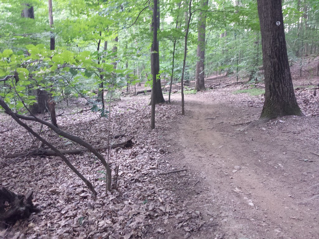 Yellow TrailHiking · ~6 min drivePhoto: hhm8, CC BY 2.0 (via Flickr)
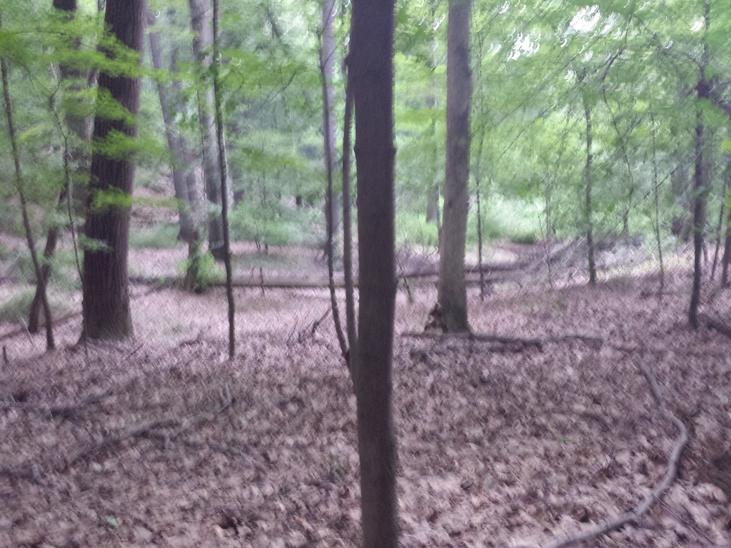 Blue / Yellow TrailHiking · ~6 min drivePhoto: hhm8, CC BY 2.0 (via Flickr)Doe Meadow RoadHiking · ~6 min drivePhoto: hhm8, CC BY 2.0 (via Flickr)
 Grand Loop TrailHiking · ~7 min drivePhoto: Jared Kofsky, CC BY-SA 3.0 (via Wikimedia Commons)
 Blue TrailHiking · ~7 min drivePhoto: Ken Lund, CC BY-SA 2.0 (via Flickr)
Best months: April and June–October. Best months have typical highs of 55–85 °F, lows of 30 °F or warmer (32 °F where the station doesn't record snow), at most one snowy day and no more than 12 wet days.
Jan
38° / 21°
11 wet
Feb
40° / 22°
10 wet
Mar
48° / 29°
11 wet
Apr
61° / 39°
12 wet
May
71° / 49°
13 wet
Jun
81° / 59°
12 wet
Jul
85° / 64°
11 wet
Aug
84° / 62°
10 wet
Sep
77° / 54°
9 wet
Oct
64° / 42°
11 wet
Nov
53° / 33°
9 wet
Dec
42° / 26°
11 wet
Typical high / low (°F) and days with rain or snow, 1991–2020. Measured at Boonton 1 Se, NJ, 10.7 mi away at 280 ft. The station sits about 800 ft lower than this place, so expect it a little cooler here. This station doesn't record snowfall. Source: NOAA NCEI U.S. Climate Normals 1991–2020.
Map and trail data © OpenStreetMap contributors
