Swartswood Day Use Area
Campground
Campground · 0.4 mi from the trail
Passage Trail is a short, easy hike in Swartswood State Park in New Jersey, managed by the State Department of Natural Resources. The town of Swartswood lies about a mile away. The trail is an out-and-back of roughly 0.8 miles, with a total climb of about 108 feet. The route is mostly flat, and the steepest stretch comes at about 0.35 miles in, with a grade of about 3 percent. The trail starts and ends at nearly the same elevation, so the round trip is a gentle walk with little change in height. For comfortable weather, aim for late spring or early fall. Typical averages from a nearby weather station in Newton put May highs around 70°F and September highs around 75°F, with July the warmest month at about 84°F. Several other trails sit close by. Spring Lake Trail and Sinkhole Trail are each about 0.2 miles away, and Emmons Path Trail is about 0.4 miles off. Climbers can find bouldering Northwest NJ about 5 miles away.
Swartswood Day Use Area
Campground
Kathy's Restaurant
Restaurant
 If it rainsZeete, CC BY-SA 4.0 · Wikimedia Commons
Zinc mine and museum in Ogdensburg, New Jersey
Places © OpenStreetMap contributors · Photos: Zeete, CC BY-SA 4.0 (commons)
More in HackettstownNot on Roamze yet. Their page has how to reach them.
Best months: April–October. Best months have typical highs of 55–85 °F, lows of 30 °F or warmer (32 °F where the station doesn't record snow), at most one snowy day and no more than 12 wet days.
Jan
37° / 17°
Feb
40° / 19°
Mar
48° / 28°
Apr
61° / 38°
May
70° / 48°
Jun
80° / 56°
Jul
84° / 62°
Aug
83° / 60°
Sep
75° / 52°
Oct
64° / 41°
Nov
52° / 32°
Dec
41° / 24°
Typical high / low (°F) and days with rain or snow, 1991–2020. Measured at Newton, NJ, 3.2 mi away at 605 ft. This station doesn't record snowfall. Source: NOAA NCEI U.S. Climate Normals 1991–2020.
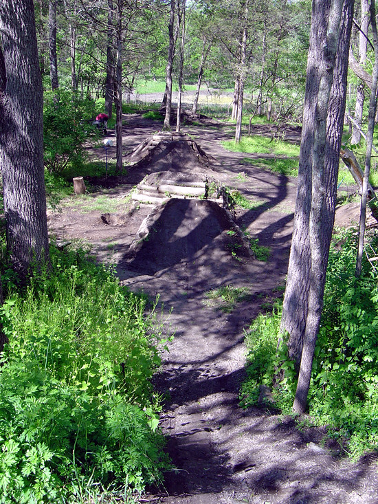 Photo: _jmeeter, CC BY-SA 2.0 (via Flickr)
Limestone Trail
~1 min drive
0.48-mile out-and-back hike in New Jersey with 199 ft elevation gain.
Photo: _jmeeter, CC BY-SA 2.0 (via Flickr)Bear Claw Trail
~1 min drive
0.61-mile out-and-back trail in New Jersey with 146 ft of elevation gain.
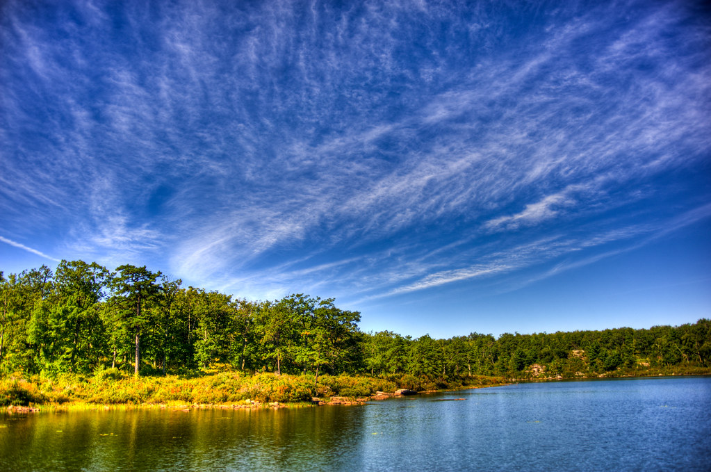 Photo: pennuja, CC BY 2.0 (via Flickr)
Buttermilk Falls Trail
~8 min drive
1.45-mile point-to-point trail in New Jersey with 1,038 ft of elevation loss
Photo: _jmeeter, CC BY-SA 2.0 (via Flickr)Duck Pond Trail
~1 min drive
Easy out-and-back pond walk in New Jersey.
Photo: pennuja, CC BY 2.0 (via Flickr)Unmaintained Trail
~9 min drive
1.78-mile out-and-back trail in New Jersey with 830 ft elevation gain
HIKE
Blue Mt Lake Trail
~10 min drive
14.62-mile out-and-back trail in New Jersey with 1,889 ft elevation gain
 Photo: pennuja, CC BY 2.0 (via Flickr)
Crater Lake Loop Trail
~9 min drive
Crater Lake Loop Trail is a point-to-point trail in New Jersey, 0.84 miles with 289 ft gain.
HIKE
Great Valley Trail
~3 min drive
8.8-mile out-and-back trail in New Jersey with 1,512 ft elevation gain
Photo: pennuja, CC BY 2.0 (via Flickr)Hemlock Pond Trail
~9 min drive
0.82-mile out-and-back trail in New Jersey with 330 ft elevation gain.
HIKE
Willow Crest Trail
~5 min drive
2.62-mile loop trail in New Jersey with 566 ft of elevation gain.
Map and trail data © OpenStreetMap contributors
