Camp Lewis
Campground
Campground · 1.2 mi from the trail
Oreland Rail Trail is a short, easy hike in New Jersey, about 1.75 miles long and rising about 64 feet from start to finish. It is a point-to-point route, and the trail network it sits on is labeled as lwn. The nearest town is Marcella, about 1.2 miles away. The trail is a low-effort outing. It starts at roughly 956 feet and reaches a high of 973 feet, with the steepest stretch at about 1.3 miles in, where the grade reaches about 5%. The total descent is about 132 feet, so the route is roughly balanced between a slight climb and a slight drop. The weather is most comfortable in late spring and early fall. Typical averages from a nearby weather station show May highs around 70°F and September highs around 75°F, with July the warmest month at about 83°F. The trail is open to both bikes and horses, so it works for a range of outings. For more time on foot, Hudsonia Overlook Trail is about 0.6 miles away and Up And Over Trail about 0.8 miles. Paddlers can head to the Rockaway River, about 3.6 miles off, and Lake Hopatcong offers fishing about 7.9 miles away.
Camp Lewis
Campground
Telemark Pizza
Restaurant
 If it rainsJerrye & Roy Klotz, MD, CC BY-SA 3.0 · Wikimedia Commons
Boonton Historical Society and Museum
Museum
Historical society and museum in Boonton, New Jersey
Places © OpenStreetMap contributors · Photos: Jerrye & Roy Klotz, MD, CC BY-SA 3.0 (commons)
More in HackettstownNot on Roamze yet. Their page has how to reach them.
 Rockaway RiverCanoeingPhoto: Zeete, CC BY-SA 4.0 (via Wikimedia Commons)3.6 mi
Source: Roamze catalog (indexable pages within 10 miles, PostGIS distance)
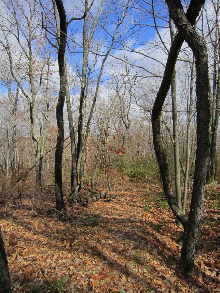 Wildcat Ridge TrailHiking · ~3 min drivePhoto: syvwlch, CC BY 2.0 (via Flickr)Four Birds TrailHiking · ~3 min drivePhoto: syvwlch, CC BY 2.0 (via Flickr)Splitrock TrailHiking · ~3 min drivePhoto: syvwlch, CC BY 2.0 (via Flickr)
 Hibernia Brook TrailHiking · ~4 min drivePhoto: syvwlch, CC BY 2.0 (via Flickr)
 Flyway SpurHiking · ~4 min drivePhoto: syvwlch, CC BY 2.0 (via Flickr)
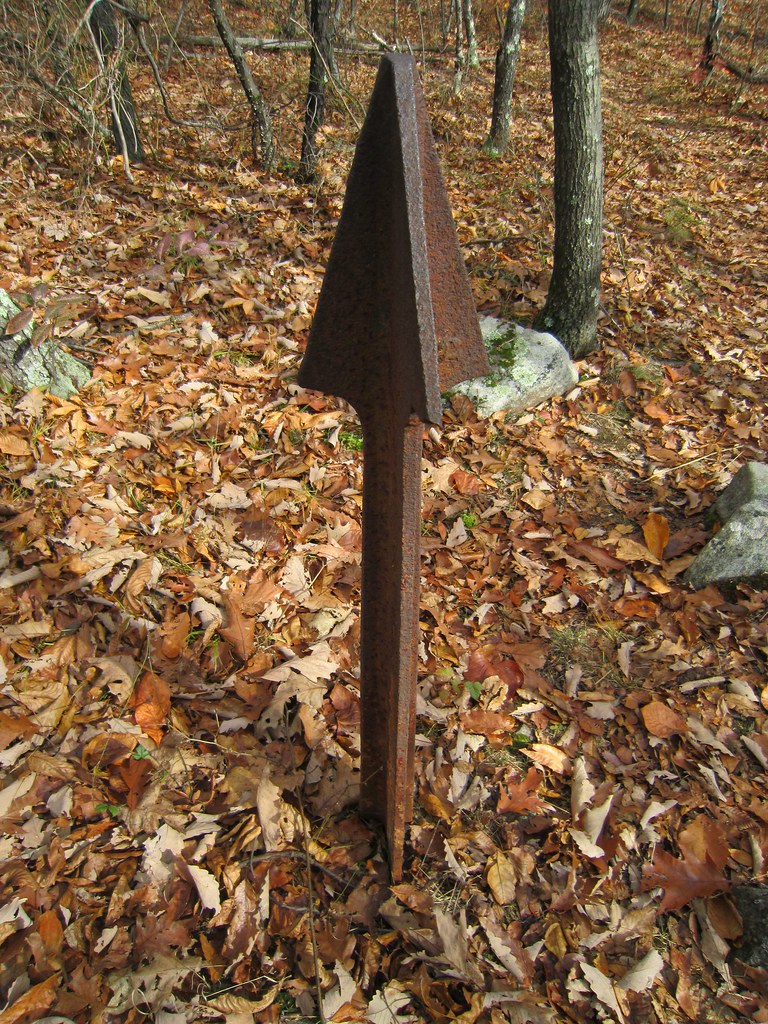 Beach Glen TrailHiking · ~4 min drivePhoto: syvwlch, CC BY 2.0 (via Flickr)Old Koehler TrailHiking · ~4 min drivePhoto: syvwlch, CC BY 2.0 (via Flickr)Righter Mine TrailHiking · ~4 min drivePhoto: syvwlch, CC BY 2.0 (via Flickr)
 MeridenHiking · ~4 min drivePhoto: syvwlch, CC BY 2.0 (via Flickr)Meriden TrailHiking · ~5 min drivePhoto: syvwlch, CC BY 2.0 (via Flickr)
Map and trail data © OpenStreetMap contributors
