Camp Lewis
Campground
Campground · 1.4 mi from the trail
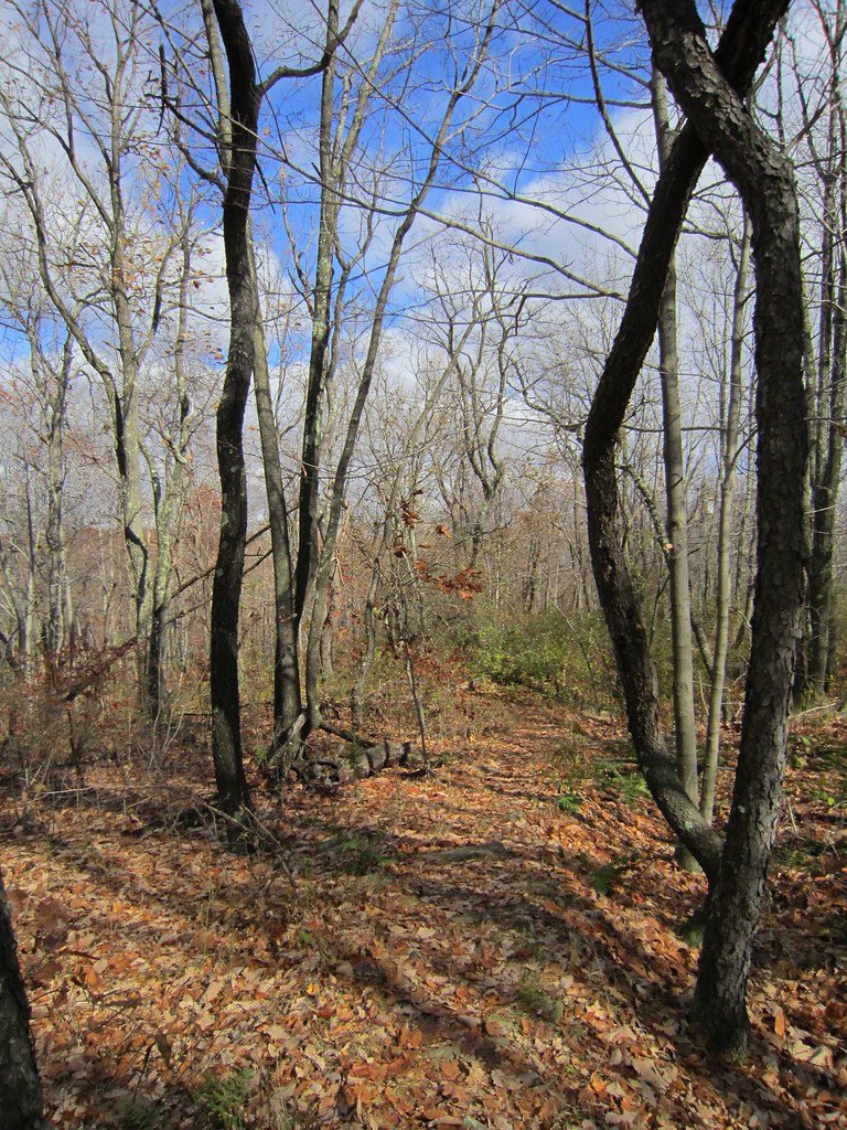 Photo: syvwlch, CC BY 2.0 (via Flickr)
Wildcat Ridge Trail is a 2-mile point-to-point hike in New Jersey's Wildcat Ridge Wildlife Management Area, managed by State Fish and Wildlife. The trail rises from about 939 feet to a high point of 993 feet, with a total elevation gain of 180 feet, and is rated easy. The route is a short outing, and the climb is gentle. The steepest stretch comes at about 0.66 miles in, with a grade of 18 percent. The trail also works for mountain bikers, and the Splitrock Trail (Dk Blue) and the Four Birds Trail both start within a tenth of a mile. For comfortable weather, aim for late spring or early fall. Typical averages from a nearby weather station show May highs around 70°F and September highs around 75°F, with July the warmest month at about 83°F. Nearby, the Splitrock Trail and the Four Birds Trail are both within a tenth of a mile. Climbers can head to Hogs Pen, about 2.6 miles away, and paddlers can reach the Rockaway River, about 4.5 miles away.
Camp Lewis
Campground
Telemark Pizza
Restaurant
 If it rainsJerrye & Roy Klotz, MD, CC BY-SA 3.0 · Wikimedia Commons
Boonton Historical Society and Museum
Museum
Historical society and museum in Boonton, New Jersey
Places © OpenStreetMap contributors · Photos: Jerrye & Roy Klotz, MD, CC BY-SA 3.0 (commons)
More in HackettstownNot on Roamze yet. Their page has how to reach them.
Four Birds TrailHikingPhoto: syvwlch, CC BY 2.0 (via Flickr)0.1 miSplitrock TrailHikingPhoto: syvwlch, CC BY 2.0 (via Flickr)0.1 mi Rockaway RiverCanoeingPhoto: Zeete, CC BY-SA 4.0 (via Wikimedia Commons)4.5 mi
Source: Roamze catalog (indexable pages within 10 miles, PostGIS distance)
Splitrock TrailHiking · Next doorPhoto: syvwlch, CC BY 2.0 (via Flickr) Righter Mine TrailHiking · ~2 min drivePhoto: syvwlch, CC BY 2.0 (via Flickr)Old Koehler TrailHiking · ~2 min drivePhoto: syvwlch, CC BY 2.0 (via Flickr)
 Hibernia Brook TrailHiking · ~2 min drivePhoto: syvwlch, CC BY 2.0 (via Flickr)Flyway SpurHiking · ~2 min drivePhoto: syvwlch, CC BY 2.0 (via Flickr)
 MeridenHiking · ~2 min drivePhoto: syvwlch, CC BY 2.0 (via Flickr)Meriden TrailHiking · ~3 min drivePhoto: syvwlch, CC BY 2.0 (via Flickr)
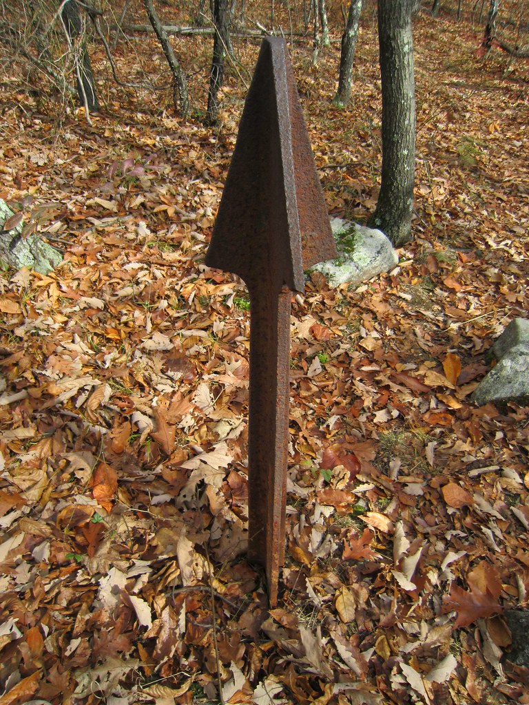 Beach Glen TrailHiking · ~3 min drivePhoto: syvwlch, CC BY 2.0 (via Flickr)
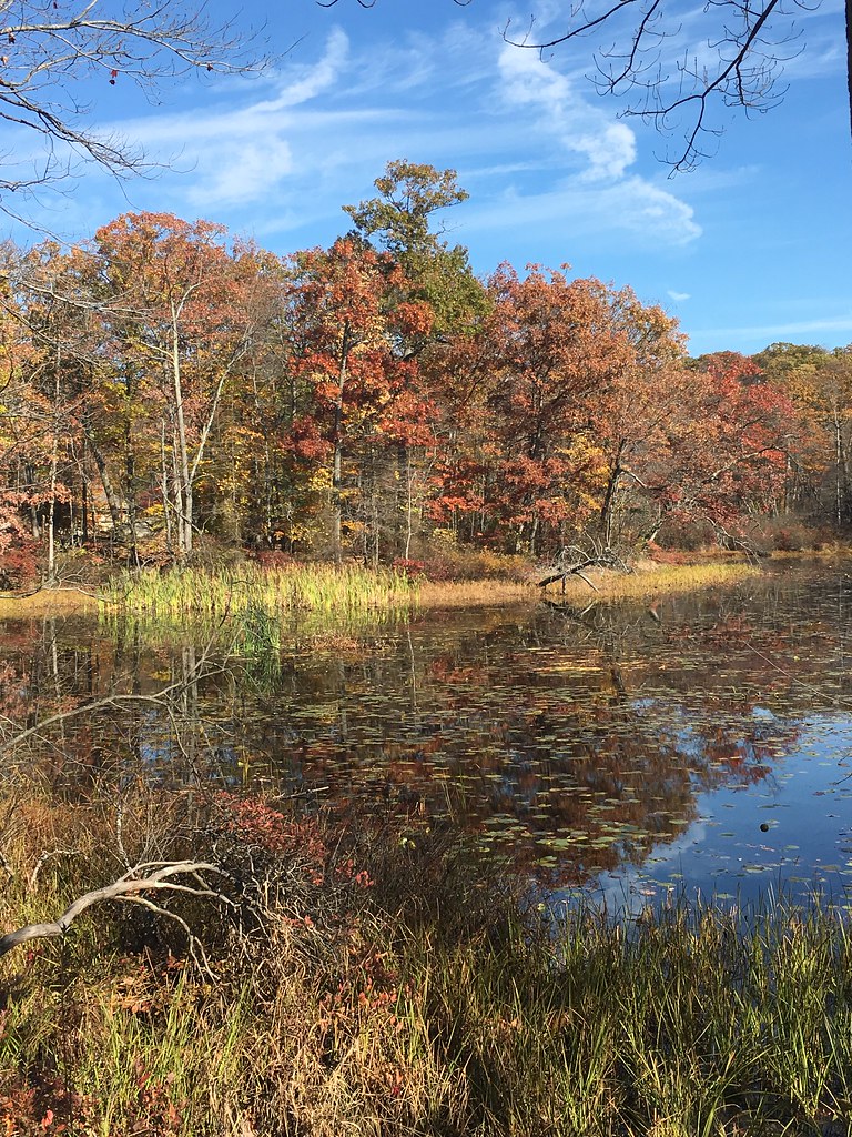 Orange TrailHiking · ~5 min drivePhoto: TomH2323, CC BY 2.0 (via Flickr)
 Durham TrailHiking · ~6 min drivePhoto: Lucaslsx321, CC BY-SA 4.0 (via Wikimedia Commons)
Best months: April–October. Best months have typical highs of 55–85 °F, lows of 30 °F or warmer (32 °F where the station doesn't record snow), at most one snowy day and no more than 12 wet days.
Jan
36° / 19°
11 wet
Feb
39° / 19°
9 wet
Mar
47° / 27°
11 wet
Apr
59° / 38°
11 wet
May
70° / 48°
11 wet
Jun
78° / 57°
11 wet
Jul
83° / 61°
10 wet
Aug
81° / 59°
9 wet
Sep
75° / 52°
8 wet
Oct
63° / 41°
9 wet
Nov
51° / 32°
8 wet
Dec
41° / 25°
10 wet
Typical high / low (°F) and days with rain or snow, 1991–2020. Measured at Charlotteburg Rsvr, NJ, 5.1 mi away at 778 ft. This station doesn't record snowfall. Source: NOAA NCEI U.S. Climate Normals 1991–2020.
Map and trail data © OpenStreetMap contributors
